


Camino del Risco: from Teno Alto to Buenavista del Norte (map, profile and tips)
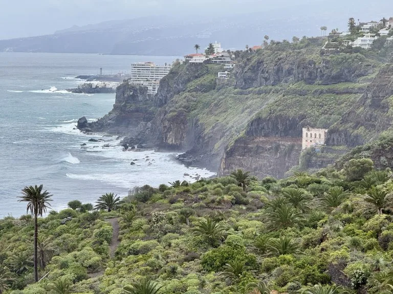
The Camino del Risco is the old trail that linked Teno Alto and Buenavista del Norte, also known as the Camino de los Muertos (Path of the Dead): it was the route locals took to carry coffins down from Los Bailaderos to the town centre for burial. It drops almost 850 m in under 4 km, inside the Teno Rural Park.
We haven’t done this descent ourselves yet: we give you what you need to set off without getting lost, and we’ll add our own experience later.
Good to know: the elevation gain shown is +844 m and −186 m because the track is recorded in the uphill direction (from Casablanca towards Teno Alto). This page describes the downhill direction, which is the one in the official description, so the figures are reversed.
Camino del Risco: the hike at a glance
- 3.73kmDistance
- 2 h 20Estimated time
- +186mElevation gain
- −844mElevation loss
- 784mHighest point
- 115mLowest point
- One wayRoute type
- ModerateDifficulty
So you don’t get lost
- Start
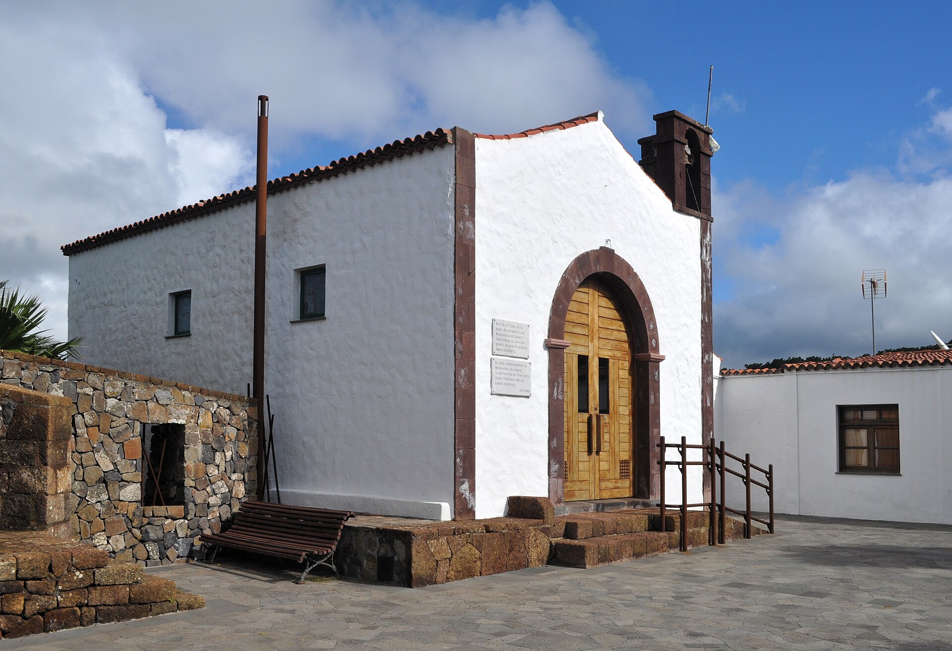
- Teno Alto square (Plaza de los Bailaderos), next to the church, Camino Los Bailaderos. GPS: 28.34341 / -16.87679. Google Maps directions · OpenStreetMap
- Finish
- Casablanca, on the TF-445 road, at the turning for the Camino del Risco. GPS: 28.36103 / -16.87072.
- Transport
- No services near either end, and few parking spaces. The route is one way: arrange your return (two vehicles or a taxi).
- Waymarking
- Posts and signs showing the PR code and yellow and white marks.
- Access
- Free, no reservation needed for visitors.
- Time
- 2 h 20 announced, probably calculated for the uphill direction. Allow less going down.
The route step by step
The trail starts at Plaza de los Bailaderos, next to the Teno church, and heads north down the Camino de La Torre. It crosses a pass on the way to the Pista de La Mulata. After the Barreras de Puerto Malo, the descent stays gentle as far as an old tagoror, a Guanche meeting place.
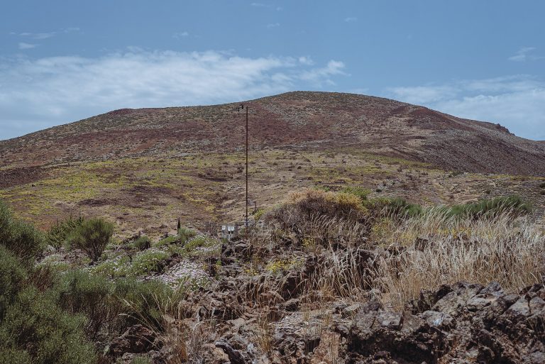
From there the slope becomes much steeper, with superb views of the Roque del Toscón. The path then follows the Aderno ravine, crosses a raised wooden aqueduct and reaches Casablanca, where the trail ends. The highest point is 784 m around kilometre 0.2 and the lowest is 115 m at the finish.
Before you go
- Steep descent: 844 m of descent over 3.7 km is hard on the knees. Wear good shoes and bring poles.
- Getting back: the trail is one way and no services are listed nearby. Sort out your logistics before you go. If you start at Casablanca and climb, you will gain 844 m.
- Water: there is no water point on the route, so bring your own bottle.
- Protected area: the trail lies in the Teno Rural Park. Stay on the marked path.
For gear, see our guide to mandatory hiking gear in Tenerife.
Frequently asked questions
Which direction should I walk the Camino del Risco?
The official description starts at Teno Alto and goes down to Casablanca, which is the direction of this page (−844 m). In the other direction it is an 844 m climb, much more demanding.
How long does it take?
The announced time is 2 h 20 for 3.73 km, most likely for the uphill direction. Going down, allow less, but do not underestimate the slope.
Do I need a permit or a reservation?
No, free access for visitors, with no reservation.
How do I get back at the end?
No transport is listed nearby. Arrange a taxi, a second vehicle or a pick-up.
Keep exploring
To explore the area, read our guides to the Teno massif and to Buenavista del Norte.
More hikes in this series: Roques de García, Siete Cañadas, Arenas Negras (Teide), Arenas Negras (Garachico), Vilaflor and the Lunar Landscape, Masca Gorge, Montaña Blanca (Teide), Anaga Lighthouse and Chamorga, Cruz del Carmen to Punta del Hidalgo, Afur and Taganana.
Data checked on 27 October 2026. Trails can be closed or changed: always check official information before you set off.