


Buenavista del Norte: Punta de Teno, the Village and Trails
Updated: 20 October 2026
Buenavista del Norte is the north-westernmost municipality in Tenerife. Founded in the 16th century, it has more than 5,000 inhabitants, and about 80% of its territory is classed as a protected natural area. People come for its village with a very local feel, and above all for Punta de Teno and its lighthouse.
🎯 Key facts
- Buenavista del Norte is in the north-west of Tenerife. By road, take the TF-5 to Icod de los Vinos, then local roads. The last stretch is winding.
- Allow about 1 hour 15 minutes from Tenerife North airport (60 km) and about 1 hour 30 minutes from Tenerife South airport (85 km).
- What to see: the square and church of Nuestra Señora de los Remedios, Punta de Teno and its lighthouse, the Teno Rural Park.
- The beaches are volcanic. Swimming is only recommended when the sea is calm.
- The romería usually takes place in May. The date changes every year: check in advance.
The historic centre
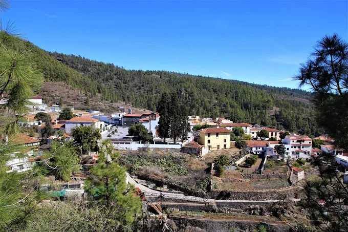
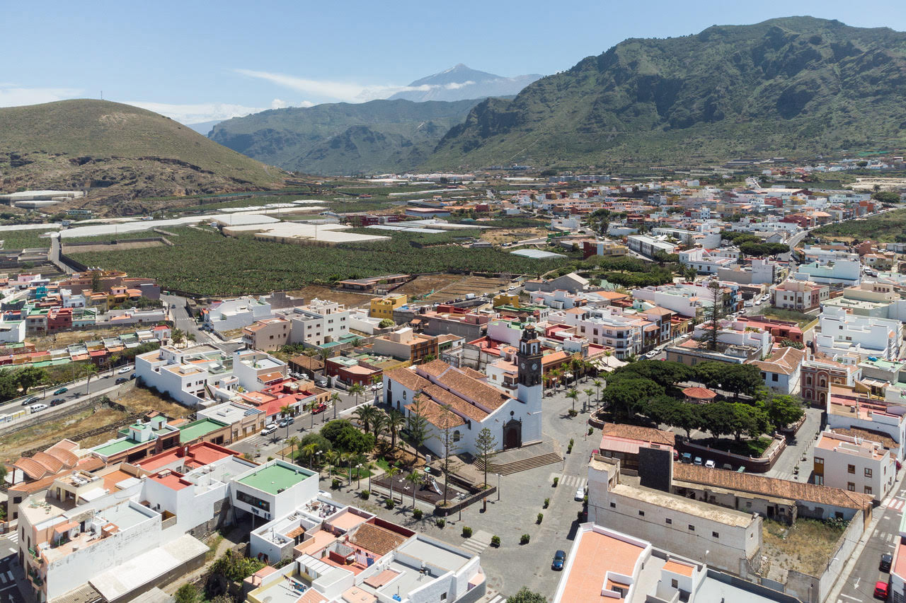
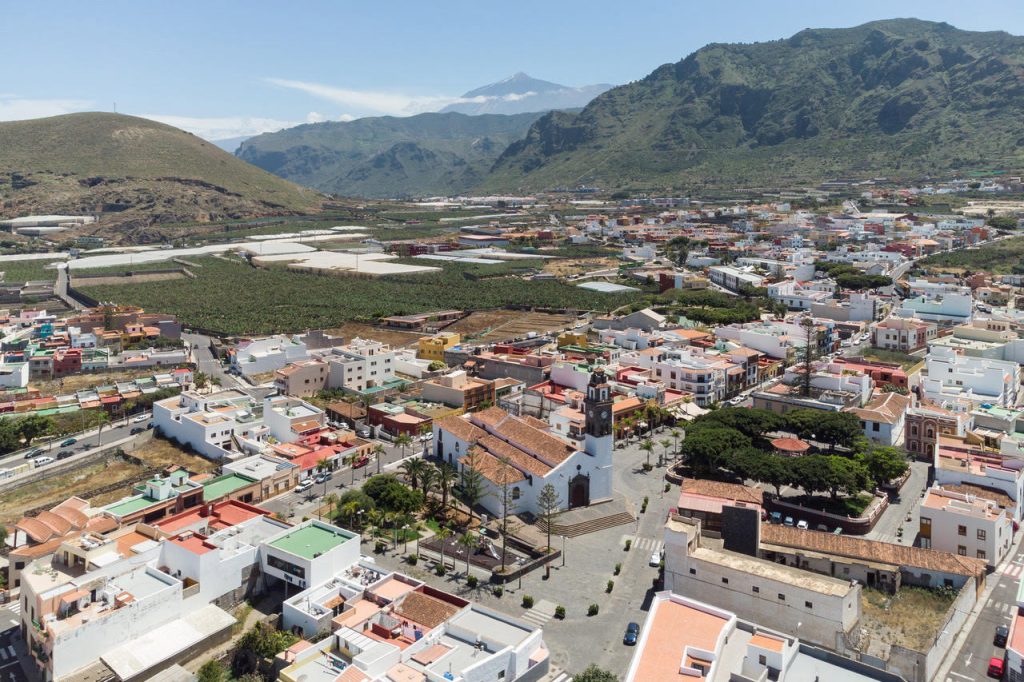
The village has traditional Canarian architecture. The church of Nuestra Señora de los Remedios, patron saint of Buenavista, stands facing the square of the same name. Its construction began in 1513. A major fire destroyed it in 1996, and it has since been restored.
You will also find the former San Francisco monastery, the San Sebastián chapel (16th century), the Casa de la Viuda, the estates of La Fuente and San Juan de Taco, and the Triana ravine. A walk around the historic district takes about 1 hour 30 minutes, from the San Francisco convent to the Triana bridge.
Punta de Teno and the rural park
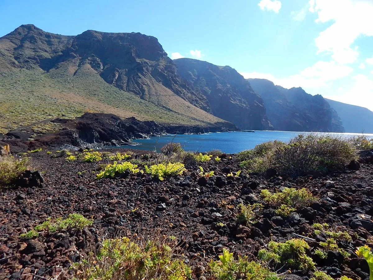
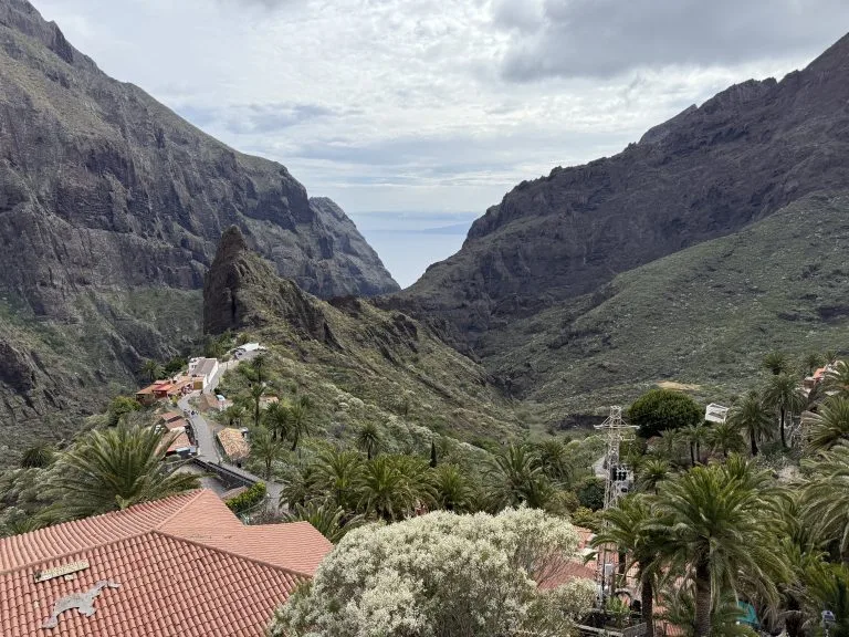
Punta de Teno is the western tip of Tenerife. Its lighthouse offers views of the north coast. It is part of the Teno Rural Park, a natural monument of about 7,500 hectares of rural and marine landscapes, mountains and ravines. The Los Gigantes cliffs, 300 to 600 metres high, plunge into the sea next to the Masca ravine.
To go further, read our guide to the Teno massif, Masca and Los Gigantes.
Hikes and walks
- An easy walk of about 45 minutes (1.5 km) runs along the seafront, from Las Arenas beach to El Fraile beach.
- The Las Cuevas ravine trail towards Teno Bajo is 4.25 km, from Los Bailaderos to the Punta de Teno lighthouse.
- Another 4 km trail also starts from Los Bailaderos. It suits experienced hikers and can give you vertigo.
For a real mountain hike that ends in Buenavista, the descent of the Camino del Risco starts at Teno Alto: 3.7 km, about 2 h 20, moderate difficulty. The route, map and profile are in our guide.
Beaches and swimming
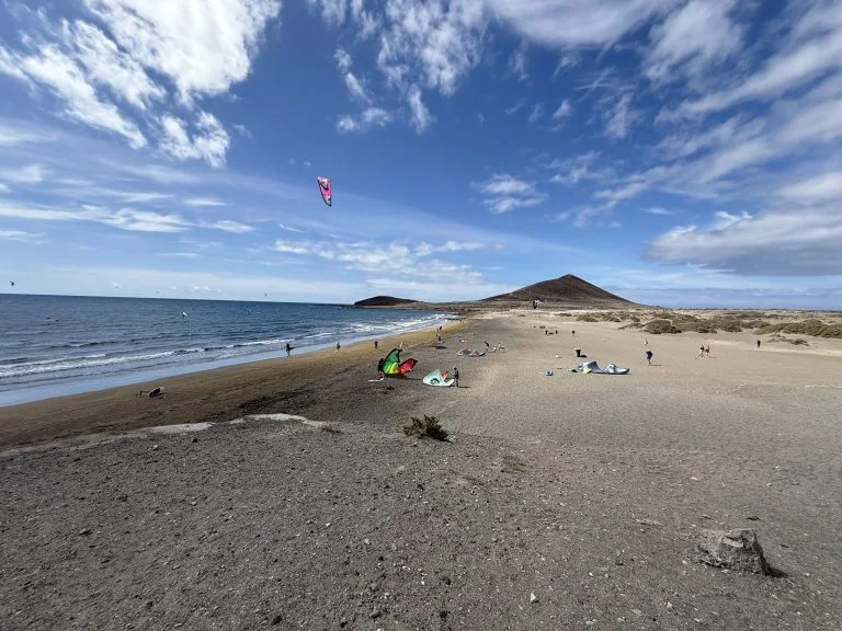
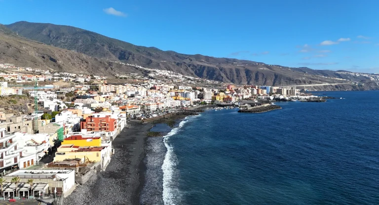
The beaches are volcanic in origin. Las Arenas beach has black sand, with regular waves. There are also natural pools and swimming areas popular with locals, to be used only when the sea is calm.
Festivals and food
The romería usually takes place in May, during the festivities for the patron saint: decorated floats, traditional costumes, folk music and local products. The date varies from year to year. To understand this tradition, read our article on the romerías in Tenerife.
The restaurants and bars serve Canarian food, with local produce and traditional recipes, often fresh fish and generous dishes.
How to get there
By car, take the TF-5 to Icod de los Vinos and then local roads. By bus, TITSA lines connect Buenavista with the other northern municipalities, but journeys are longer than to the more central areas. You can also combine the visit with Garachico and the Los Chochos pool in Los Silos.
Still deciding where to base yourself? Compare the areas in our guide to where to stay in Tenerife.
Frequently asked questions
Where is Buenavista del Norte?
At the north-western tip of Tenerife. Allow about 1 hour 15 minutes by road from Tenerife North airport and about 1 hour 30 minutes from Tenerife South airport.
What is there to see in Buenavista del Norte?
The historic centre with the church of Nuestra Señora de los Remedios, Punta de Teno and its lighthouse, the Teno Rural Park and the volcanic beaches of the coast.
Can you swim in Buenavista del Norte?
Yes, there are beaches and natural pools, but only swim there when the sea is calm.
When is the Buenavista romería?
Usually in May, during the festivities for the patron saint. The date changes every year: check in advance.
Read also: Los Silos.