


Los Silos in Tenerife: Historic Centre, Coast and Trails
Updated: 20 October 2026
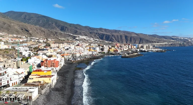
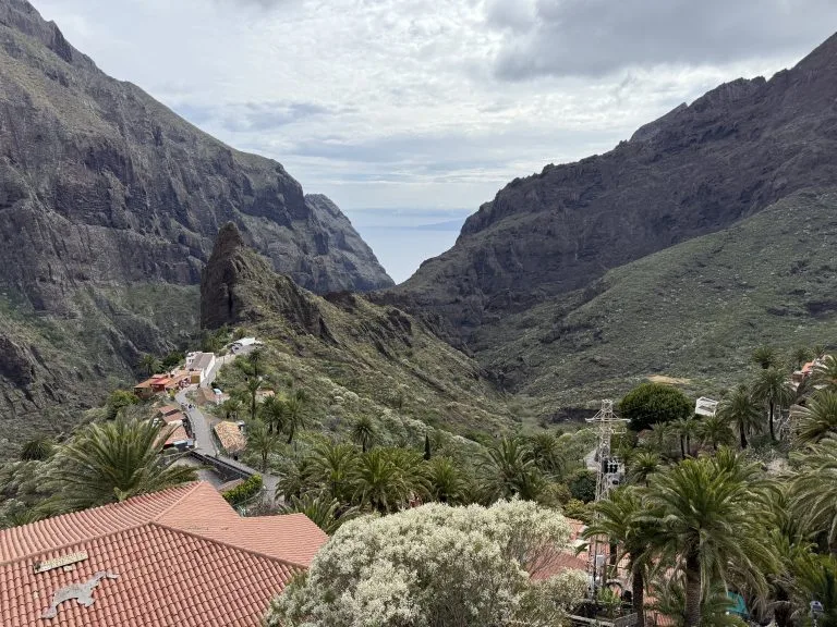
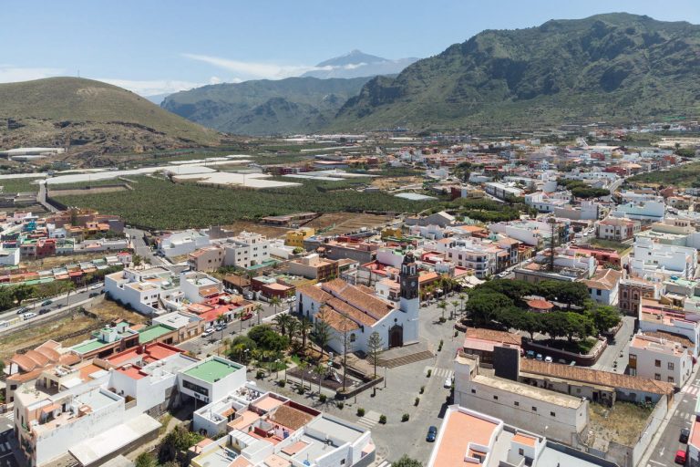
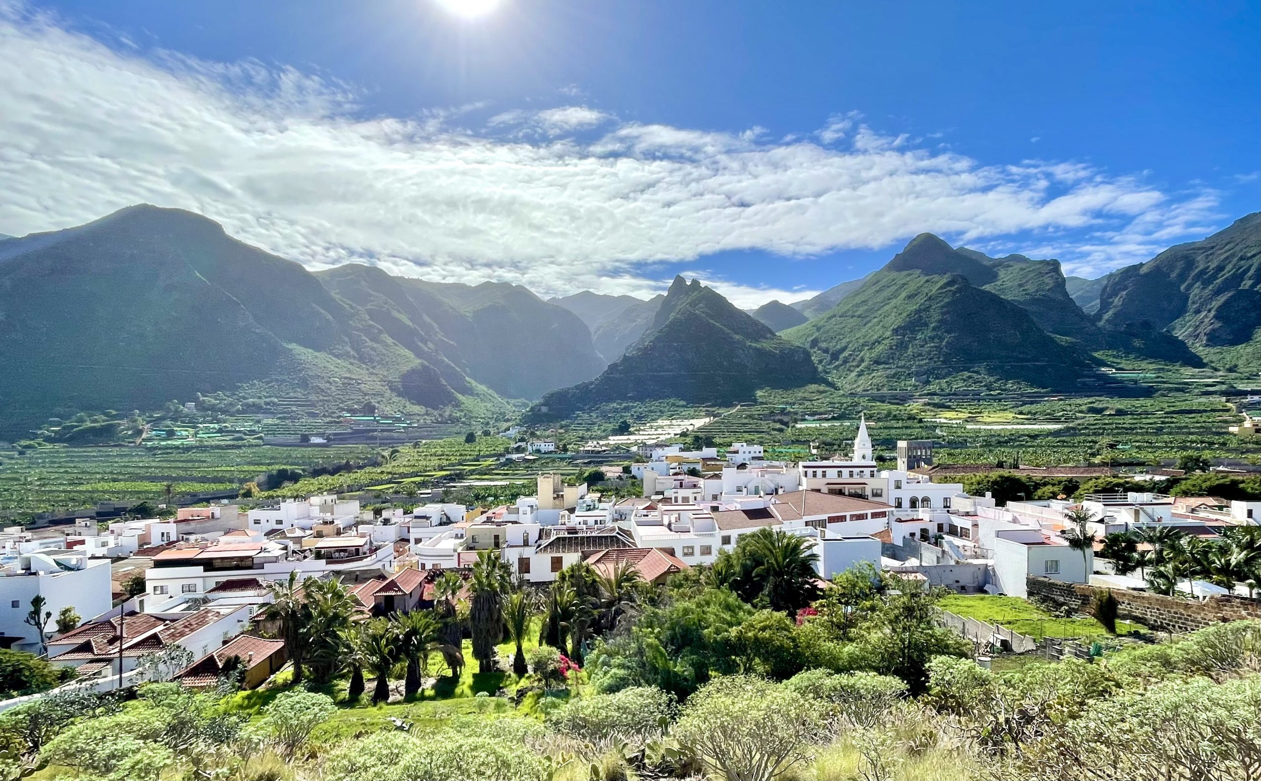
Los Silos is a small municipality in the north-west of Tenerife, between Buenavista del Norte and Garachico. Its historic centre is protected, and part of its territory belongs to the Teno Rural Park. It is a good starting point for exploring this quiet coast.
🎯 Key facts
- Los Silos is in the north-west of Tenerife, between Buenavista del Norte and Garachico. Allow about 1 hour 20 minutes from Santa Cruz, via the TF-42 road from Icod de los Vinos.
- From Tenerife North airport: about 60 km, 1 hour. From Tenerife South airport: about 65 km, 1 hour 15 to 1 hour 20.
- What to see: Plaza de La Luz, the Nuestra Señora de La Luz church, the former San Sebastián convent and the lanes of the historic centre.
- Farmers’ market: Sundays from 9 am to 2 pm, with local products.
- Average annual temperature of about 20 °C, between 16 and 26 °C.
The historic centre
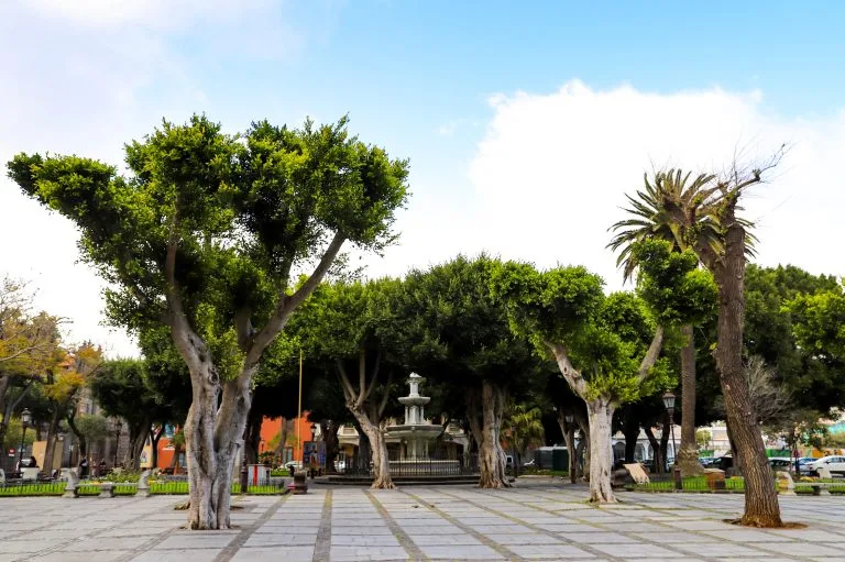
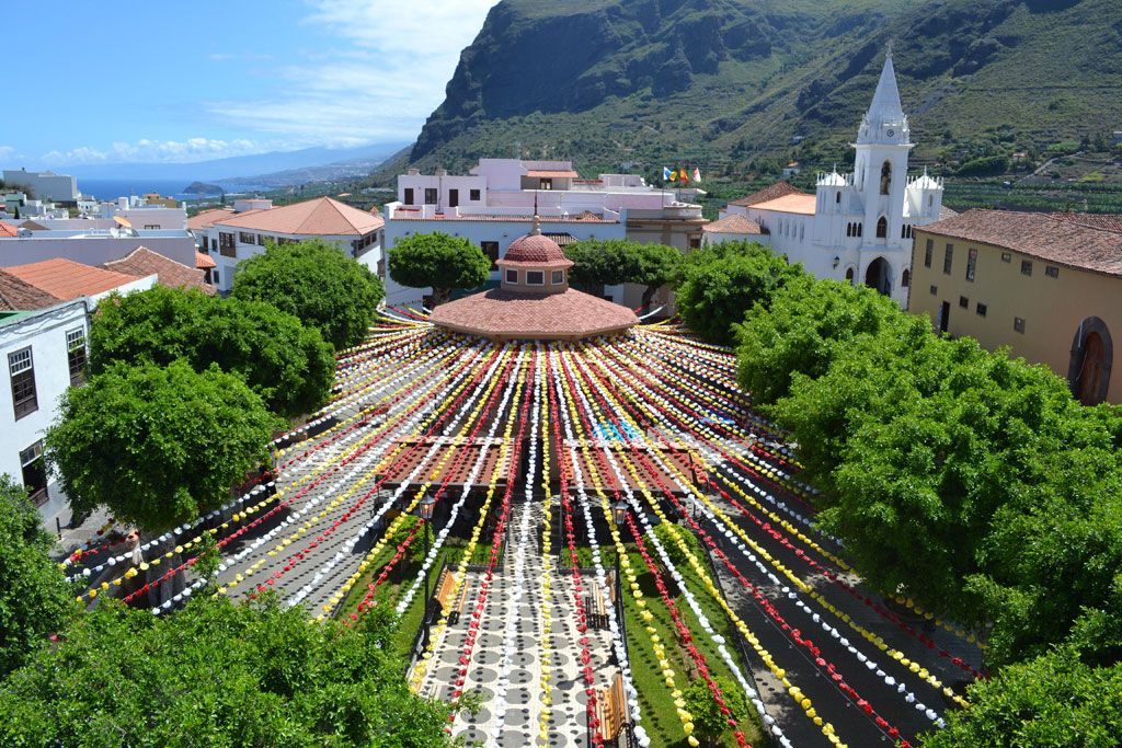
The town’s name comes from three granaries (silos) built in the area. Plaza de La Luz was the heart of the village for a long time, and it was remodelled in 1923. The parish church of Nuestra Señora de La Luz dates from the late 16th century and was renovated in the 20th century.
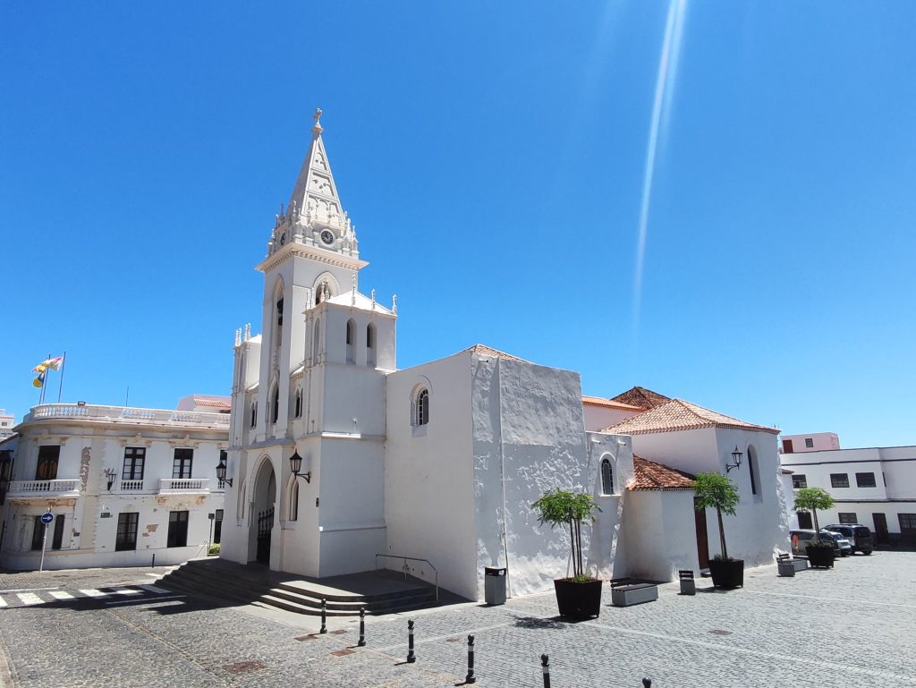
- The former Bernardine convent of San Sebastián: founded in 1649, it keeps part of its original architecture.
- The chapel of El Calvario: a 20th-century neo-Gothic enclosure with a triangular pediment.
- The historic lanes: calle Félix Benítez de Lugo (neoclassical façade at number 20), calle Doctor Jordán (neo-Canarian building at number 23), the Casa de Caraveo opposite the Placeta de la Constitución, and calle del Olivo.
Coast and natural pools
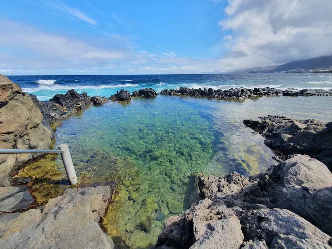
The seafront has swimming areas, and the coast has natural pools carved into the volcanic rock. The details of the Los Chochos pool are in our guide to the charco de Los Chochos. As along the whole north coast, check the state of the sea before you swim.
Hiking
Three official trails are signposted:
- PR-TF 53, from Cuevas Negras to Erjos via Los Silos: about 5.7 km, with ravines and old paths up to the hamlet of Cuevas Negras.
- PR-TF 54, from Los Silos to Monte del Agua via Las Moradas: intermediate level, starting from the Plaza de Erjos, about 3 km to Las Moradas de Arriba.
- PR-TF 55, from Los Silos to El Palmar via Talavera: intermediate level, about 4 hours, through laurel forest vegetation.
For other trails in the area, read our guide to the Teno massif.
Eating out and going out
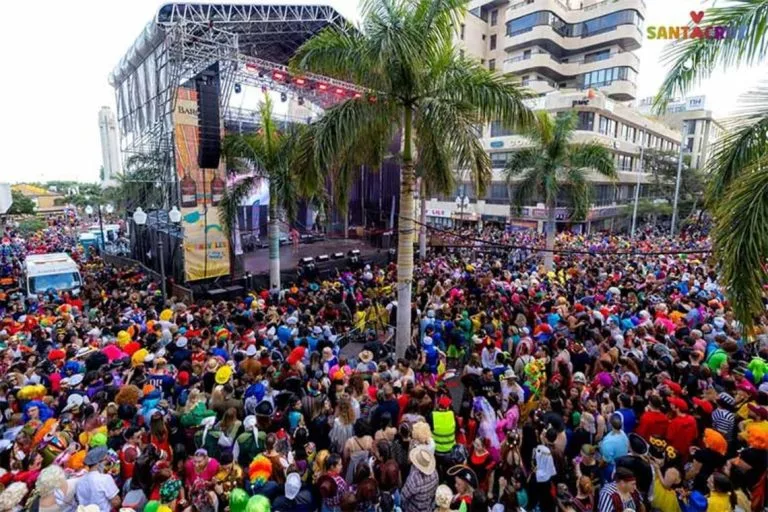
The bars and restaurants in the historic centre and the coastal area serve Canarian food: fresh fish, meat, papas arrugadas and cheeses from the island. There are also cafés and small bars. The Los Silos International Storytelling Festival and other traditional festivals take place in the municipality, but I couldn’t find any dates: check with the town hall.
How to get there
By car, the TF-42 road links Icod de los Vinos to Buenavista del Norte. Several TITSA lines connect Los Silos with the northern municipalities and Puerto de la Cruz. The town is a good starting point for visiting Garachico and Buenavista del Norte.
Still deciding where to base yourself? Compare the areas in our guide to where to stay in Tenerife.
Frequently asked questions
Where is Los Silos?
In the north-west of Tenerife, between Buenavista del Norte and Garachico, about 1 hour 20 minutes from Santa Cruz by car.
What is there to see in Los Silos?
Plaza de La Luz, the Nuestra Señora de La Luz church, the former San Sebastián convent, the chapel of El Calvario and the lanes of the historic centre.
Is there a market in Los Silos?
Yes, a farmers’ market is held on Sundays from 9 am to 2 pm.
Can you hike from Los Silos?
Yes, three official trails start from the town: PR-TF 53, PR-TF 54 and PR-TF 55.