


Güímar: pyramids, Malpaís and the south-east coast of Tenerife
Updated: 19 October 2026
🎯 Key things to know
- Güímar is a municipality in the south-east of Tenerife, about 28 km from Santa Cruz, or 25 to 30 minutes by car on the TF-1 motorway.
- Not to miss: the ethnographic park of the pyramids, the Malpaís de Güímar, the coast of Puertito de Güímar and the historic centre.
- The municipality climbs up to Izaña, home to an astronomy centre and one of the oldest weather observatories in Spain.
- TITSA lines connect Güímar to Santa Cruz in 40 to 60 minutes.
Güímar lies between Candelaria and the south coast, far from the bustle of the resorts. It is best known for its pyramids, but the municipality has much more to offer: a landscape of lava flows down to the sea, a quiet little harbour and a centre with old churches. Here is what is worth the detour.
The Güímar pyramids
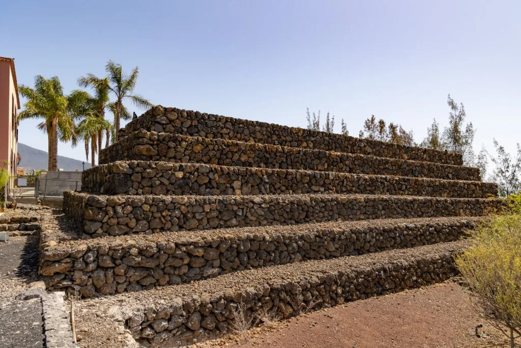
The ethnographic park was built around stepped pyramids. The explorer Thor Heyerdahl encouraged its creation, and several rooms present the ancient civilisations that built pyramids. Our guide details the visit, the opening hours and what to know before you go: Güímar pyramids.
The heritage of the centre
- Chinguaro cave: listed as a historic site, it is, according to historians, the cave palace of the Guanche king Acaymo. A quiet beach and restaurants are nearby.
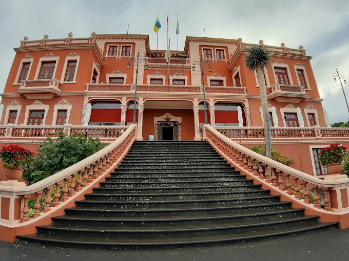
- Town hall: built in 1649 as a Dominican monastery, it was put to civil use in the mid-19th century.
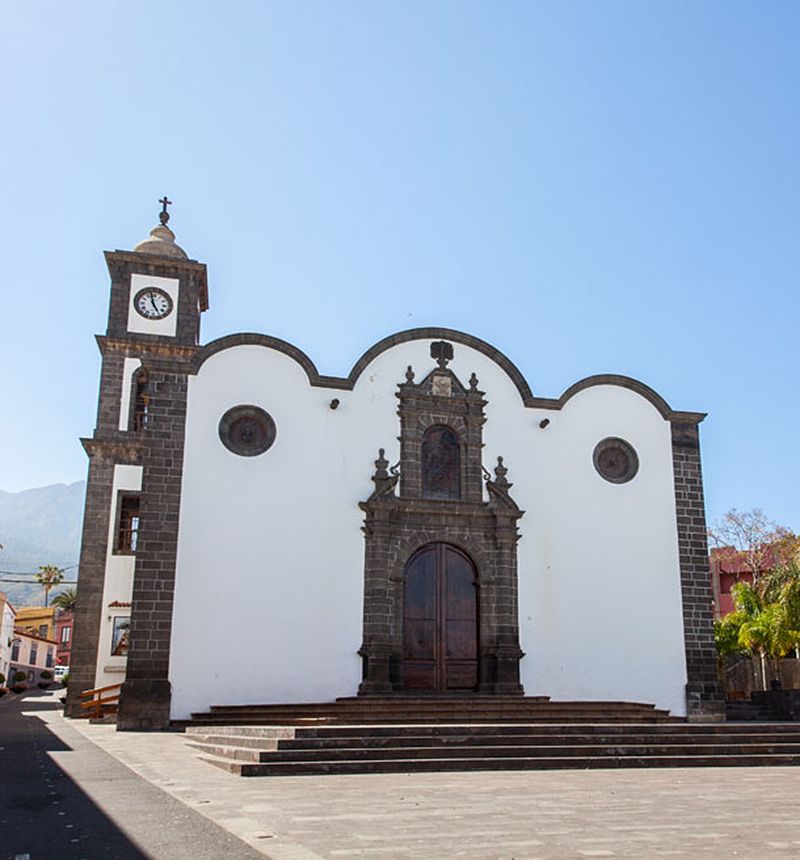
- Church of San Pedro Apóstol: declared a Monument, built in 1606 and extended several times.
- Church of Santo Domingo de Guzmán: it was part of the 1649 Dominican monastery, destroyed by fire in 1775.
- Church of San Pedro Abajo: built in 1959 in a neo-Canarian style.
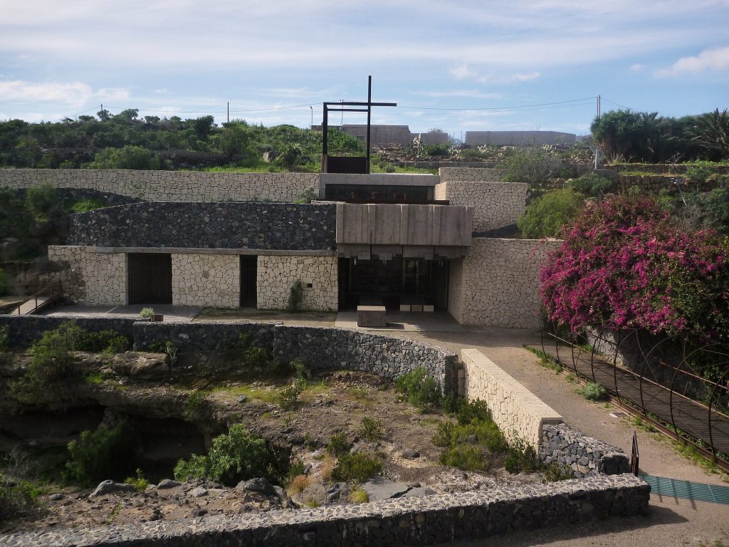
- Chapel of San Pedro Arriba: built in 1794, with a square plan, recognised as a Site of Cultural Interest.
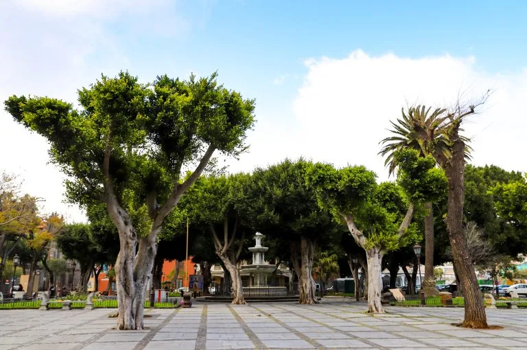
An urban route connects these places, from the chapel of San Pedro Arriba to the Plaza de las Flores, a modern square.
Nature and hiking
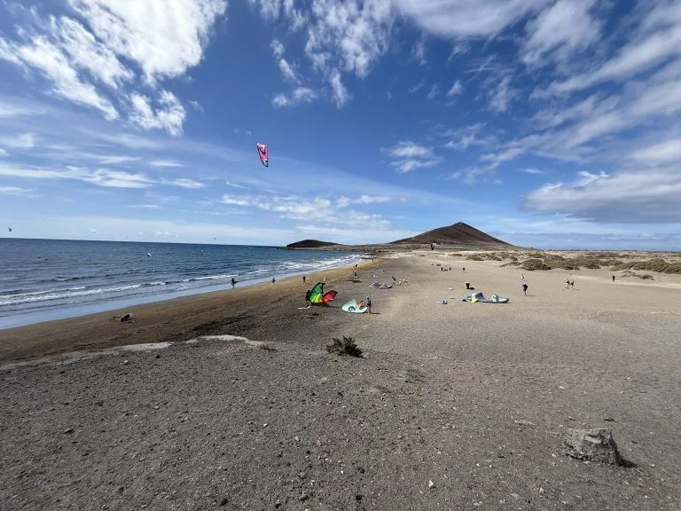
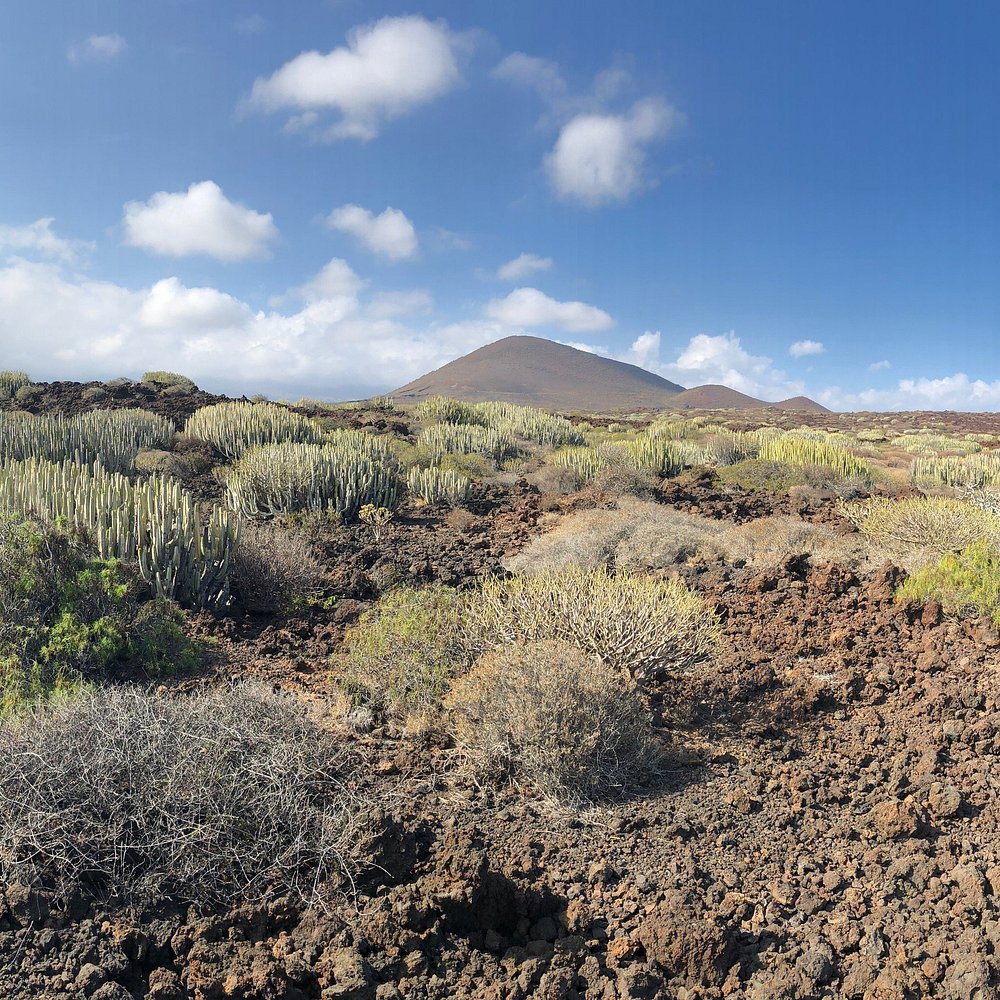
- Malpaís de Güímar: a special nature reserve, protected since 1987, with a large volcanic cone and lava flows running down to the sea. A 6.86 km loop starts from Puertito de Güímar: it takes about two and a half hours, among euphorbias and tabaibas, and passes near volcanic tubes such as the Cueva Honda, more than 100 metres long.
- Barranco de Herques: listed as a natural monument.
- Barranco de Badajoz and PR-TF 35 to Izaña: more demanding hikes. Check their level before you set off.
For more ideas, see our page on hiking in Tenerife.
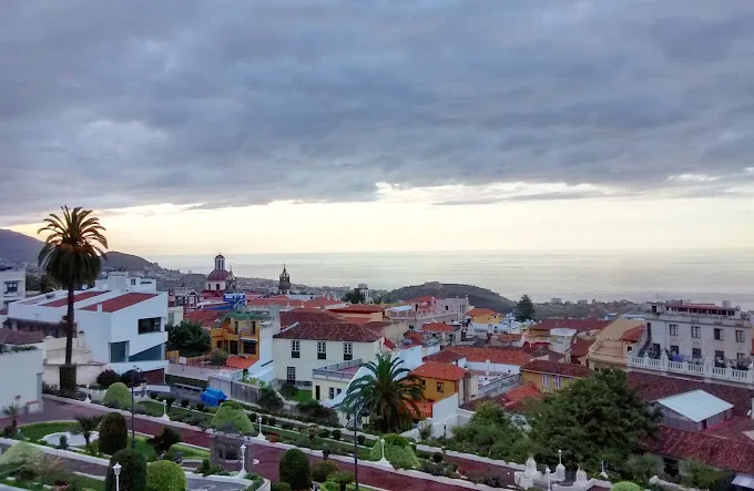
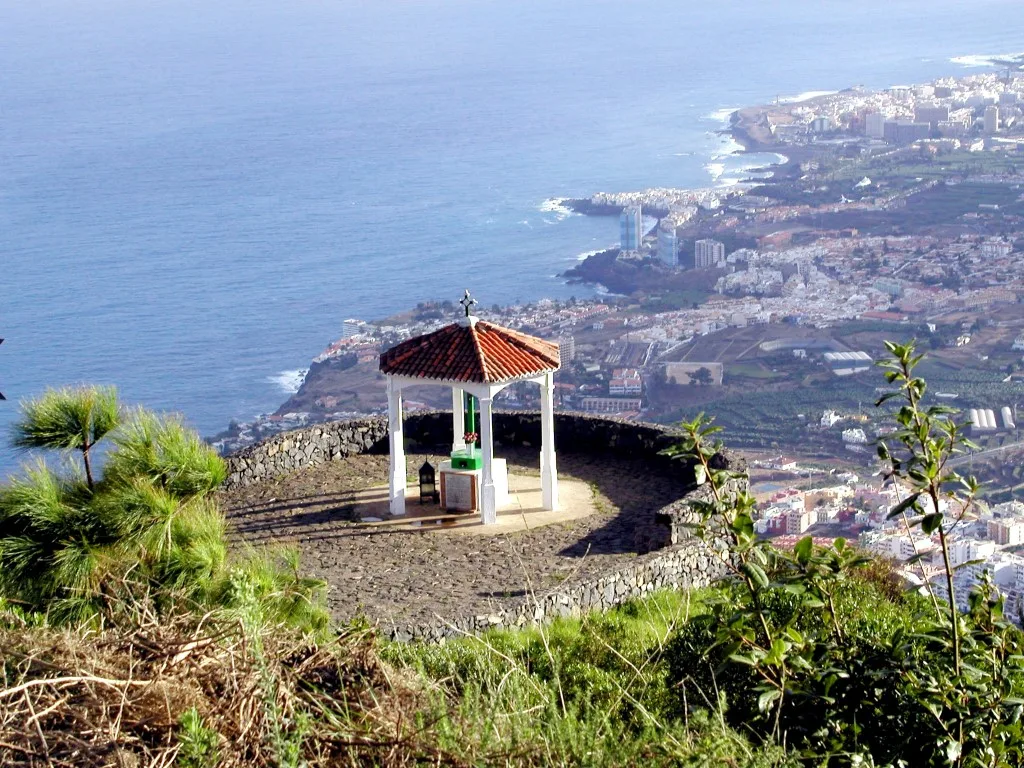
For an overview of the Güímar valley, the Chivisaya viewpoint is a good place to stop. It is on the TF-523 road, at kilometre 10, in the neighbouring municipality of Candelaria.
The coast: Puertito de Güímar
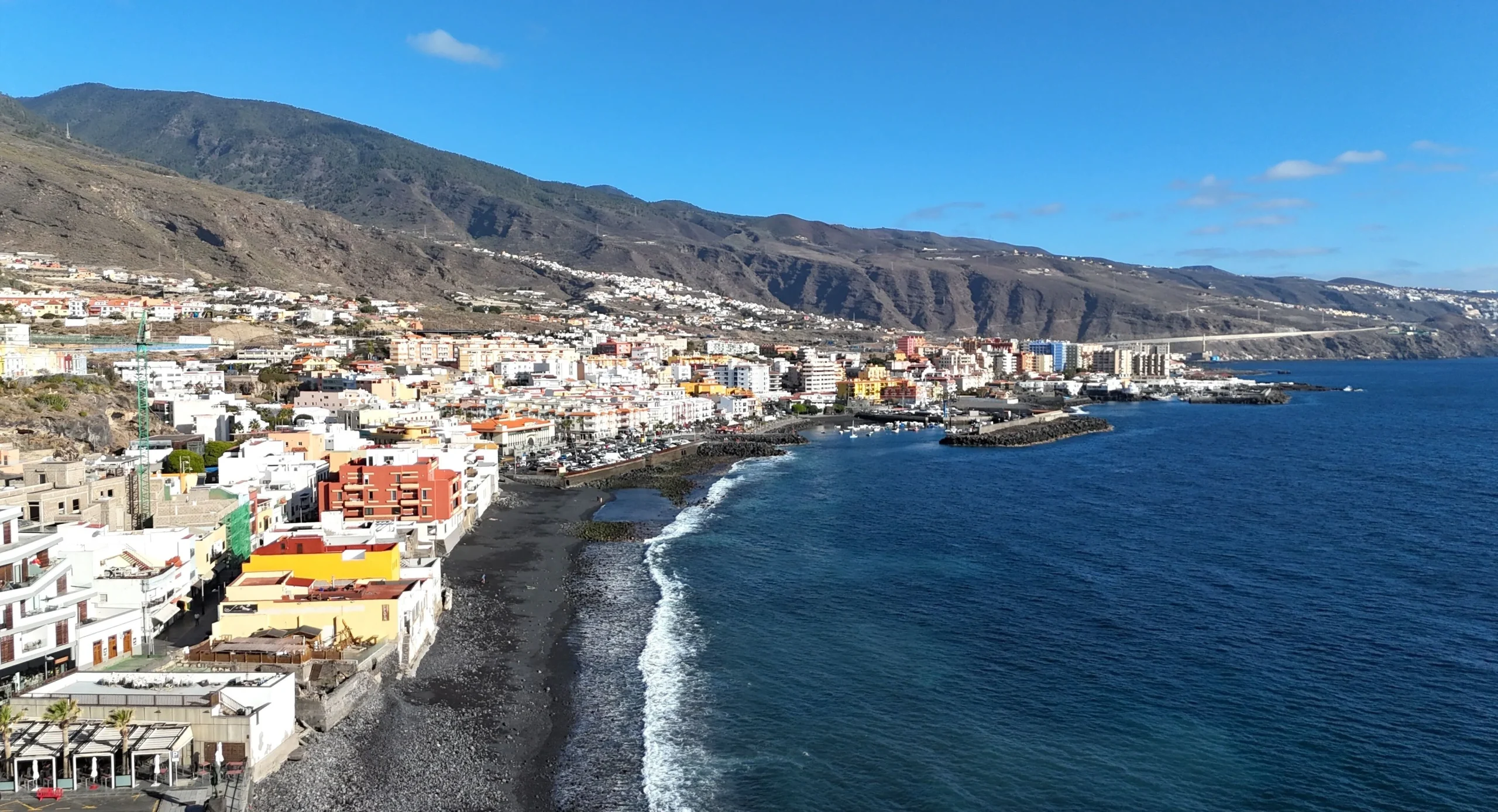
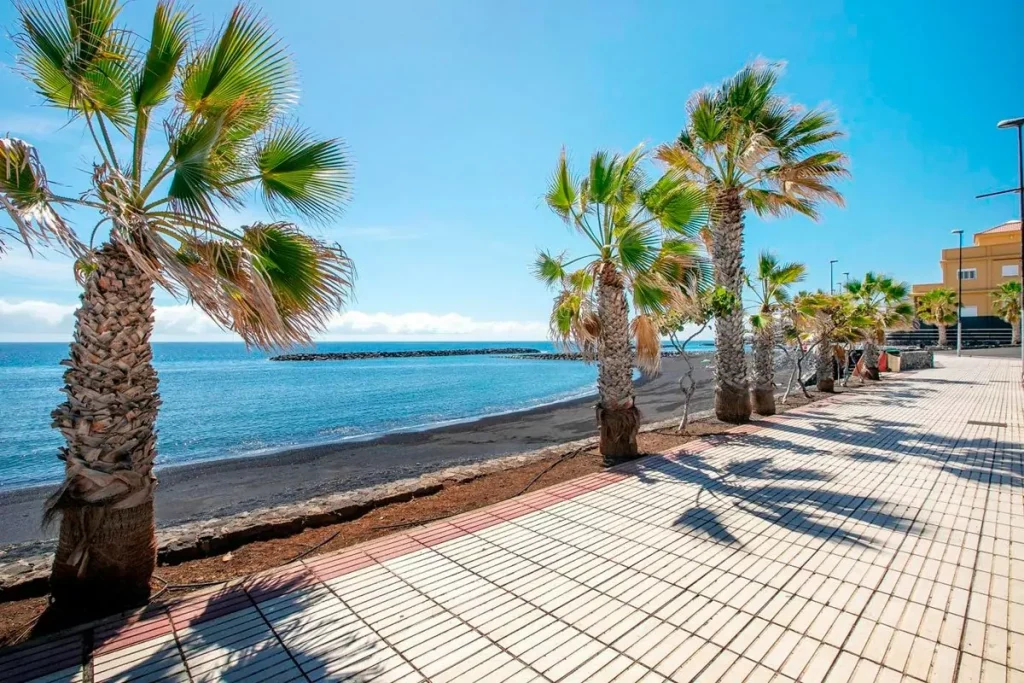
Puertito de Güímar is a small equipped marina with a popular beach, protected from the waves by several stone breakwaters. Further on, coves of pebbles and black sand open up where the Herques, El Escobonal and Badajoz ravines reach the sea. When the sea is calm, the natural pools formed by the volcanic rocks offer sheltered basins, mostly used by locals.
Eating and going out
You will mostly find traditional Canarian cooking, in the historic centre and on the coast. In Puertito, people often dine facing the sea, with fresh fish and simple dishes made with local produce. The Fiesta del Socorro, one of Tenerife’s big pilgrimages, takes place with a procession of the image to the coast, folk music and gatherings by the sea. Check the date for the year with the town hall.
Nearby
- Candelaria and its basilica, a few kilometres away.
- Santa Cruz de Tenerife, 25 to 30 minutes away.
- Teide National Park, reachable by car from the heights.
No car? TITSA buses serve Güímar: see our guide to getting around without a car.
Still deciding where to base yourself? Compare the areas in our guide to where to stay in Tenerife.
Frequently asked questions
Where is Güímar?
In the south-east of Tenerife, about 28 km from Santa Cruz, or 25 to 30 minutes by car on the TF-1.
What is there to see in Güímar?
The pyramids, the historic centre and its churches, the Chinguaro cave, the Malpaís de Güímar and the coast of Puertito de Güímar.
Can you hike in the Malpaís de Güímar?
Yes, a 6.86 km loop starts from Puertito de Güímar and takes about two and a half hours. Bring water and protect yourself from the sun, as there is little shade.
How do you get to Güímar without a car?
Several TITSA lines connect Güímar to Santa Cruz in 40 to 60 minutes. Check the timetables on titsa.com.
Also read: Arico and its villages.