


Arenas Negras at Garachico: a loop around the 1706 volcano (map, profile and tips)
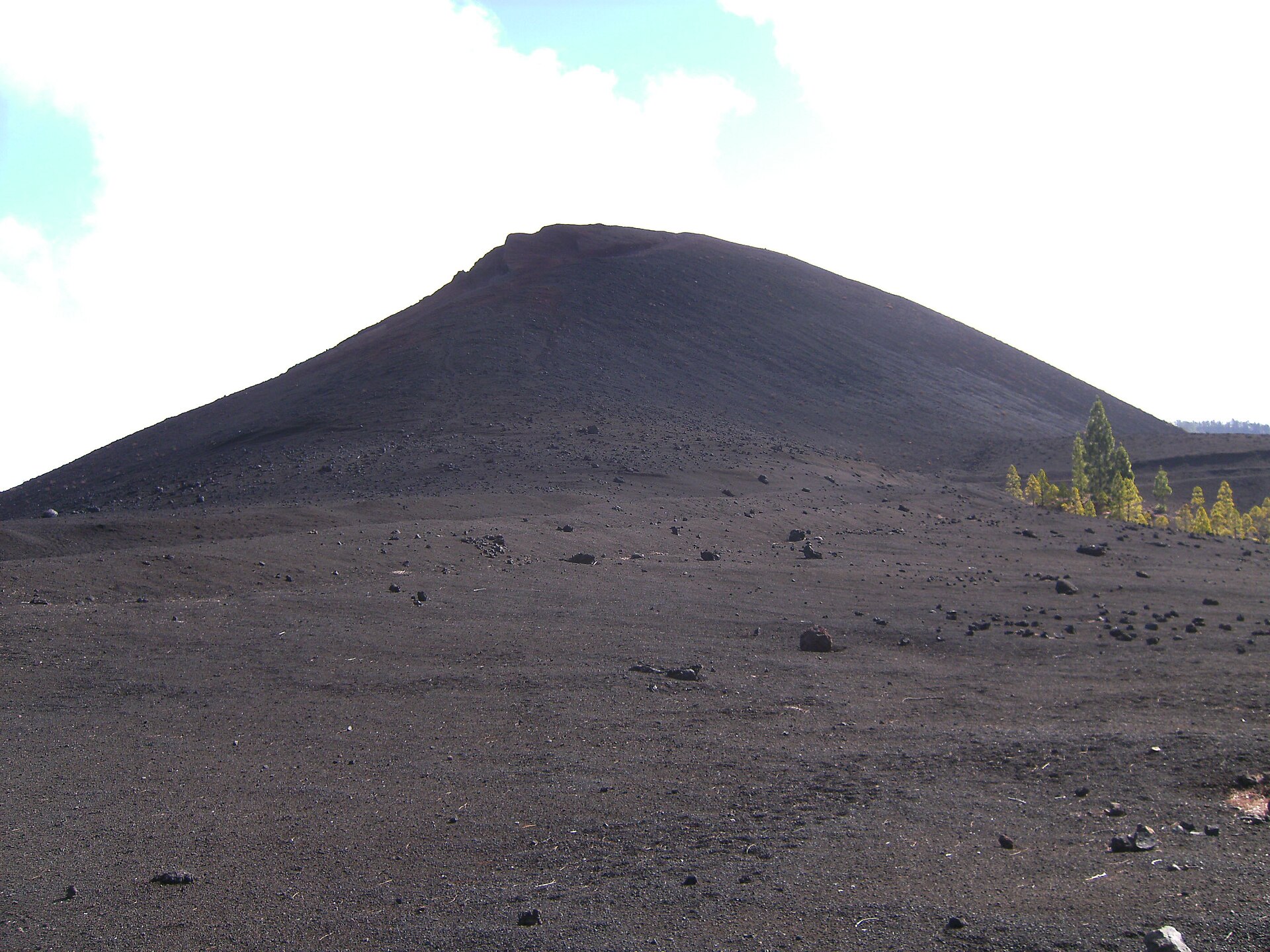
This loop of under 6 km goes around the Arenas Negras volcano, also known as the Garachico volcano. It was born in the 1706 eruption, one of the most recent on the island, which destroyed Garachico, then the trading capital of Tenerife. It is rated low difficulty.
We haven’t hiked this loop ourselves yet: we give you what you need to set off without getting lost, and we’ll add our own experience later. Don’t confuse it with the Arenas Negras loop in Teide National Park.
Arenas Negras (Garachico): the hike at a glance
- 5.83kmDistance
- 1 hEstimated time
- +248mElevation gain
- −248mElevation loss
- 1,389mHighest point
- 1,227mLowest point
- LoopRoute type
- EasyDifficulty
So you don’t get lost
- Start
- Arenas Negras Recreational Area, on the Pista General Arenas Negras – Garachico (municipalities of El Tanque and Garachico). GPS: 28.32016 / -16.75759. Google Maps directions · OpenStreetMap
- Finish
- Same point (loop). The loop can be walked in either direction.
- Transport
- No public transport in the area. The recreational area car park has very few spaces.
- Waymarking
- Posts and signs showing the PR code and yellow and white marks.
- Access
- Free, no reservation needed for visitors.
- Warning
- A few rocky malpaís (lava field) sections: walk with care.
The route step by step
The loop starts at the Arenas Negras Recreational Area and can be walked in either direction. The path mostly follows well-marked trails. It crosses a few rocky malpaís sections, where you should take extra care.
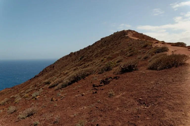
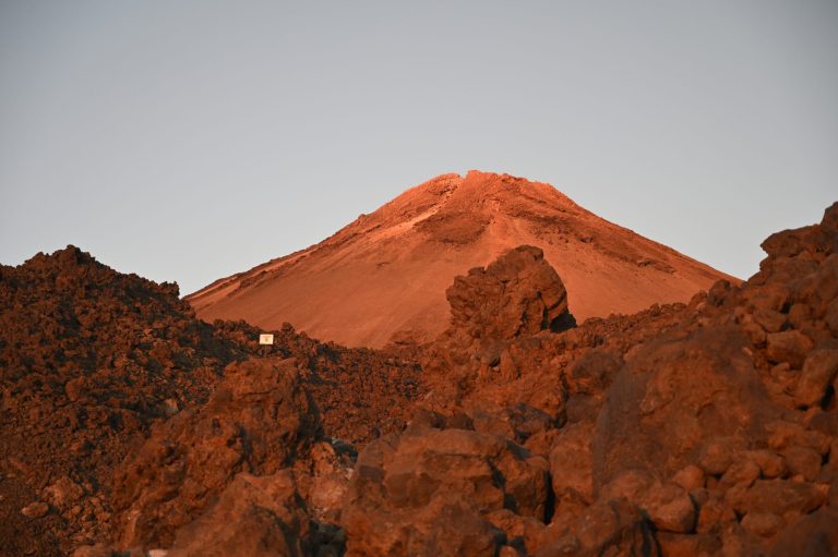
You walk between the tephra deposits and black lava flows of the volcano and green pine forest, a striking contrast. The lowest point is the start (1,227 m) and the highest point is 1,389 m, around kilometre 2.4. The recreational area is also a good place for a picnic before or after the walk.
Before you go
- Limited parking: very few spaces at the recreational area and no public transport. Plan how you will get there.
- Terrain: uneven lava sections, so walking shoes are recommended.
- Timing: 1 h is quoted for 5.83 km, which is a brisk pace: allow plenty more if you stop.
- Protected area: the loop lies within the Corona Forestal Natural Park, near the Chinyero Special Nature Reserve. Stay on the trails.
For gear, see our guide to mandatory hiking gear in Tenerife.
Frequently asked questions
How long does the loop take?
The announced time is 1 h for 5.83 km, which means brisk walking without a break. With photos and a picnic, allow noticeably more.
Do I need a permit or a reservation?
No, free access for visitors, with no reservation.
Can I get there by bus?
No, there is no public transport in the area.
Is the loop suitable for children?
It is rated low difficulty, but wear closed shoes because of the lava sections, and keep children close.
Keep exploring
In the same part of the island, see our guide to the Teno massif. For high mountain, read our Teide National Park guide.
More hikes in this series: Roques de García, Siete Cañadas, Arenas Negras (Teide), Vilaflor and the Lunar Landscape, Camino del Risco, Masca Gorge, Montaña Blanca (Teide), Anaga Lighthouse and Chamorga, Cruz del Carmen to Punta del Hidalgo, Afur and Taganana.
Data checked on 27 October 2026. Trails can be closed or changed: always check official information before you set off.