


Arenas Negras in Teide National Park: an 8 km loop from El Portillo (map, profile and tips)
An 8 km loop from the El Portillo Visitor Centre, rated easy: you climb around Montaña del Cerrillar among Teide white broom bushes, enjoy a big panorama over the park, then come back down along the caldera wall near the Arenas Negras volcanoes.
We haven’t hiked this loop ourselves yet: we give you what you need to set off without getting lost, and we’ll add our own experience later. Don’t confuse it with the Arenas Negras loop at Garachico, much further west.
Arenas Negras (Teide): the hike at a glance
- 8.05kmDistance
- 3 hEstimated time
- +329mElevation gain
- −329mElevation loss
- 2,297mHighest point
- 2,046mLowest point
- LoopRoute type
- EasyDifficulty
So you don’t get lost
- Start
- El Portillo Visitor Centre, on the TF-21 at km 32.1. GPS: 28.30390 / -16.56635. Google Maps directions · OpenStreetMap
- Finish
- Same point (loop).
- Transport
- Buses 348 and 342, stop “Centro de Visitantes” no. 5243 (TITSA). Car park at the visitor centre, with spaces reserved for reduced mobility.
- Waymarking
- Dark green posts and signs showing the code PNT-02.
- Access
- Free, no reservation needed.
- Warning
- Very steep descent in places (up to 60%).
The route step by step
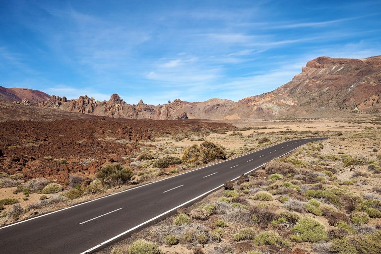
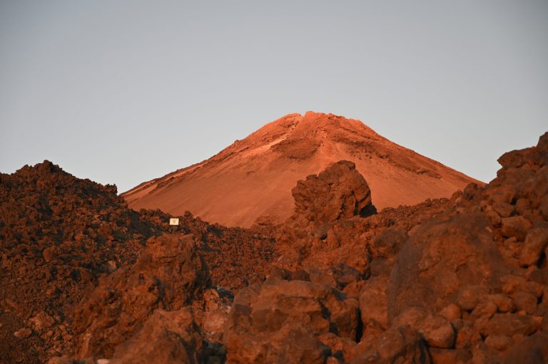
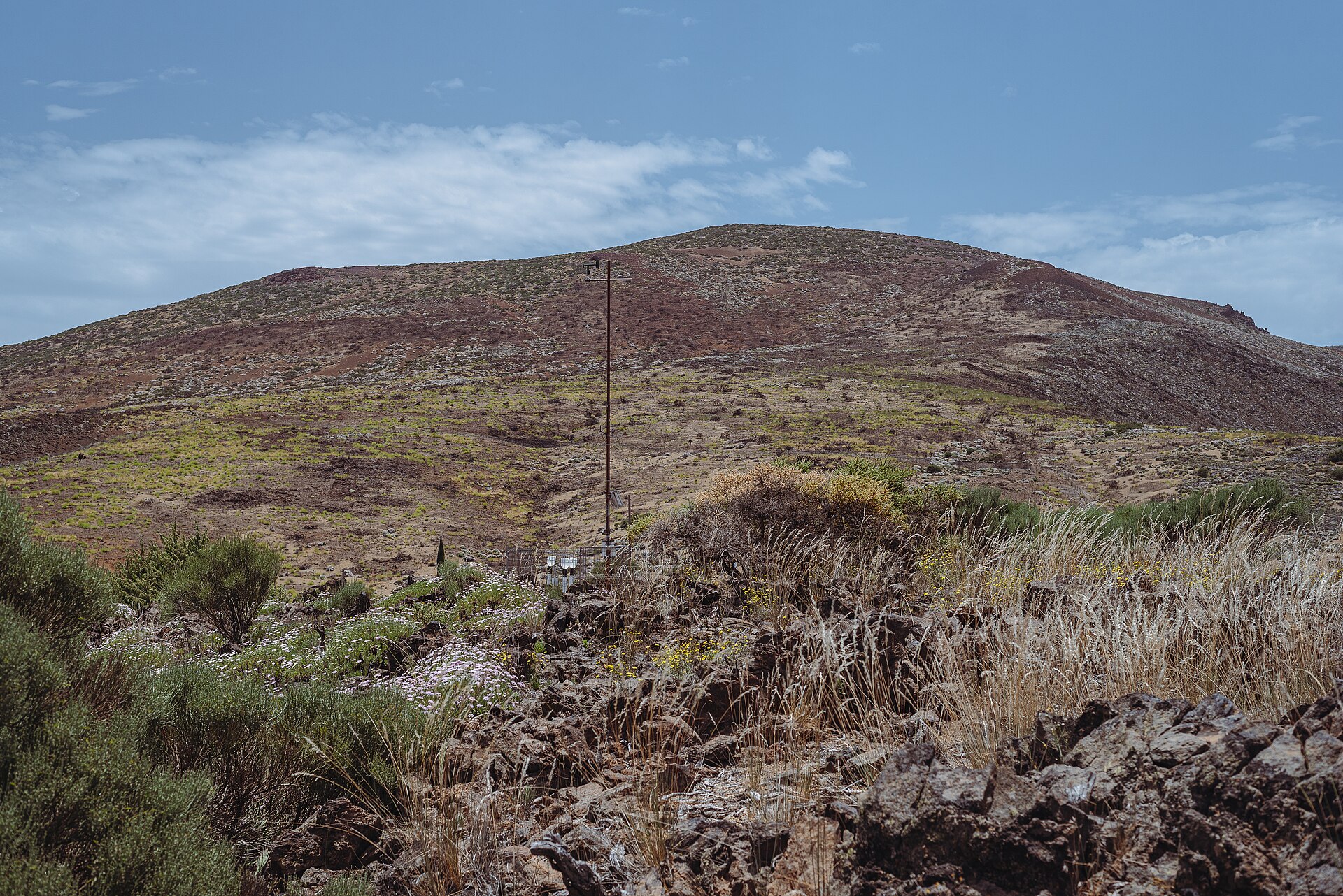
From the visitor centre, the loop climbs around Montaña del Cerrillar, among Teide white broom rooted in the pumice. At the top the view is panoramic over the park and the Llano de Maja plain. It is also a good spot to watch the sea of clouds that the trade winds build over the Orotava Valley. On a clear day you can see the island of La Palma and the Izaña observatories.
The descent runs along the caldera wall near the Arenas Negras volcanoes, cinder cones with sparse vegetation. Caution is recommended on this stretch, where the slope reaches 60% in places. The path then joins the PNT 04 trail (Siete Cañadas), which takes you back to the visitor centre. The highest point is 2,297 m around kilometre 3.6 and the lowest is 2,046 m around kilometre 7.9.
Before you go
- Steep descent: the loop is rated easy, but the descent near the Arenas Negras volcanoes is very steep. Wear shoes with good grip, and poles can help.
- Altitude: you are walking between 2,046 and 2,297 m. Bring a warm layer, a windproof jacket, sun cream and water (there is no water point on the route).
- At the start: the El Portillo Botanical Garden, about 4 hectares inside the park, showcases the local flora.
- Park rules: stay on the marked trails and read the new Teide hiking rules.
For gear, see our guide to mandatory hiking gear in Tenerife.
Frequently asked questions
How long does the Arenas Negras loop take?
The announced time is 3 h for the 8.05 km. That is walking time only, so allow more for breaks.
Do I need a permit or a reservation?
No, free access with no reservation.
Can I get there by bus?
Yes, with buses 348 and 342, stop “Centro de Visitantes”. Check the TITSA timetable before you go.
What is the difference with Arenas Negras at Garachico?
They are two different trails. This one is in Teide National Park, around 2,000 m. The other, further west, circles the 1706 volcano in pine forest at around 1,300 m.
Keep exploring
You are in the national park: read our Teide National Park guide and our Teide cable car guide.
More hikes in this series: Roques de García, Siete Cañadas, Arenas Negras (Garachico), Vilaflor and the Lunar Landscape, Camino del Risco, Masca Gorge, Montaña Blanca (Teide), Anaga Lighthouse and Chamorga, Cruz del Carmen to Punta del Hidalgo, Afur and Taganana.
Data checked on 27 October 2026. Trails can be closed or changed: always check official information before you set off.