


Siete Cañadas: the great Teide crossing on foot (map, profile and tips)
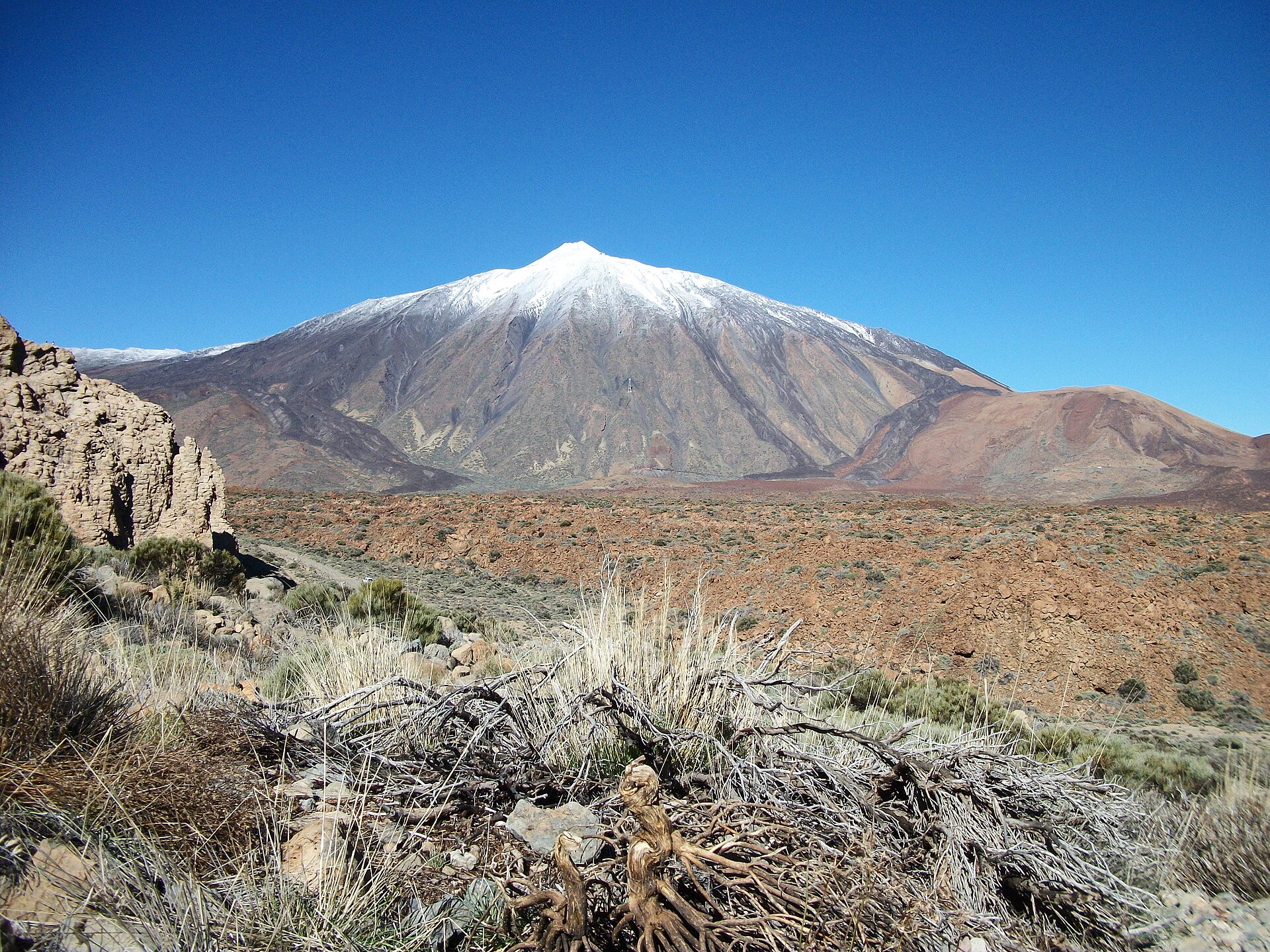
The Siete Cañadas trail follows the old Camino Real de Chasna, which once linked the north and south of the island. It crosses Teide National Park for 16.39 km, from the El Portillo Visitor Centre to the Parador de Las Cañadas del Teide, on a dirt track that rises and falls without ever getting very steep.
We haven’t walked this crossing ourselves yet: we give you what you need to set off without getting lost, and we’ll add our own experience later.
Siete Cañadas: the hike at a glance
- 16.39kmDistance
- 4 h 30Estimated time
- +412mElevation gain
- −319mElevation loss
- 2,212mHighest point
- 2,045mLowest point
- One wayRoute type
- ModerateDifficulty
So you don’t get lost
- Start
- El Portillo Visitor Centre, on the TF-21 at km 32.1. GPS: 28.30390 / -16.56635. Google Maps directions · OpenStreetMap
- Finish
- Parador Nacional de Turismo Las Cañadas del Teide, on the TF-21 at km 46. GPS: 28.22379 / -16.62720.
- Transport
- Buses 348 and 342 serve both ends (stops “Centro de Visitantes” no. 5243 and “Parador del Teide” no. 7684, TITSA). Car parks at the visitor centre and at the Parador.
- Waymarking
- Dark green posts and signs showing the code PNT-04. Once on the dirt track, you follow it all the way.
- Access
- Free, no reservation needed.
- Warning
- You have to cross the main road at the start: take great care.
The route step by step
The start is right opposite the El Portillo Visitor Centre. After crossing the road carefully, you take a dirt track and follow it for the whole route. The path climbs and descends a little, with no steep sections.
The lowest point is 2,045 m around kilometre 5.9 and the highest is 2,212 m around kilometre 14.3, followed by a gentle descent to the Parador (2,147 m). Along the way you cross seven cañadas, the plains and depressions of the park: Diego Hernández, las Pilas, la Angostura, la Grieta, Montón de Trigo, la Mareta and el Capricho.
Before you go
- Logistics: the route is one way. There are bus stops at both ends (lines 348 and 342), so check the timetable on the TITSA website before you go. Otherwise, plan two vehicles.
- Distance and altitude: 16 km between 2,045 and 2,212 m, in very open terrain. Bring plenty of water (there is no water point on the route), sun cream and a windproof layer.
- Difficulty: rated moderate, mainly because of the length. The elevation change stays gentle.
- Park rules: stay on the marked trails and read the new Teide hiking rules.
For gear, see our guide to mandatory hiking gear in Tenerife.
Frequently asked questions
How long does the Siete Cañadas trail take?
The announced time is 4 h 30 for the 16.39 km. That is walking time only: allow more with breaks and photos.
Do I need a permit or a reservation?
No, free access for all visitors, with no reservation.
Can I do it without a car?
In principle yes: buses 348 and 342 serve the start and the finish. Check the TITSA timetables, which can change.
Which direction should I walk?
This page describes the direction from El Portillo to the Parador. The elevation gain is 412 m in that direction and the loss is 319 m.
Keep exploring
You are in the national park: read our Teide National Park guide, our Teide cable car guide or our guide to the sunrise at the summit.
More hikes in this series: Roques de García, Arenas Negras (Teide), Arenas Negras (Garachico), Vilaflor and the Lunar Landscape, Camino del Risco, Masca Gorge, Montaña Blanca (Teide), Anaga Lighthouse and Chamorga, Cruz del Carmen to Punta del Hidalgo, Afur and Taganana.
Data checked on 27 October 2026. Trails can be closed or changed: always check official information before you set off.