


Cruz del Carmen to Punta del Hidalgo: the Anaga descent via Chinamada (map, profile and tips)
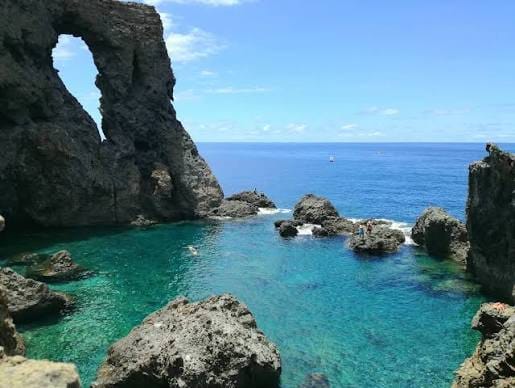
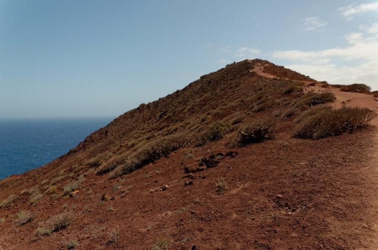
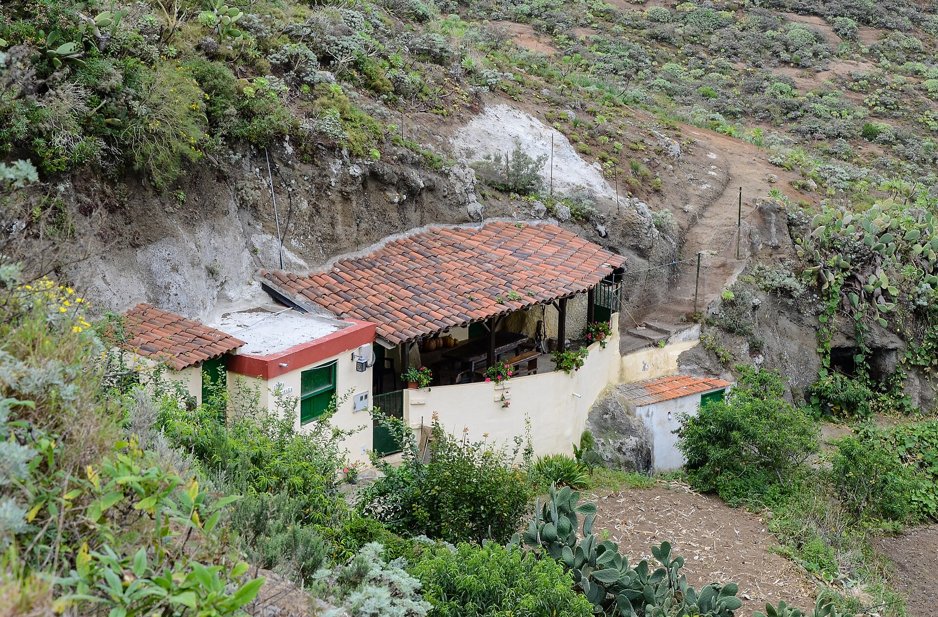
The PR TF 10 trail goes down from the summit to the coast and crosses every layer of vegetation in Anaga Rural Park. It starts at the Cruz del Carmen visitor centre, crosses the laurel forest to Chinamada, where you can see the famous cave houses, then follows a path carved into the rock, with great views over the north coast of the massif, all the way to Punta del Hidalgo. 9.88 km, 625 m of cumulative elevation gain and 1,503 m of loss.
We have not done this hike ourselves yet: we give you what you need to set off without getting lost, and we will add our own experience later.
Cruz del Carmen to Punta del Hidalgo: the fact sheet at a glance
- 9.88kmDistance
- 4 h 30Estimated time
- +625mElevation gain
- −1,503mElevation loss
- 950mHighest point
- 5mLowest point
- DescentRoute type
- MediumDifficulty
So you don’t get lost
- Start
- Cruz del Carmen viewpoint, TF-12 road at km 22.5. GPS: 28.53145 / -16.27996. Google Maps directions · OpenStreetMap. Parking near the viewpoint.
- Finish
- Punta del Hidalgo, at the end of the TF-13 road. GPS: 28.57136 / -16.31806. Limited parking in the village.
- Landmarks
- On the official track: Chinamada at km 5.3 (587 m altitude), Punta del Hidalgo at km 9.9 (71 m).
- Transport
- Start: TITSA buses 76, 77, 273 and 275, stop “Cruz del Carmen” (no. 2232). Finish: buses 50, 105 and 224, stop “Punta del Hidalgo” (no. 1327).
- Signage
- Posts and signs with the code PR-TF 10, yellow and white marks.
- Access
- Free, with no authorisation or booking (temporary measure until 31 December 2026).
- Variant
- There is also PR TF 10.1 Degollada Las Escaleras, Las Carboneras and Chinamada.
- Warning
- Steep descent on the last section before Punta del Hidalgo: take great care, especially if the ground is wet. Call 112 in an emergency.
The route step by step
The trail starts at the Cruz del Carmen viewpoint, at 950 m, and first goes down through the laurel forest: about 854 m at kilometre 1, 793 m at kilometre 2 and 663 m at kilometre 3. The descent eases off before Chinamada, with about 682 m at kilometre 4 and 618 m at kilometre 5.
At kilometre 5.3, at 587 m altitude, you reach Chinamada and its cave houses. It is roughly the halfway point.
Then the trail follows a path carved into the rock, with fine views over the north coast, and drops steeply: about 528 m at kilometre 6, 349 m at kilometre 7, 182 m at kilometre 8 and 37 m at kilometre 9. That is over 500 m of descent between Chinamada and the coast.
The track touches sea level around kilometre 9.3 (5 m) and then climbs slightly to the finish at Punta del Hidalgo, at kilometre 9.9, at 71 m altitude.
Before you go
- Logistics: the track is linear. Buses at the start (76, 77, 273, 275) and the finish (50, 105, 224): check TITSA timetables, or plan two vehicles.
- Steep descent: the last part drops hard. Good shoes and poles can help your knees.
- Time: 4 h 30 announced, without breaks.
- Water: there is no water point on the way, so carry what you need.
- Rules: Anaga Rural Park, stay on marked paths and do not enter private property.
Gear: we put the essentials together in our hiking gear checklist for Tenerife.
Frequently asked questions
How long does the Cruz del Carmen to Punta del Hidalgo hike take?
The announced time is 4 h 30 for the 9.88 km. It is an indicative walking time: allow more with breaks and photos.
Is it difficult?
It is rated medium difficulty, with a very steep last descent that needs attention.
Do you need to book?
Access is free, with no authorisation or booking (temporary measure until 31 December 2026). Check the rules when you set off.
How do you get back to the start?
There is no loop. Bus 50, 105 or 224 leaves from Punta del Hidalgo (stop no. 1327), but check timetables and connections on the TITSA website.
Where can you see the cave houses?
At Chinamada, at kilometre 5.3 of the track, roughly halfway.
Keep exploring
For what comes next, read our guide to Anaga Rural Park and our Bosque Encantado hike. At the end of the trail, Punta del Hidalgo has its lighthouse (see our French article “phare de Punta del Hidalgo”).
More hikes in this series: Roques de García, Siete Cañadas, Arenas Negras (Teide), Arenas Negras (Garachico), Vilaflor and the Lunar Landscape, Camino del Risco, Masca Gorge, Montaña Blanca (Teide), Anaga Lighthouse and Chamorga, Afur and Taganana.
Data checked on 27 October 2026. Trails can be closed or changed: always check official information before you set off.