


Anaga Rural Park in Tenerife: Ancient Forest, Hidden Villages and Sea of Clouds
In the north-east of Tenerife, only a few kilometres from Santa Cruz and La Laguna, the Anaga massif is a world apart. Between 7 and 9 million years old, it is one of the oldest landforms on the island, carved by steep ridges and deep ravines, covered in an ancient laurel forest and wrapped in cloud for much of the year.
Classified as a UNESCO biosphere reserve, Anaga Rural Park can be explored on foot, by car or from its viewpoints. Here is everything you need to know to explore this primeval forest, its hamlets clinging to the mountain and its views over the sea of clouds.
🎯 The essentials
📍 Location: north-east Tenerife, between La Laguna and the north coast (Taganana, Punta del Hidalgo, Chamorga)
🌳 Status: rural park of about 14,500 hectares, classified as a UNESCO biosphere reserve in 2015
🚗 Getting there: TF-12 road then TF-134 from La Laguna or Santa Cruz, or TITSA bus
🥾 What to do: viewpoints, waymarked hiking trails, mountain villages
🎫 Entry: free (some protected trails require a permit from the Cabildo)
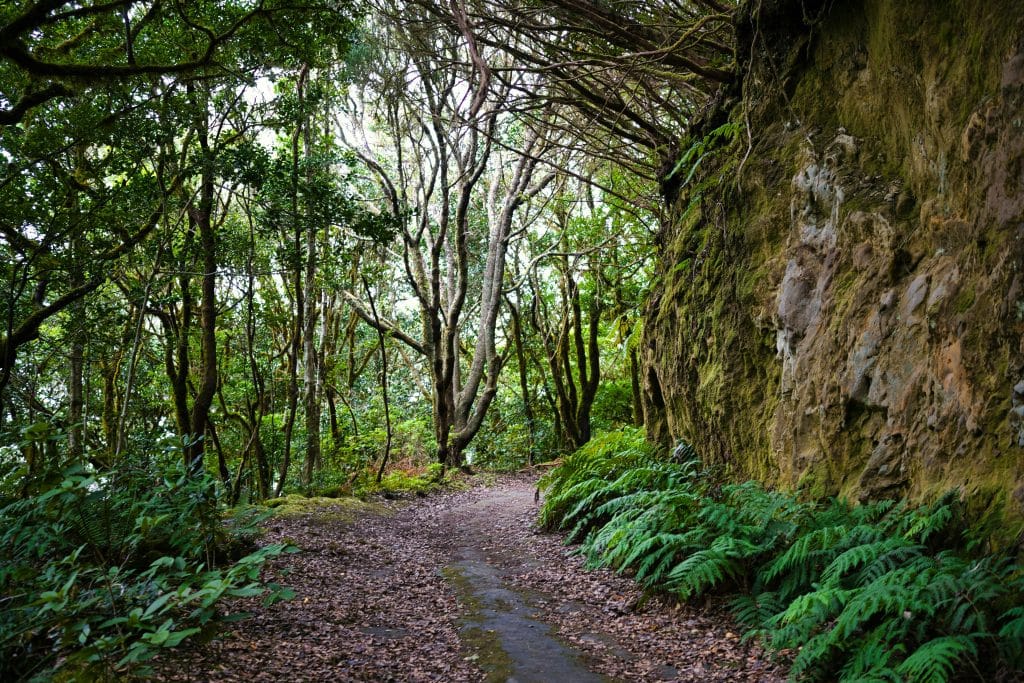
Anaga, a world apart in north-east Tenerife
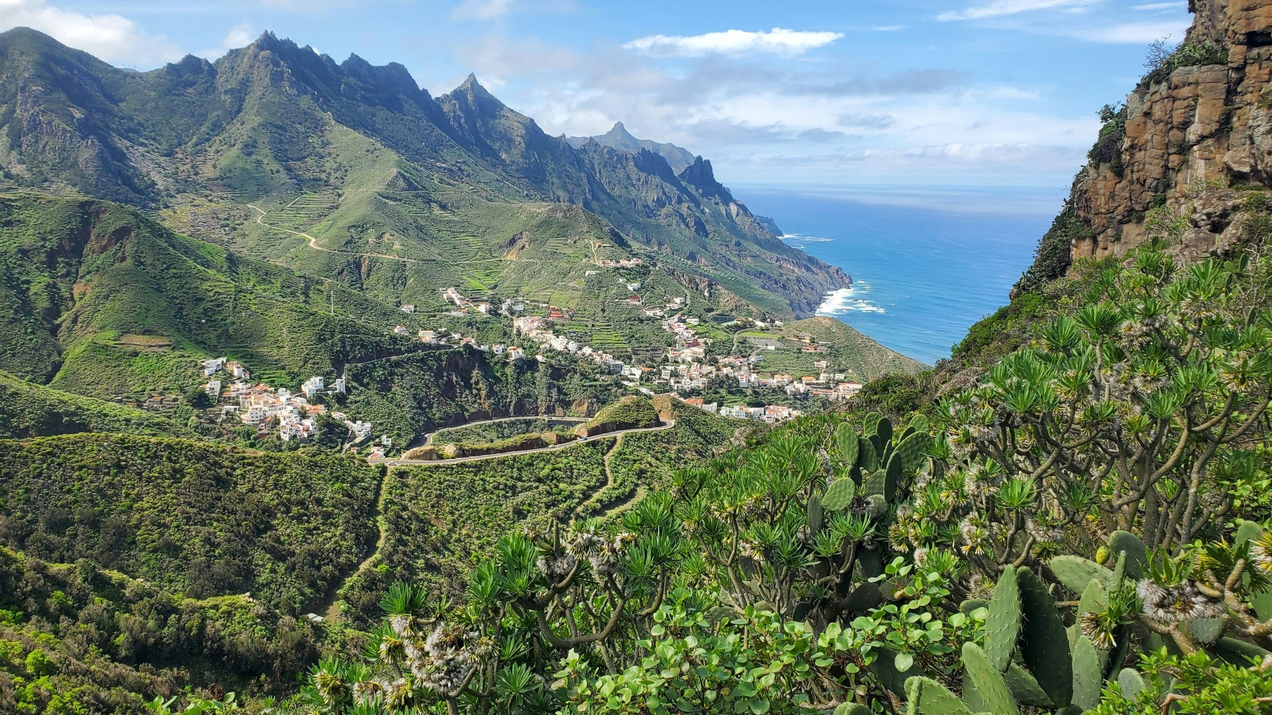
The Anaga massif occupies the whole north-eastern tip of Tenerife, between the urban areas of Santa Cruz and La Laguna and the Atlantic Ocean. At 7 to 9 million years old, it is one of the oldest landforms on the island, born of volcanic activity long before the activity that shaped Teide. The highest point, Cruz de Taborno, rises to 1,024 metres, in the middle of a tangle of ridges, deep ravines and cliffs that drop straight into the ocean.
Anaga’s rugged terrain isolated the region from the rest of the island for a long time. That isolation allowed a primeval forest to survive almost intact, and mountain villages to keep a way of life that stayed away from mass tourism for a long time.
The laurisilva, a forest millions of years old
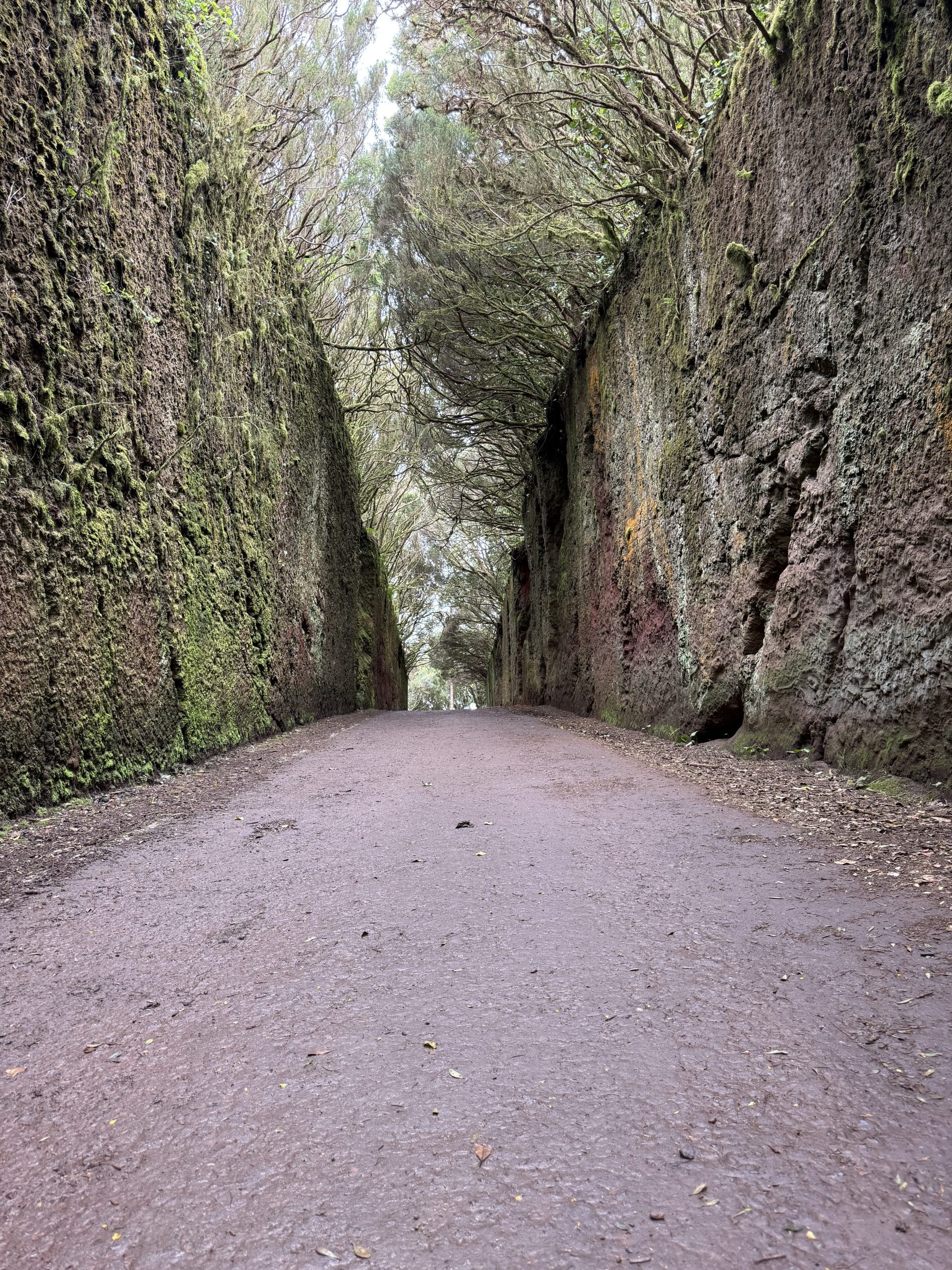
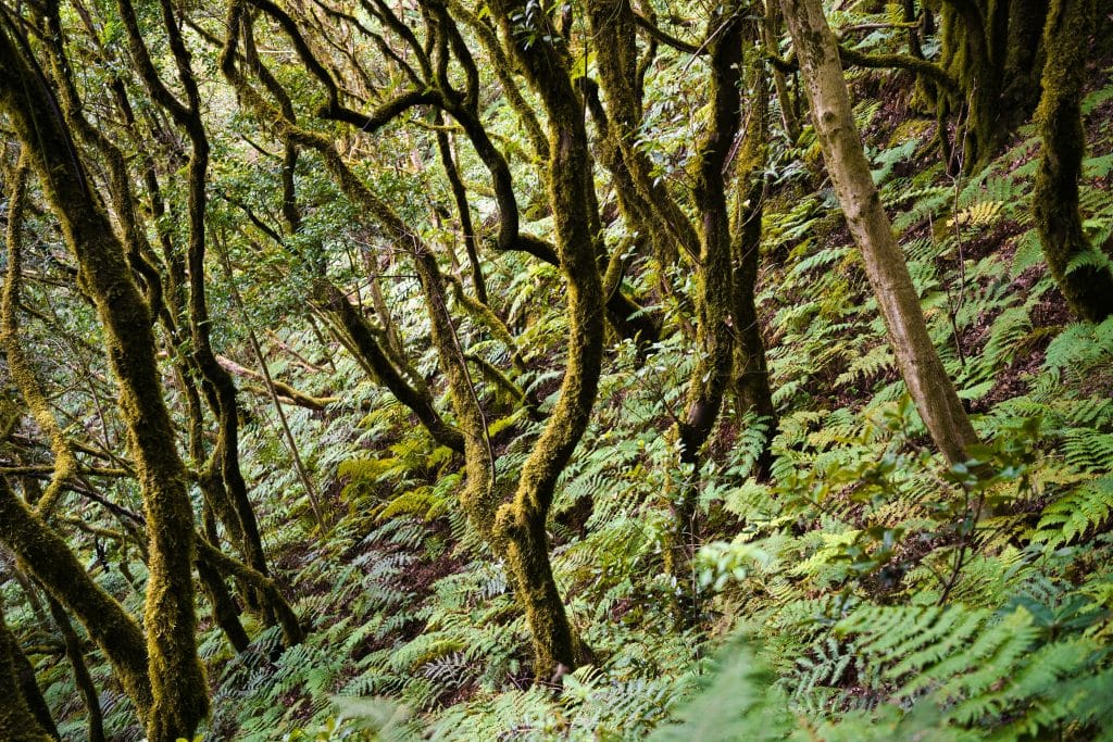
The forest covering the heights of Anaga, called laurisilva (laurel forest), is a relic of the forests that covered the Mediterranean basin several tens of millions of years ago, before the great ice ages. It has disappeared almost everywhere else, but survived in the Canary Islands, Madeira and the Azores thanks to a climate that stayed humid enough.
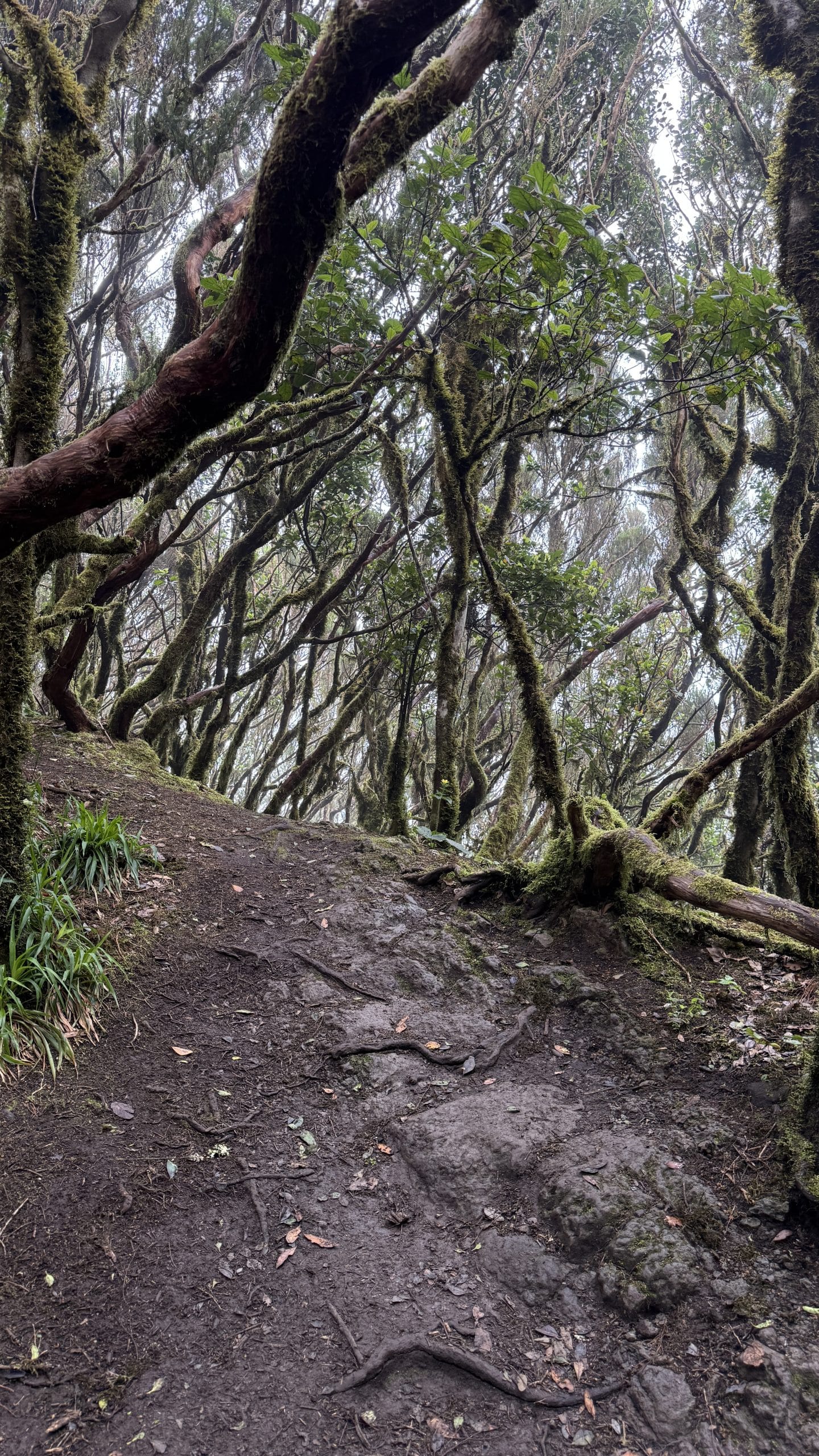
Under the dense foliage of laurels, tree heathers and giant ferns, the twisted, moss-covered trunks create an almost unreal setting. The constant humidity, the smell of earth and undergrowth, the silence broken by the song of endemic pigeons: everything here is a reminder that this is an ecosystem unique in the world, found nowhere else in Europe in this form.
A biosphere reserve protected by UNESCO
In recognition of its ecological richness, Anaga Rural Park was classified as a UNESCO biosphere reserve in 2015. The park covers about 14,500 hectares of forests, terraced fields and traditional villages, an ensemble considered exceptional enough to justify strict protection of its natural habitats.
Entry to the park remains free, but some trails, judged fragile or dangerous, require prior permission from the Cabildo of Tenerife. It is best to find out before you go if you plan a hike outside the most popular waymarked routes.
Cruz del Carmen and Pico del Inglés, the unmissable viewpoints
The Cruz del Carmen viewpoint, easily reached by car from La Laguna, is the most practical gateway to the park. There is a visitor centre, a restaurant and the starting point of several waymarked trails through the laurisilva.
To walk in Anaga with a map and an elevation profile, see our fact sheets: Cruz del Carmen to Punta del Hidalgo, El Draguillo, Chamorga and the Anaga Lighthouse and Afur and Taganana.
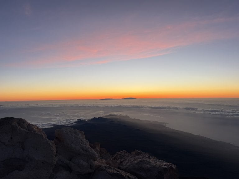
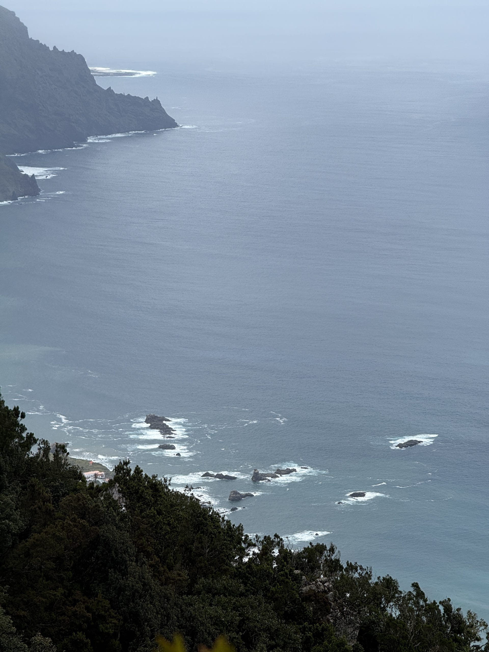
A little further on, the Pico del Inglés viewpoint offers one of the most spectacular panoramas on the island over the massif and, in trade wind conditions, over the famous mar de nubes, the sea of clouds. This phenomenon occurs when the prevailing winds push moisture from the ocean against the northern slopes of Anaga, where it condenses into an ocean of clouds that seems to wash up against the ridges, leaving the summits emerging above it in a clear sky.
Chinamada, the cave-dwelling hamlet tucked into the mountain
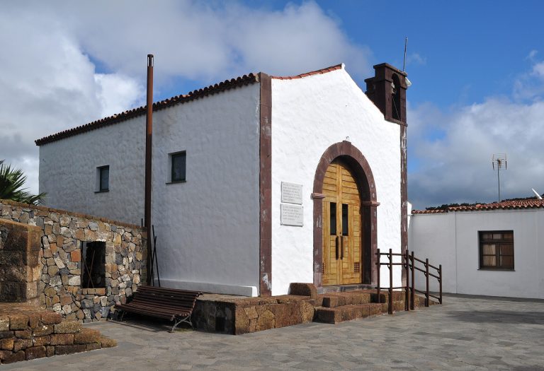
In Chinamada, a few houses are still dug straight into the volcanic rock, a cave-dwelling style typical of this part of the island. The hamlet can be reached by car as far as a small car park near a chapel, then on foot along a narrow path winding along the mountainside.
From the village, about ten minutes’ walk leads to the Aguaide viewpoint, a sort of natural balcony hanging above the ocean at around 500 metres up. On the spot, you can taste farm goat’s cheese and a little locally produced wine, in one of the rare restaurants set right into the rock.
Taganana and Benijo, between authentic villages and a black sand beach
On the northern side of the massif, the village of Taganana clings to the slope among terraced fields, with its white houses and its 16th-century church. The winding, spectacular road that leads there crosses the laurisilva before dropping back down to the coast.
Further on, Benijo beach and the neighbouring Roque de las Bodegas, with their black volcanic sand and rocks cut into the ocean, are among the most photographed spots in Tenerife, especially at sunset. The sea there is often rough and swimming calls for caution.
Hiking in Anaga: some possible routes
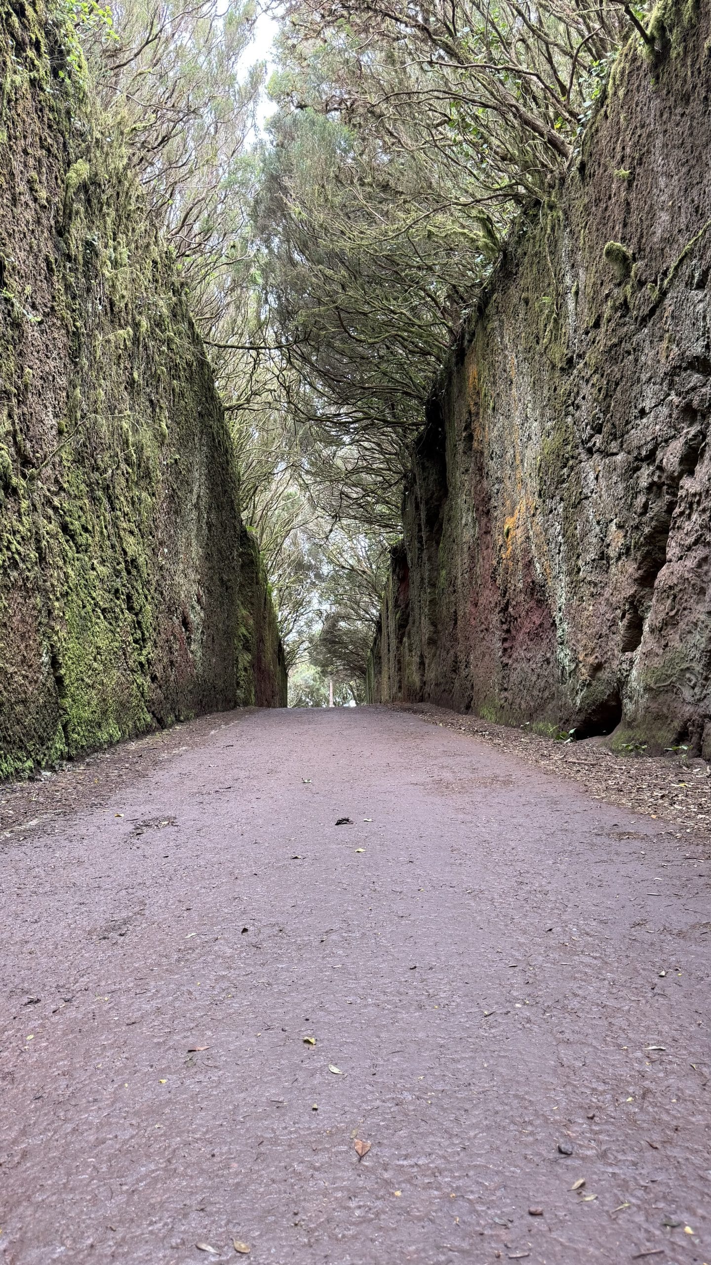
Anaga Park has a vast network of waymarked trails, from a few minutes to several hours of walking. The Bosque Encantado (Enchanted Forest), one of the best-known hikes in the massif, lets you cross a particularly dense and humid section of the laurisilva on a maintained path.
Other routes link the villages through the forest, or go down to isolated beaches that can only be reached on foot, such as Playa de Antequera at the eastern end of the massif. Depending on your level and the time available, you can put together an outing of a few hours or a fuller crossing of the park.
How to plan your visit: access, duration and practical tips
Anaga is easy to visit in half a day from Santa Cruz or La Laguna, but a full day lets you combine viewpoints, a village and a short hike without rushing. By car, allow about thirty minutes from La Laguna to Cruz del Carmen, a convenient starting point for exploring the rest of the massif.
The mountain roads are narrow and winding, with little visibility in the bends: allow more time than you think and drive carefully, especially in fog. Bring suitable shoes, a warm layer even in summer (humidity and altitude lower the temperature), and water, as few shops are available once you are in the massif.
Read also: the Canteras de Tahodio hike (in French).
How long should you allow to visit Anaga?
Half a day is enough to see the main viewpoints and a village, but a full day lets you add a hike and enjoy the park without rushing.
Can you get around Anaga by car or do you have to walk?
The main viewpoints and villages, such as Cruz del Carmen or Taganana, can be reached by car. Some hamlets such as Chinamada, or isolated beaches such as Playa de Antequera, do require a walk.
Can you swim in Anaga?
A few beaches such as Benijo or Antequera allow it, but the sea is often rough on this northern side exposed to the ocean. It is best to check the conditions of the day before swimming.
What is the best time to see the sea of clouds?
The mar de nubes phenomenon occurs mostly when the trade winds blow steadily, which is common for much of the year. It is generally most visible in late morning or early afternoon, from viewpoints such as Pico del Inglés.