


Montaña Blanca to La Rambleta: the PNT 07 trail towards Teide (map, profile and tips)
The PNT 07 trail is the old walking route towards Teide. It starts at the Montaña Blanca viewpoint, on the TF-21 road, and climbs 8.29 km to La Rambleta, at 3,536 m, next to the La Fortaleza viewpoint and the upper cable car station. It is a high-mountain hike: nearly 1,200 m of net elevation in under 9 km, with slopes of over 60% in places.
We have done this climb and gone on to the summit, once at night for the sunrise and once in the late afternoon for the sunset: read our sunrise account and our sunset account.
Montaña Blanca to La Rambleta: the fact sheet at a glance
- 8.29kmDistance
- 5 h 55Estimated time
- +1,309mElevation gain
- −122mElevation loss
- 3,536mHighest point
- 2,348mLowest point
- One wayRoute type
- HighDifficulty
So you don’t get lost
- Start
- Montaña Blanca viewpoint, TF-21 road at km 40.2. GPS: 28.25940 / -16.60342. Google Maps directions · OpenStreetMap. Limited parking at the viewpoint.
- Finish
- La Fortaleza viewpoint, at La Rambleta, next to the upper cable car station. GPS: 28.27369 / -16.63889. Reachable on foot only, or from La Rambleta.
- Transport
- TITSA buses 348 and 342, stop “Montaña Blanca” (no. 7686). Check timetables before you go.
- Booking
- Compulsory in Tenerife ON, with prior registration. Places for the next 56 days are released every Monday at 7:00 am (Canary Islands time). The booking lets you walk the trail in either direction on the chosen day.
- Fees
- Time slots from 9:00 am to 5:00 pm. Weekdays: €0 for Tenerife residents, €3 for residents of the other islands, €6 for other visitors. Weekends and public holidays: €0, €5 and €10. Refund only if the trail or the cable car closes, or if you cancel at least 3 days ahead.
- Check-in
- Your chosen slot is the time to validate your booking at the checkpoint (TF-21 road, km 40.7). Show your booking and your ID or passport.
- Gear
- Suitable mountain footwear, long trousers, warm clothing, a thermal blanket, hat and gloves, water, a charged phone, a head torch or torch, even in summer. Without them, access is refused.
- Signage
- Dark green posts and waymarkers with the code PNT-07.
- Warning
- High-mountain trail, not recommended if you have heart, breathing or mobility problems. Conditions at the summit can be extreme: check the AEMET high-mountain forecast.
The route step by step
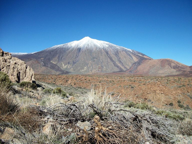
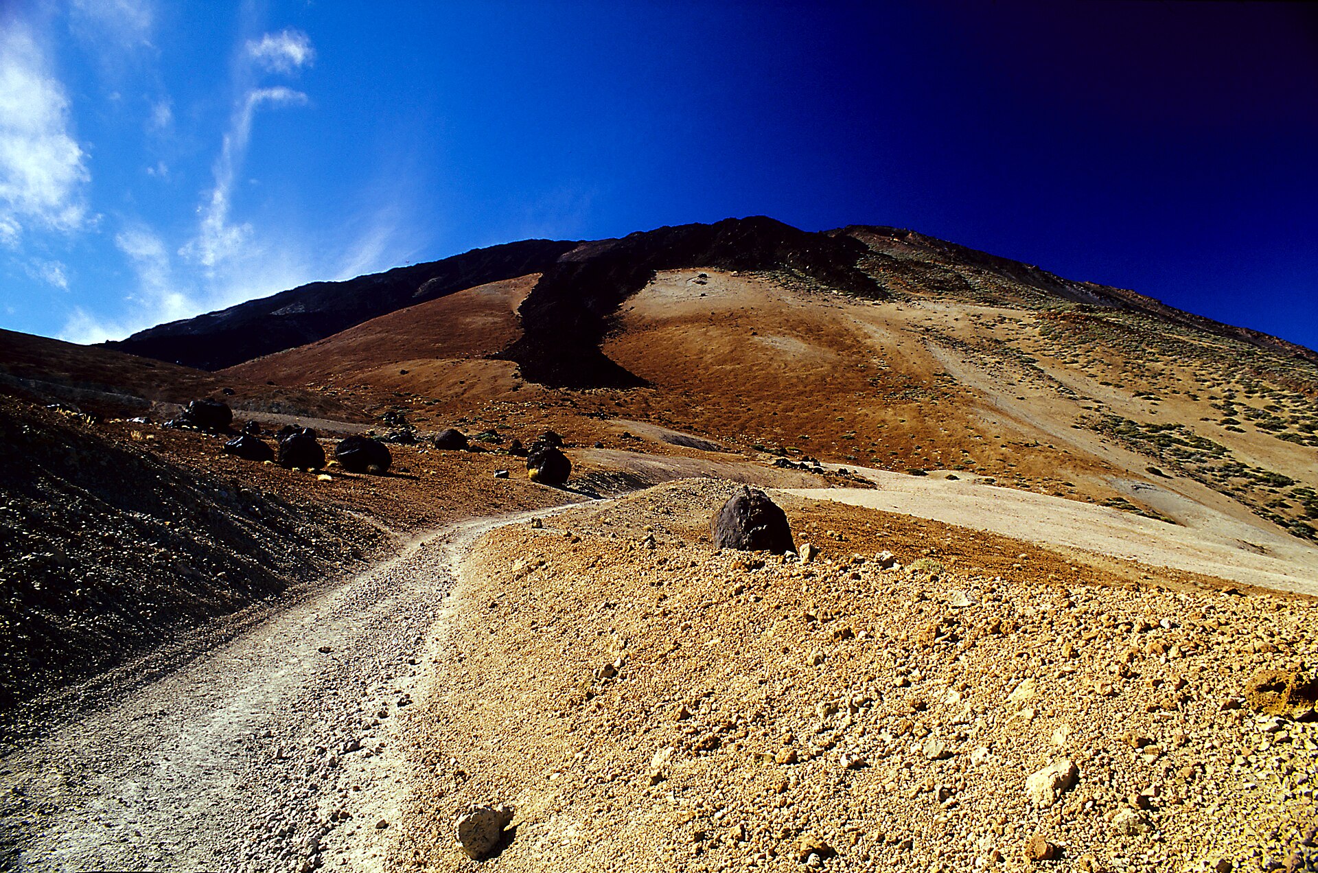
The start is at the Montaña Blanca viewpoint, at 2,348 m. The trail first follows the Montaña Blanca track, an example of an explosive eruption that threw out pumice. The altitude rises steadily: about 2,428 m at kilometre 1, 2,493 m at kilometre 2, 2,578 m at kilometre 3 and 2,670 m at kilometre 4.
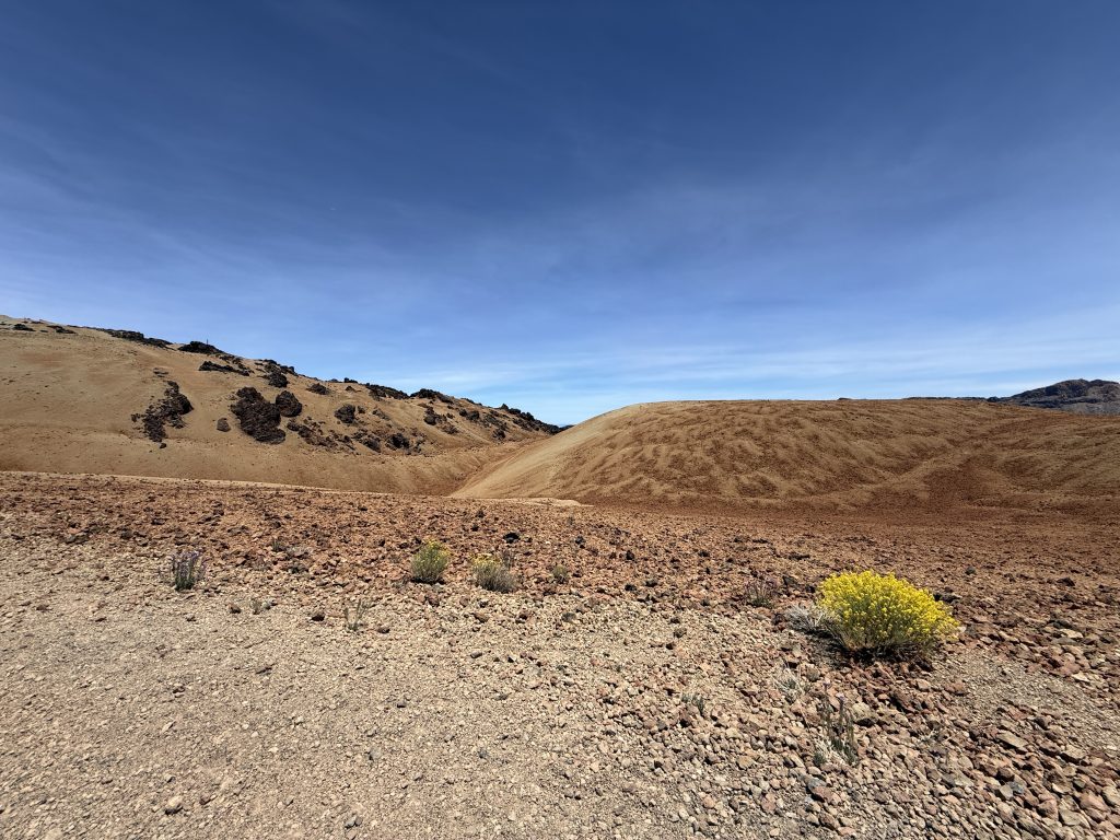
The old summit path begins when you reach the slopes of Teide. It climbs steeply, with slopes of over 60% in places, via Lomo Tieso to the Altavista refuge. On the profile you are at about 2,799 m at kilometre 5, 3,037 m at kilometre 6, and you reach the Altavista refuge around kilometre 7.1, at about 3,270 m.
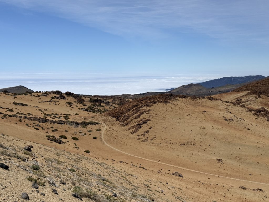
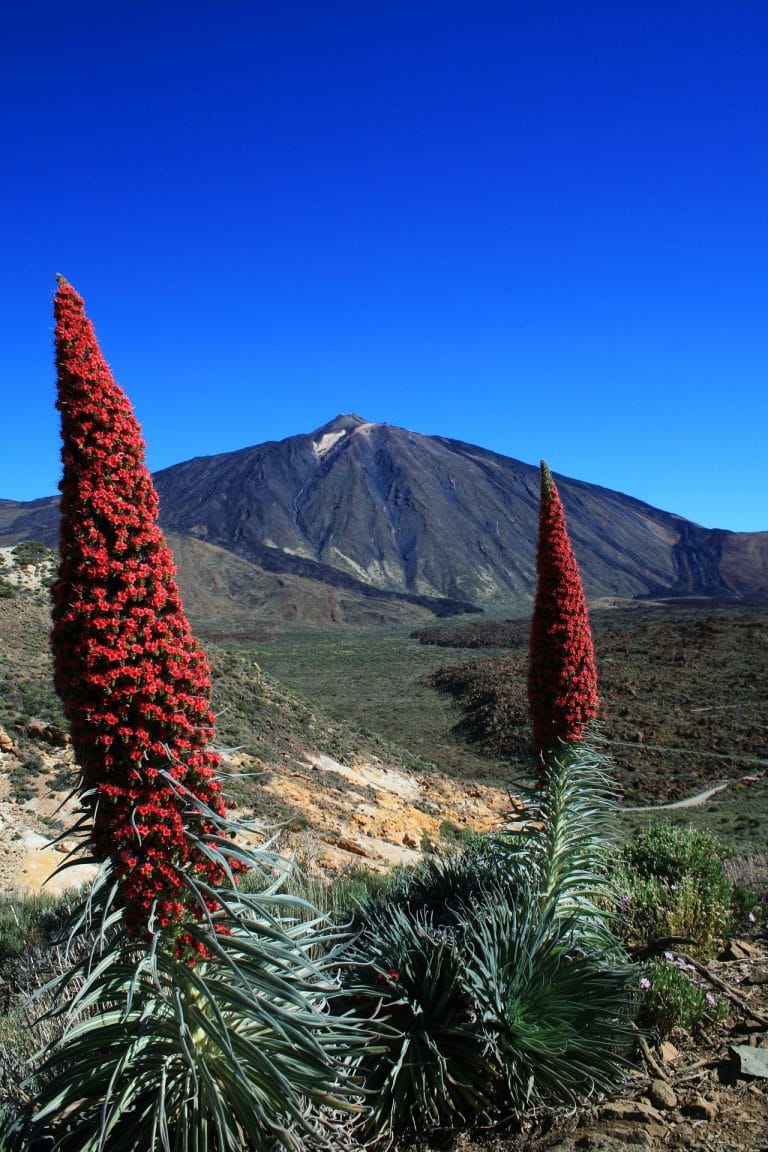
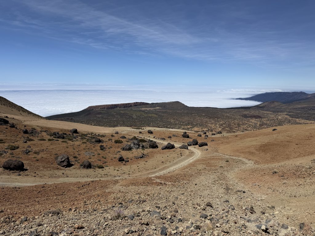
After Altavista the trail keeps climbing, a little less steeply, over recent lava flows that vegetation has not yet colonised. On the way you will see the “huevos del Teide”, big blocks of magma thrown out by the volcano that rolled down to the foot of the mountain. Part of the climb is accompanied by Teide white broom (retama) and, around 3,400 m, vegetation almost disappears.
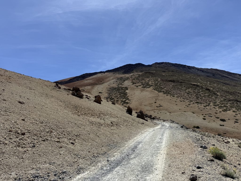
The last kilometres are the hardest: about 3,254 m at kilometre 7, 3,497 m at kilometre 8 and the arrival at La Rambleta, at 3,536 m, at kilometre 8.3. The steepness and the altitude make the climb very tiring.
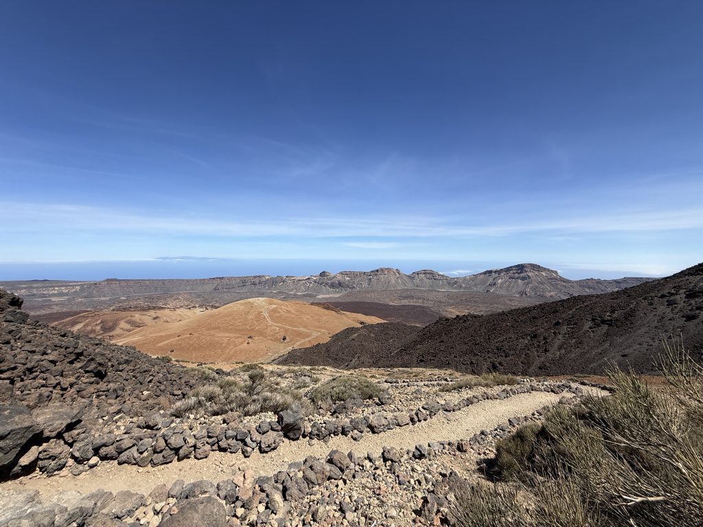
The trail ends at La Rambleta. The crater is higher up: the last part goes through the PNT 10 Telesforo Bravo trail, which needs an additional authorisation. The first section of PNT 07 is also used to join the PNT 27, PNT 06 and PNT 22 trails.
Before you go
- Booking: compulsory, and to be made in advance in Tenerife ON. Keep it on your phone or printed, with your ID or passport, for the check.
- Compulsory gear: suitable mountain footwear, long trousers (worn or in your bag), fleece or warm clothing, thermal blanket, hat and gloves (especially in winter), water, charged phone, head torch or torch, even in summer.
- Snow and ice: when ice or snow is reported, you must accept a responsibility declaration and add crampons and an ice axe to your gear.
- Health: high-mountain trail, not recommended with heart, breathing or mobility problems. Altitude and temperature swings can cause extreme tiredness and dizziness.
- Not allowed: children under 3, under-16s without an adult, pets (except guide dogs), smoking or vaping in the Park, litter, amplified sound.
- Weather: check the AEMET high-mountain forecast, because the weather at the top can differ a lot from the municipal forecast.
For the details of the gear, read our guide to mandatory hiking gear in Tenerife and our hiking gear checklist.
Frequently asked questions
Do you need a booking for Montaña Blanca?
Yes. Prior authorisation is needed, requested in Tenerife ON, and walking the trail without a booking can be penalised.
How much does the booking cost?
For slots from 9 am to 5 pm: on weekdays €0 for Tenerife residents, €3 for residents of the other Canary Islands and €6 for other visitors; on weekends and public holidays €0, €5 and €10. Check the fees when you book, they can change.
Does this trail lead to the summit of Teide?
No. It stops at La Rambleta, at 3,536 m. The summit is reached by the PNT 10 Telesforo Bravo trail, which needs an additional authorisation.
When are places released?
Every Monday at 7:00 am, Canary Islands time, for the following 56 days.
Can you do the trail downhill?
Yes: the booking lets you walk the trail in either direction on the chosen day.
Can you get there by bus?
Yes, with TITSA buses 348 and 342, stop “Montaña Blanca” (no. 7686). Parking is limited at the viewpoint.
Looking for a wilder alternative? We also did the climb of Teide via Pico Viejo (PNT 09 + PNT 10): more technical and more demanding than Montaña Blanca, with volcanic landscapes from the first minutes.
Keep exploring
Planning a day in the National Park? Read our guide to Teide National Park, the one on the Teide cable car, and to go all the way up, our summit permit guide, the sunrise account and the sunset account. For snow, also see our article on snow on Teide.
More hikes in this series: Roques de García, Siete Cañadas, Arenas Negras (Teide), Arenas Negras (Garachico), Vilaflor and the Lunar Landscape, Camino del Risco, Masca Gorge, Anaga Lighthouse and Chamorga, Cruz del Carmen to Punta del Hidalgo, Afur and Taganana.
Data checked on 27 October 2026. The booking conditions for this trail change from 6 December 2026: always check official information before you set off.