


Masca Gorge: the descent to the sea (map, profile and booking)
The Masca Gorge is one of the best-known hikes in Tenerife, and today one of the most tightly regulated. The trail drops 4.81 km from the hamlet of Masca to the cove of the same name, between high volcanic walls, in Teno Rural Park. Access is controlled: booking is compulsory, you must take the public bus from Santiago del Teide, and you need a boat ticket for the way back.
The access rules come from the official booking website. We have not done this descent ourselves yet: we give you what you need to prepare your day without nasty surprises, and we will add our own experience later.
Masca Gorge: the fact sheet at a glance
- 4.81kmDistance
- 4 h 00Estimated time
- +939mElevation gain
- −1,557mElevation loss
- 620mHighest point
- 2mLowest point
- DescentRoute type
- HighDifficulty
So you don’t get lost
- Start
- Masca hamlet, Teno Rural Park, on the TF-436 road. The access check is at the Masca visitor centre, which you must reach 30 minutes before your slot. GPS: 28.30579 / -16.84036. Google Maps directions · OpenStreetMap
- Finish
- Masca cove, reachable on foot only. GPS: 28.28902 / -16.86233. The beach itself is closed to the public: you leave by boat from the jetty.
- Transport
- The public TITSA bus line 355 from Santiago del Teide to Masca is compulsory (about 20 minutes). Be at the Santiago del Teide stop at least 1 hour before your slot. If you come by car, park at the Santiago del Teide cemetery car park, about 10 minutes’ walk from the stop. Reaching Masca by any other vehicle is not allowed if you want to do the trail.
- Way back
- Boat from Masca cove to the port of Los Gigantes, to be booked with the partner companies no later than 4 hours after your descent slot. Then TITSA bus 325 or 462 from Los Gigantes to Santiago del Teide to get back to your car.
- Booking
- Compulsory, on the official Camino del Barranco de Masca website. Tickets are named and personal: bring ID. From €40.66 for the descent (boat ticket extra), with reduced rates and free entry for Tenerife residents on proof.
- Gear
- Closed mountain hiking footwear with a lugged sole (smooth trainers and sandals are refused), at least 1.5 litres of water per person (no water on the trail), snacks, a charged phone. A helmet is lent to you and must be returned at the end.
- Signage
- Teno Rural Park information signs, and emergency location signs along the trail.
- Warning
- High difficulty: uneven ground, steps, sloping sections with a risk of slipping. In an emergency, call 112 and give the number on the nearest location sign. Not allowed: children under 8, dogs, drones. Minors must be accompanied.
The route step by step
The trail starts in the hamlet of Masca, at 620 m, and goes down almost all the way to the sea. The profile gives about 407 m at kilometre 1, 297 m at kilometre 2, 172 m at kilometre 3 and 69 m at kilometre 4, before reaching sea level at the cove, at kilometre 4.81.
Don’t be put off by the positive elevation shown (+939 m): the official figures add up every small variation recorded along the track, and the trail also has small intermediate climbs. Between the start and the finish, the real difference in altitude is about 618 m of descent.
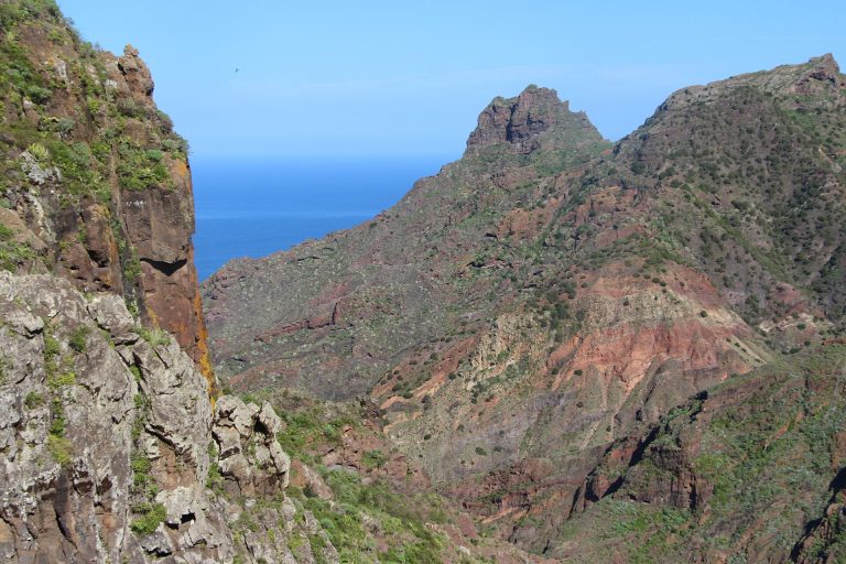
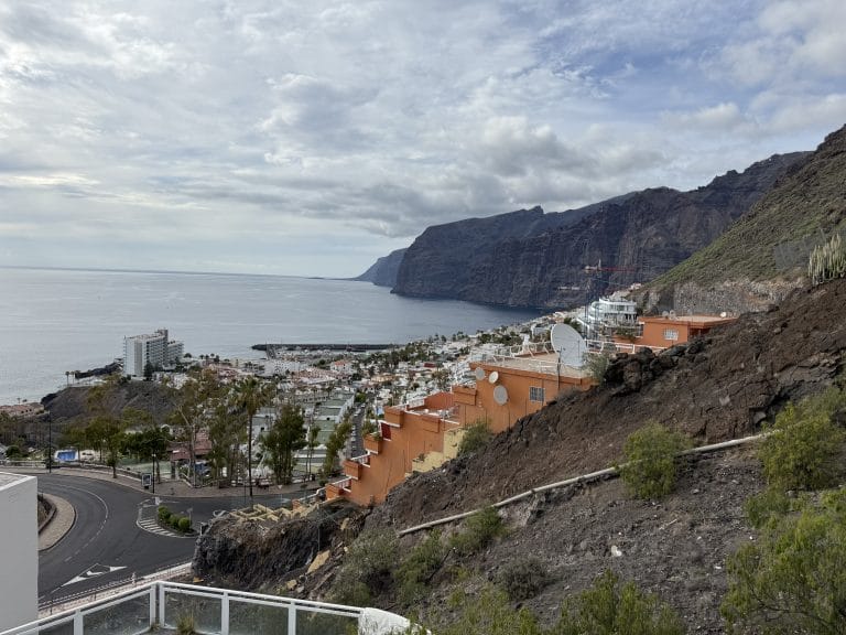
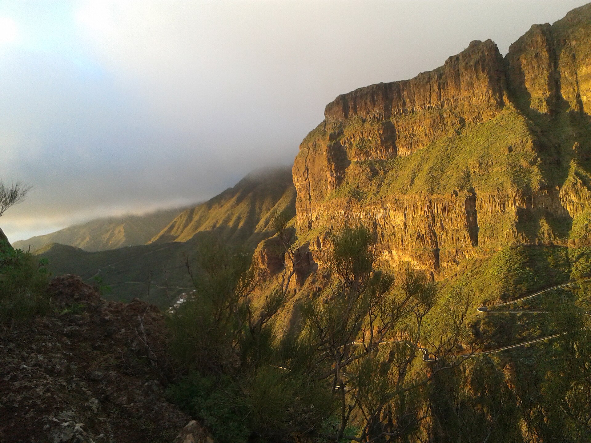
It is a descent through a deep, rugged ravine, between high volcanic walls, with narrow gorges and vegetation adapted to this steep landscape. It warns that the ground is uneven, with steps, ramps and narrow passages. Allow about 4 hours of walking for the descent.
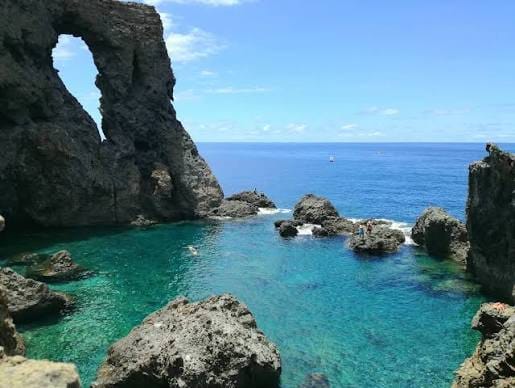
At the end you reach the jetty in Masca cove. Swimming in the watercourses is forbidden and the beach is closed to the public. If the sea gets rough, boat departures can close without notice: you would then have to walk back up to the Masca visitor centre from wherever you are, so keep some energy in reserve.
Before you go
- Booking: individual and named, with a descent slot between 8:30 am and 1 pm. Free changes or cancellation up to 72 hours before; within 72 hours only cancellation is possible, with no refund.
- Transport: bus 355 from Santiago del Teide to Masca, with proof of the trip required at the trail entrance. Check the timetables on the TITSA website.
- Check-in: be at the Masca visitor centre 30 minutes before your slot, with your ID, trail ticket, bus ticket and boat ticket.
- Fitness: the official site insists this is not a simple stroll. Good fitness is required and the trail is not accessible for people with reduced mobility.
- Weather and sea: if the trail or the jetty closes for weather or force majeure, your ticket is no longer valid and you can choose between changing the date or a refund.
- Site rules: stay on the marked route, no camping, no fires or smoking, no drones.
Gear is checked at the entrance here: without closed mountain footwear, you do not get in. For everything else, we put the essentials together in our hiking gear checklist for Tenerife.
Frequently asked questions
Do you need to book the Masca Gorge?
Yes. Access is regulated and goes through compulsory booking on the official Camino del Barranco de Masca website. You also need a bus ticket from Santiago del Teide and a boat ticket for the way back, otherwise access is refused.
How long does the descent take?
The announced time is 4 hours for the 4.81 km. Add the bus from Santiago del Teide (about 20 minutes, to be taken at least 1 hour before your slot), the check-in 30 minutes before your slot and the boat trip.
Can you walk back up?
On the official site, the only option offered today is the descent with a boat back, as part of a pilot phase. The direction on this page is the descent.
How do you get back to your car?
The boat drops you at the port of Los Gigantes, then TITSA buses 325 or 462 go to Santiago del Teide. If you left your car there, it is at the cemetery car park, about 10 minutes’ walk from the stop.
Can you swim at Masca?
No. Swimming in watercourses and natural pools is forbidden, and Masca beach is closed to the public.
Is there water on the trail?
No, there is no drinking water on the trail. The official site asks you to carry at least 1.5 litres per person.
Keep exploring
Before or after the descent, take time to discover the hamlet in our Masca guide and the massif in our Teno massif guide. For another hike in the massif, see the descent of the Camino del Risco.
More hikes in this series: Roques de García, Siete Cañadas, Arenas Negras (Teide), Arenas Negras (Garachico), Vilaflor and the Lunar Landscape, Camino del Risco, Montaña Blanca (Teide), Anaga Lighthouse and Chamorga, Cruz del Carmen to Punta del Hidalgo, Afur and Taganana.
Data checked on 27 October 2026. The access rules for the Masca Gorge are in a pilot phase and may change: always check official information before you set off.