


Roques de García: an easy loop at the foot of Teide (map, profile and tips)
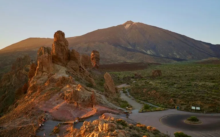
The Roques de García are the lava needles at the foot of Mount Teide that you see on every postcard of the island. The good news: the loop around them is only 3.47 km long, with about 200 m of elevation change, and it is rated low difficulty.
We haven’t hiked this loop ourselves yet, so we won’t pretend to have field anecdotes: we give you what you need to set off without getting lost, and we’ll add our own experience later.
Roques de García: the hike at a glance
- 3.47kmDistance
- 1 h 55Estimated time
- +202mElevation gain
- −202mElevation loss
- 2,184mHighest point
- 2,023mLowest point
- LoopRoute type
- EasyDifficulty
So you don’t get lost
- Start
- Mirador de la Ruleta, on the TF-21 road (km 46), in Teide National Park. GPS: 28.22529 / -16.63163. Google Maps directions · OpenStreetMap
- Finish
- Same point (loop).
- Transport
- Buses 348 and 342, stop “Parador del Teide” no. 7684 (TITSA). Car park on site, with spaces reserved for reduced mobility.
- Waymarking
- Dark green posts and signs showing the code PNT-03.
- Access
- Free, no reservation or permit needed for this trail.
- Check first
- The trail can be closed during mouflon control operations: check the park’s news before you set off.
The route step by step
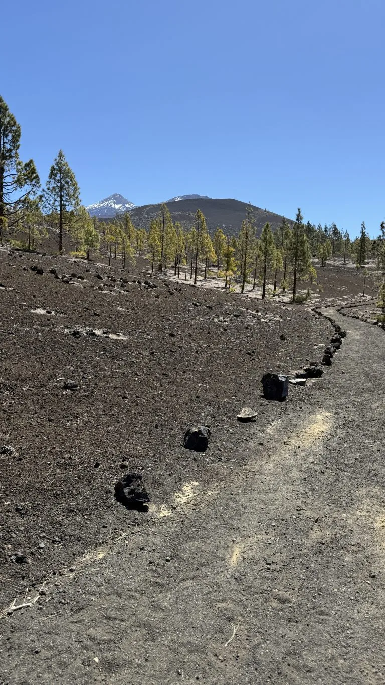
The hike starts at the Mirador de la Ruleta, beside the TF-21 road. The first few metres follow the accessible Roques de García trail, then the path carries on across flat ground past the famous rock formations, including Cinchado and Torrotito, as far as the Llano de Ucanca plain.
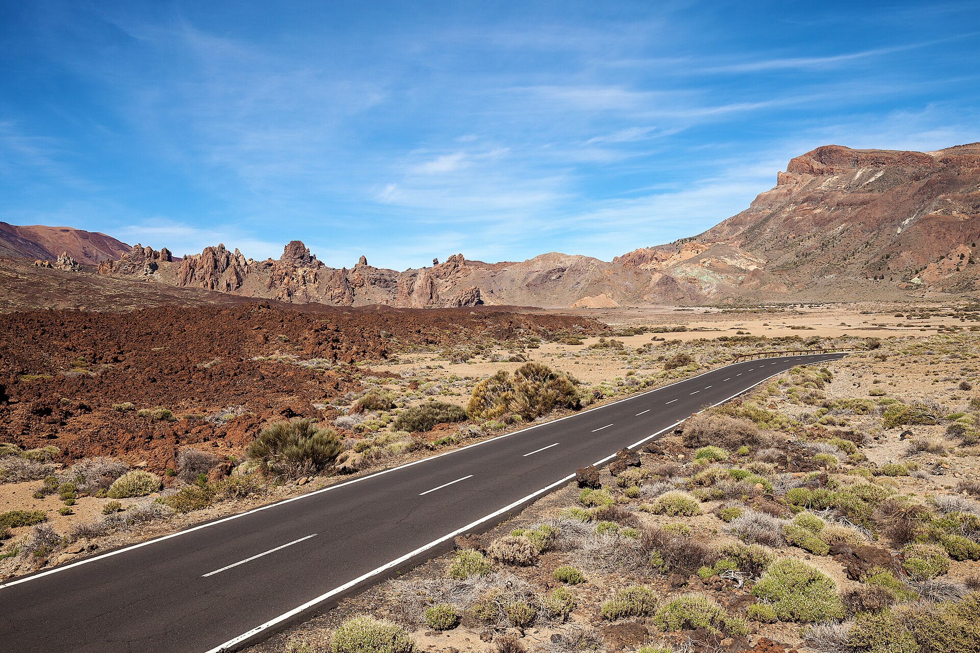
The loop first descends to its lowest point (2,023 m, around kilometre 0.9), then climbs to its highest point (2,184 m, around kilometre 2.2) before easing back down towards the start. You get fine views of La Cascada, a very fluid lava flow, then skirt La Catedral, another volcanic plug, before returning to the viewpoint.
Before you go
- Altitude: the whole loop is between 2,023 and 2,184 m. The sun and wind are stronger than at sea level and it can be cool even in summer. Bring a warm layer, a cap and sun cream.
- Water: there is no water point on the route, so bring your own bottle.
- Closures: the trail can be closed for mouflon control operations. Check the park’s news before you go.
- Park rules: stay on the marked trails and read the new Teide hiking rules.
For gear, see our guide to mandatory hiking gear in Tenerife.
Frequently asked questions
How long does the Roques de García loop take?
The announced time is 1 h 55 for the 3.47 km loop. That is walking time only, so allow more if you stop for photos, which you will.
Do I need a permit or a reservation?
No, free access for all visitors with no reservation. A permit is only needed to climb to the summit of Teide, explained in our Teide National Park guide.
Is it suitable for children?
The difficulty is rated low and the elevation change is modest, but you are walking above 2,000 m on volcanic rock. Bring closed shoes, water and sun protection, and keep little ones close.
Is the loop wheelchair accessible?
Only the first section, which is the accessible Roques de García trail. The rest of the loop is not suitable for people with reduced mobility.
Keep exploring
You are already in the national park: read our Teide cable car guide or our guide to the sunrise at the summit. If you like mountain villages, head to Vilaflor afterwards.
More hikes in this series: Siete Cañadas, Arenas Negras (Teide), Arenas Negras (Garachico), Vilaflor and the Lunar Landscape, Camino del Risco, Masca Gorge, Montaña Blanca (Teide), Anaga Lighthouse and Chamorga, Cruz del Carmen to Punta del Hidalgo, Afur and Taganana.
Data checked on 27 October 2026. Trails can be closed or changed: always check official information before you set off.