


Afur and Taganana: the big Anaga loop via Tamadite beach (map, profile and tips)
Fact sheet for the PR TF 08 Afur and Taganana trail (14.31 km, +1,603 m) via Tamadite beach: map, elevation profile, bus and tips, based on the official track.

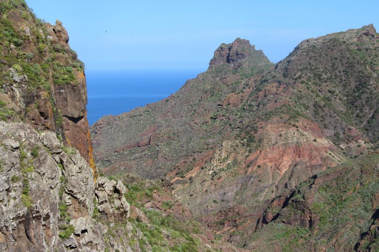
Fact sheet for the PR TF 08 Afur and Taganana trail (14.31 km, +1,603 m) via Tamadite beach: map, elevation profile, bus and tips, based on the official track.
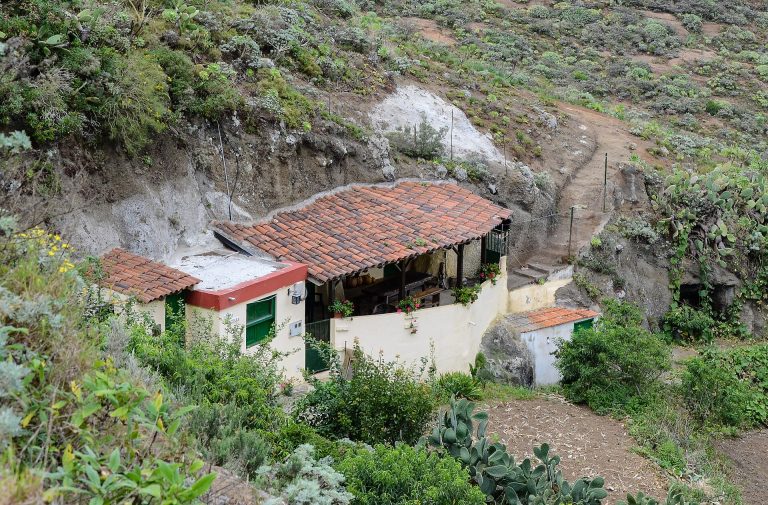
Fact sheet for the PR TF 10 trail from Cruz del Carmen to Punta del Hidalgo via Chinamada (9.88 km, 1,503 m descent): map, profile, bus and tips, based on the official track.
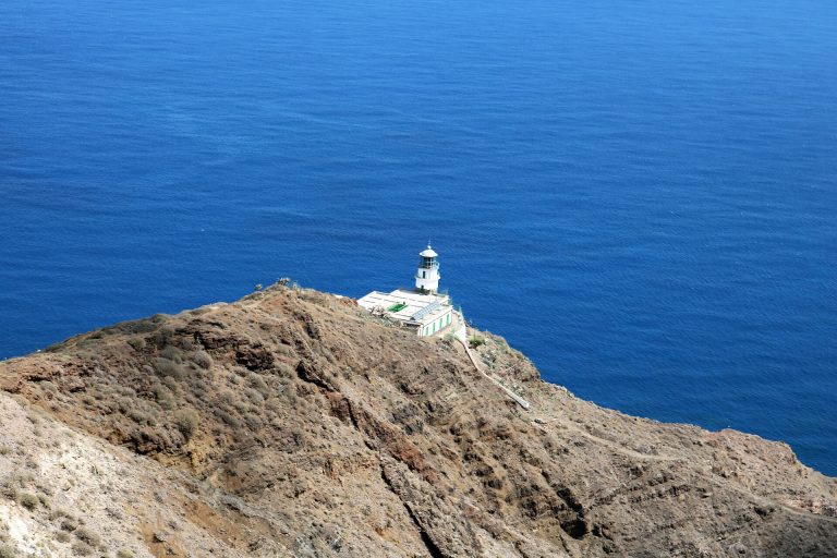
Fact sheet for the PR TF 06 trail from El Draguillo to the Anaga lighthouse via Chamorga (6.80 km, +841 m): map, elevation profile, access and bus, based on the official track.
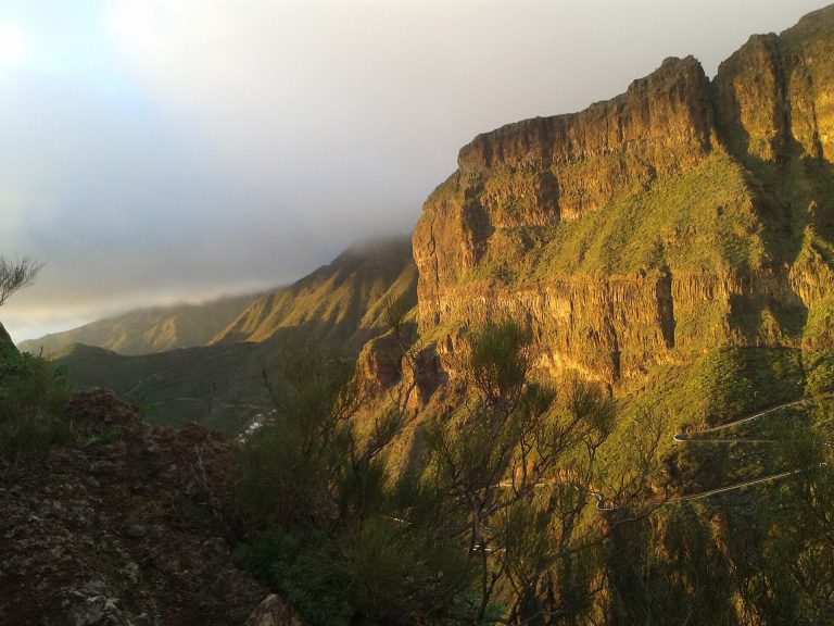
Fact sheet for the Masca Gorge hike (4.81 km descent): map, elevation profile, compulsory booking, bus and boat, based on the official track.
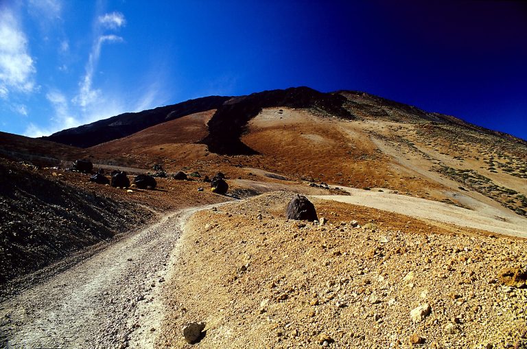
Fact sheet for the PNT 07 trail from Montaña Blanca to La Rambleta (8.29 km, +1,309 m): map, profile, points of attention and required gear, based on the official track.
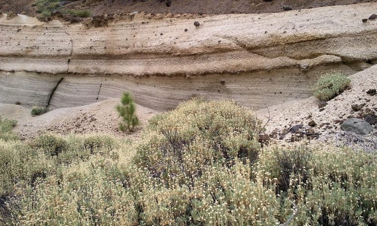
Hike guide from Vilaflor to the Los Escurriales viewpoint and the Lunar Landscape (13.09 km, +853 m): map, elevation profile, bus and tips, based on the official track.
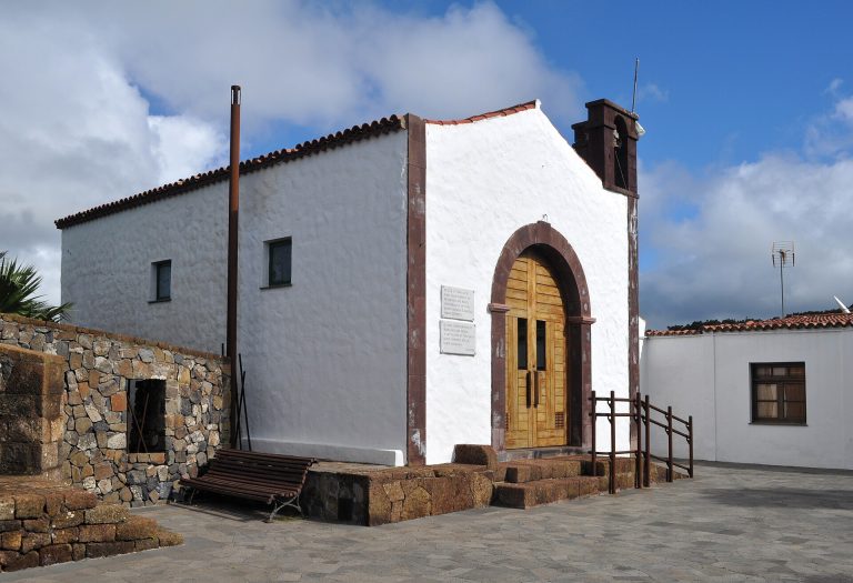
Hike guide to the Camino del Risco, from Teno Alto down to Casablanca (3.73 km, −844 m): map, elevation profile, logistics and tips, based on the official track.
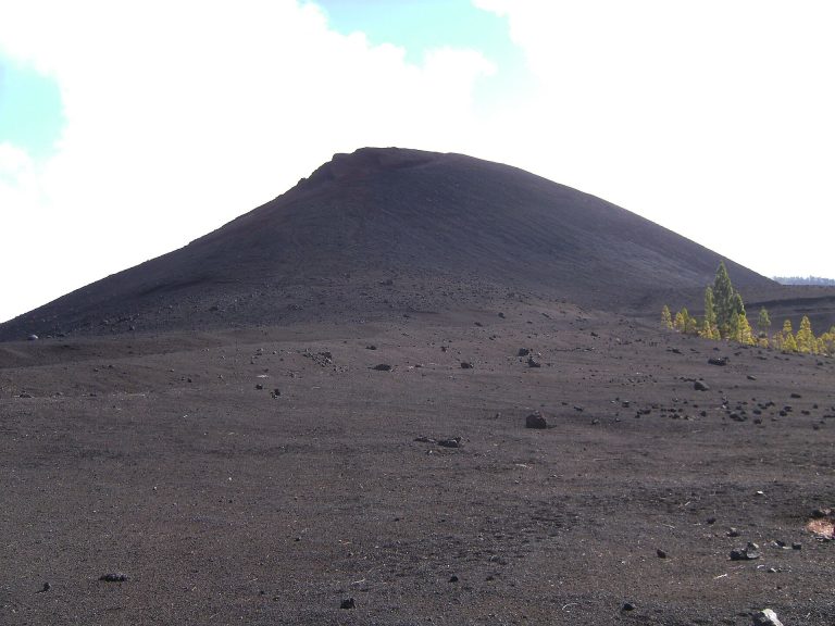
Hike guide to the Arenas Negras loop (5.83 km, +248 m) around the 1706 volcano near Garachico: map, elevation profile and tips, based on the official track.
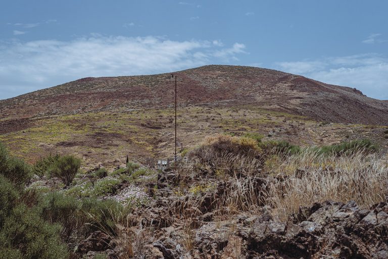
Hike guide to the Arenas Negras loop in Teide National Park (8.05 km, +329 m) from El Portillo: map, elevation profile and tips, based on the official track.
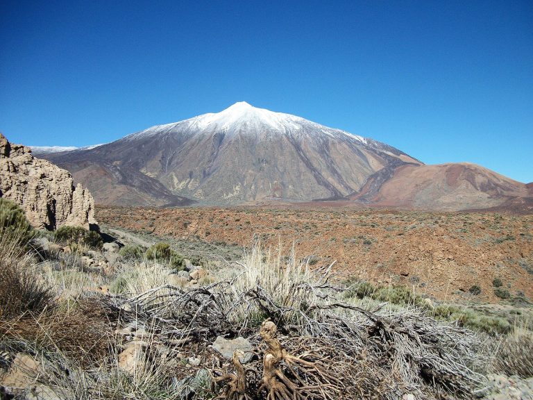
Hike guide to the Siete Cañadas trail (16.39 km, +412 m) between El Portillo and the Parador: map, elevation profile, buses and tips, based on the official track.