


Vilaflor and the Lunar Landscape: a 13 km hike to the Los Escurriales viewpoint (map, profile and tips)
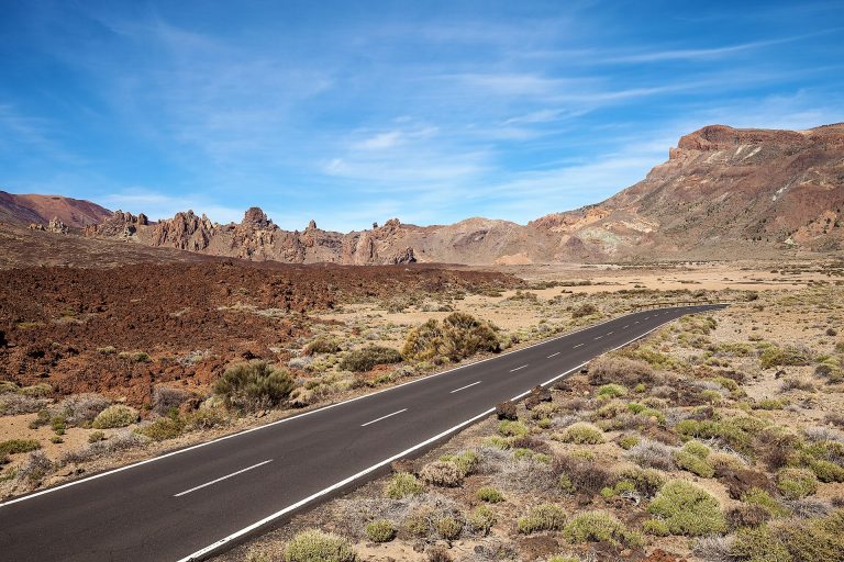
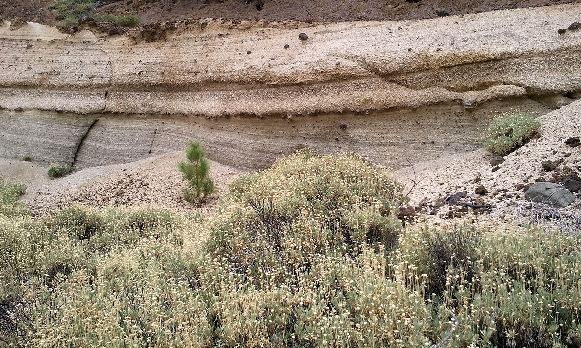
This hike starts in the square of Vilaflor and climbs through pine forest along the old Camino Real de Chasna to the Los Escurriales viewpoint, from where you look down on the Paisaje Lunar, the eroded rock landscape that looks like the Moon. It is a full day on foot: 13.09 km and a little over 850 m of elevation gain, rated moderate.
We haven’t done this hike ourselves yet: we give you what you need to set off without getting lost, and we’ll add our own experience later.
Vilaflor and the Lunar Landscape: the hike at a glance
- 13.09kmDistance
- 5 h 10Estimated time
- +853mElevation gain
- −853mElevation loss
- 1,964mHighest point
- 1,377mLowest point
- LoopRoute type
- ModerateDifficulty
So you don’t get lost
- Start
- Plaza Obispo Pérez Cáceres, Calle Castaños, in Vilaflor. GPS: 28.15903 / -16.63649. Google Maps directions · OpenStreetMap
- Finish
- Same point. You return the same way you came.
- Transport
- Buses 419 and 482, stop “Vilaflor Centro” no. 8362 (TITSA). Parking spaces in the village.
- Waymarking
- Posts and signs showing the PR code and yellow and white marks.
- Access
- Free, no reservation needed for visitors.
- Warning
- Do not walk on the Lunar Landscape itself: stay on the paths.
The route step by step
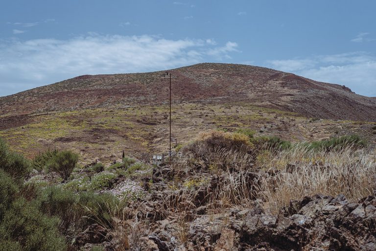
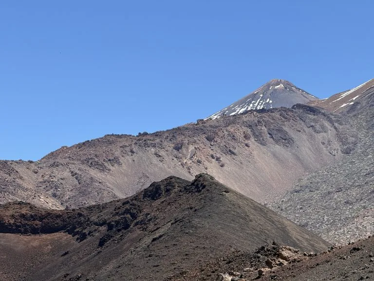
The trail leaves Plaza Obispo Pérez Cáceres and takes the Camino del Atajo, part of the old Camino Real de Chasna that linked the north and south of the island. Once in the pine forest, you pass Casa Galindo, on the edge of the Barranco de Las Mesas. You cross the ravine and keep climbing along the Camino de Chasna, with fine views of the Teide summit.
On the descent you reach the Los Escurriales viewpoint, which overlooks the Lunar Landscape. The trail then joins a path running past Casa de Los Llanitos and brings you back to Vilaflor the same way you came up. The highest point is 1,964 m around kilometre 7.3, and the lowest is 1,377 m, near the start.
Before you go
- A full day’s walk: 5 h 10 quoted. Start early, with plenty of water (there is no water point on the route) and food.
- Elevation: 853 m of cumulative climbing is a real effort. Wear walking shoes, and bring poles if your knees are sensitive.
- Lunar Landscape: stay on the paths and do not walk on the lunar landscape.
- Weather: the pine forest can be cooler than the coast. Check the forecast before you go.
For gear, see our guide to mandatory hiking gear in Tenerife.
Frequently asked questions
How long does it take?
The announced time is 5 h 10 for 13.09 km. Allow more for breaks and a picnic.
Is it hard?
It is rated moderate, mainly because of the distance and the 853 m of elevation gain.
Can I get there by bus?
Yes, with buses 419 and 482 to the “Vilaflor Centro” stop. Check the TITSA timetable. There are also parking spaces in the village.
Do I need a permit?
No, free access for visitors, with no reservation.
Keep exploring
To visit the village before or after your walk, read our guide to Vilaflor. If you want to go higher, see the Teide National Park guide.
More hikes in this series: Roques de García, Siete Cañadas, Arenas Negras (Teide), Arenas Negras (Garachico), Camino del Risco, Masca Gorge, Montaña Blanca (Teide), Anaga Lighthouse and Chamorga, Cruz del Carmen to Punta del Hidalgo, Afur and Taganana.
Data checked on 27 October 2026. Trails can be closed or changed: always check official information before you set off.