


Afur and Taganana: the big Anaga loop via Tamadite beach (map, profile and tips)
Fact sheet for the PR TF 08 Afur and Taganana trail (14.31 km, +1,603 m) via Tamadite beach: map, elevation profile, bus and tips, based on the official track.

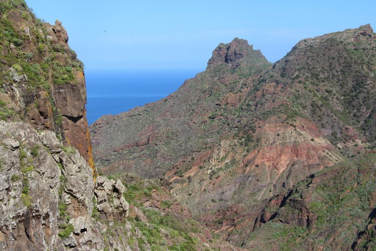
Fact sheet for the PR TF 08 Afur and Taganana trail (14.31 km, +1,603 m) via Tamadite beach: map, elevation profile, bus and tips, based on the official track.
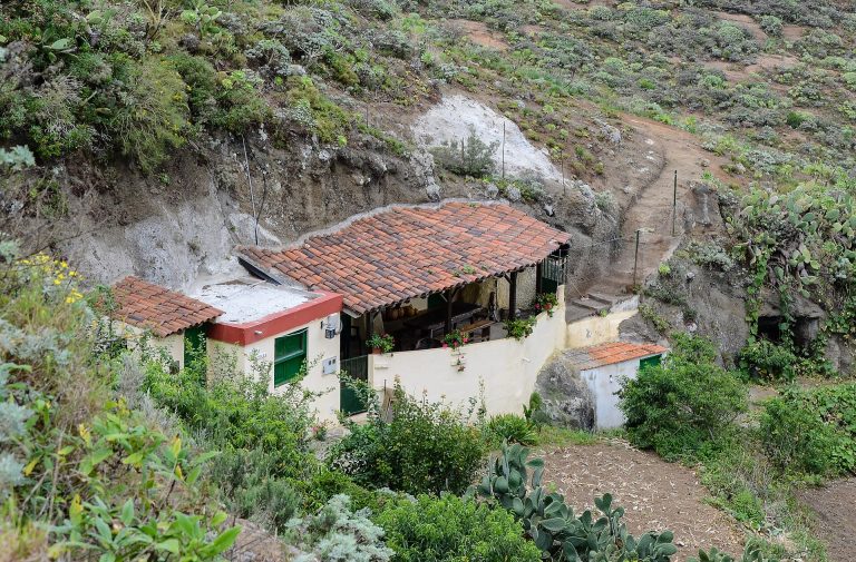
Fact sheet for the PR TF 10 trail from Cruz del Carmen to Punta del Hidalgo via Chinamada (9.88 km, 1,503 m descent): map, profile, bus and tips, based on the official track.
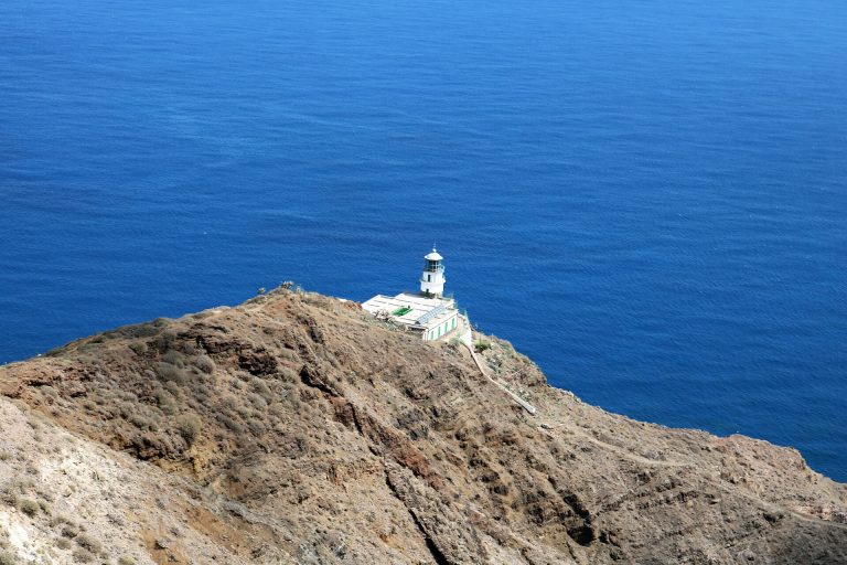
Fact sheet for the PR TF 06 trail from El Draguillo to the Anaga lighthouse via Chamorga (6.80 km, +841 m): map, elevation profile, access and bus, based on the official track.
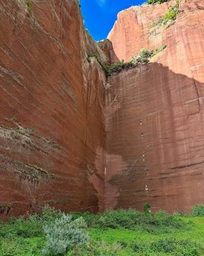
Between Santa Cruz and La Laguna, the Canteras de Tahodio hide impressive ochre and red walls more than 100 metres high, remains of a century-old quarry, at the end of an easy trail that follows an old dam tucked into Anaga. In the Anaga massif, only a few kilometres from the centre of Santa Cruz,…
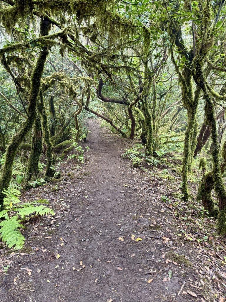
If you are looking for a hike in Tenerife that really feels like leaving the tourist island and entering another world, this loop in the Anaga massif clearly deserves a place on your list. Originally, I simply wanted to discover the famous Bosque Encantado (Enchanted Forest), one of the best-known routes in Anaga. But once…