


Samara hike to Montaña de la Cruz de Tea: a volcanic immersion in the Teide landscapes
If you are looking for a hike in Tenerife that really feels like walking on another planet, this one clearly deserves a place on your list.
Starting from the Mirador de Samara, the landscape begins gently among Canary pines before gradually becoming far more mineral. You cross stretches of lava, areas almost completely bare of vegetation and particularly impressive volcanic landscapes.
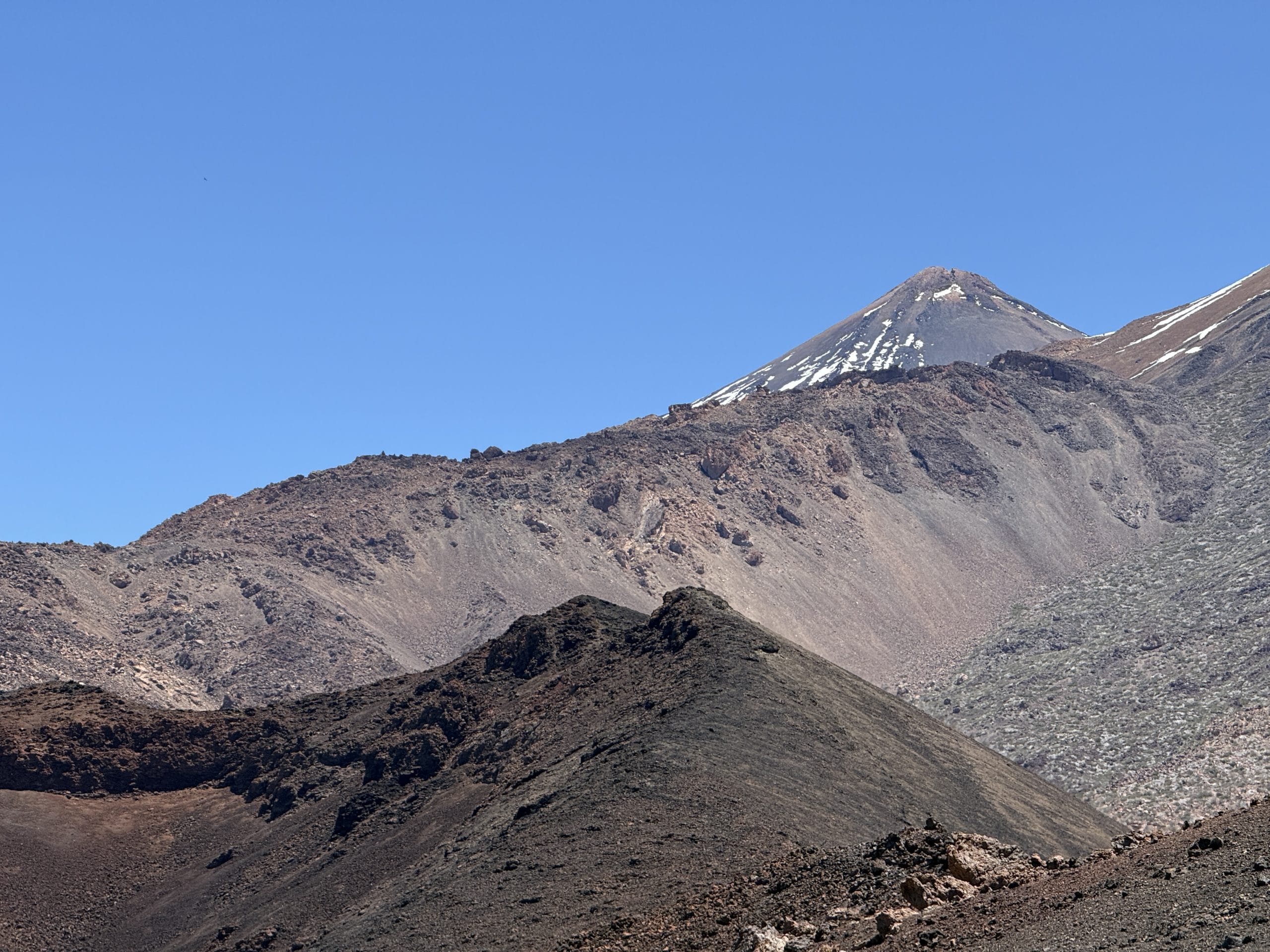
And above all, the view changes as you go: Teide as a backdrop, the volcanic expanses around you and, in the distance, the sea of clouds that sometimes seems to stretch on forever.
I did this loop on 21 April 2026, covering about 9 km with 389 m of elevation gain. My walking time was 1 hour 39, but allow about 2 hours in total with a short lunch break.
🌋 Key things to know
📍 Start: Mirador de Samara
🔄 Type: Loop
📏 Distance: 9.07 km
⛰️ Elevation gain: 389 m
⏱️ Walking time: 1 h 39
🕐 Total time: About 2 h with a break
🥾 Difficulty: Moderate
🌋 Area: Teide National Park
🎟️ Permit: No booking required for this route
📅 Date of my hike: 21 April 2026
The Cuevas Negras area is officially open to free access, without booking, and the official trail PNT 38 notably links trails 9 (Teide to Pico Viejo) and 13 (Sámara) of the national park.
⚠️ Please note, however: the Cuevas Negras caves themselves have restricted access to protect their interior environment, a cave habitat with very particular conditions. So do not try to go inside.
📈 Elevation profile
9.07 km loop · +389 m elevation gain · hike of 21 April 2026
Profile smoothed from my AllTrails track. As it is a loop, the climb and the descent are not alike: the high point is reached around the halfway mark.
Contents
A start that is still fairly wooded
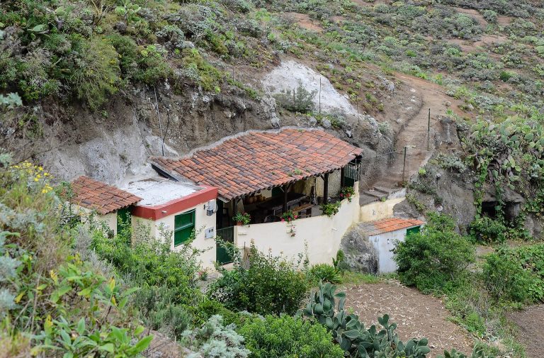
From the Mirador de Samara, the start of the hike does not necessarily hint at what awaits you a few kilometres further on.
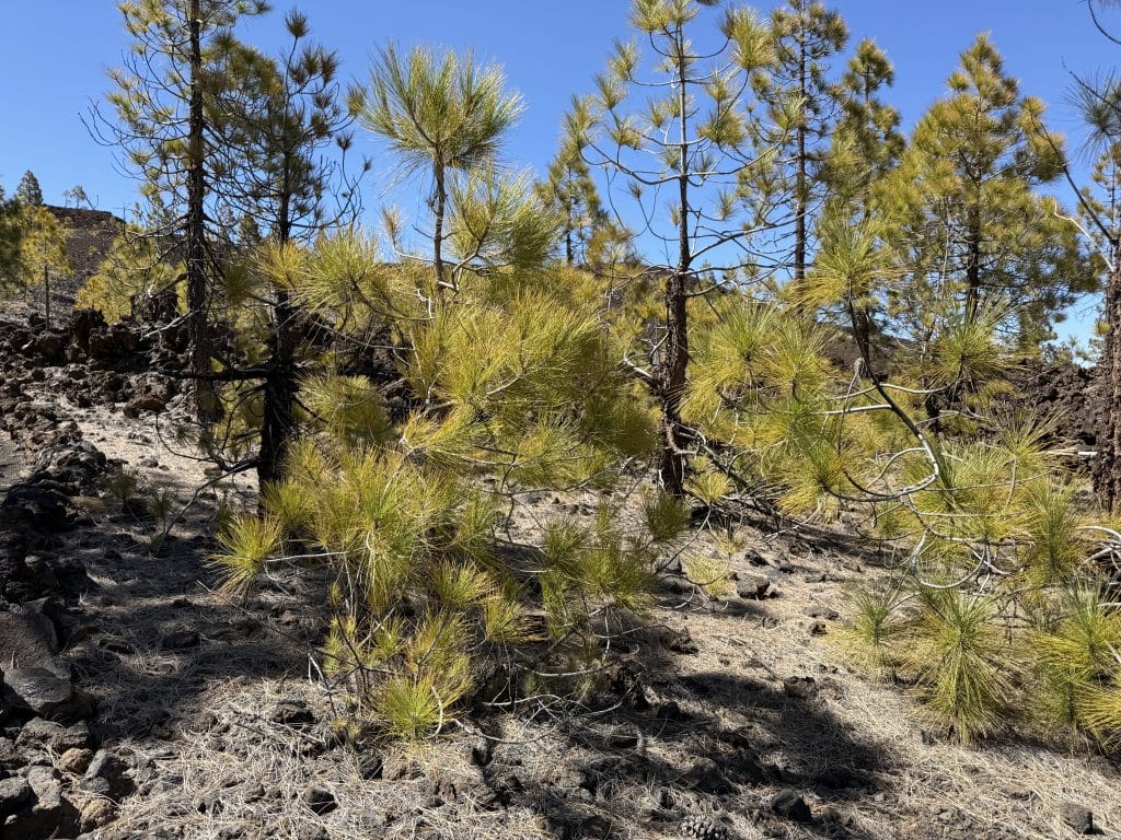
You first move through a relatively green environment, with Canary pines and a few shrubs in particular.
It is quite pleasant to begin with, especially as this section offers a bit more shade.
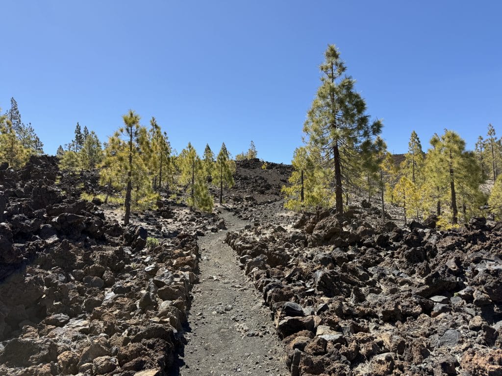
Then gradually, the vegetation becomes much sparser. The scenery changes completely.
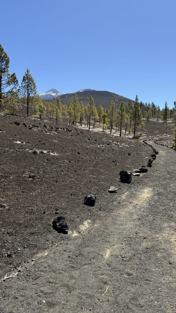
Trees give way to volcanic rock, scoria and old lava flows. You really start to get the feeling of walking through an almost extraterrestrial landscape. The national park, incidentally, describes the area as an environment largely made up of volcanic materials, with zones of lapilli, scoria and lava flows.
When the landscape becomes completely volcanic
This is probably the part I preferred.
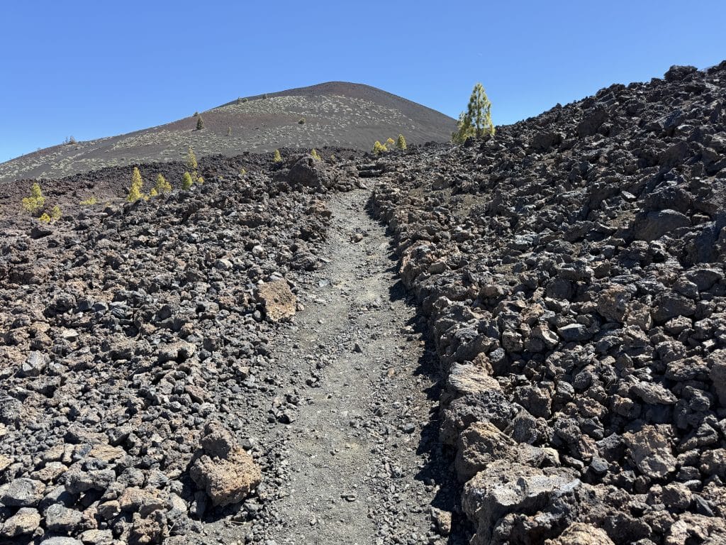
As you gain height, you find yourself surrounded by much rawer landscapes. In places, there is almost no vegetation left. Just rock, lava and volcanic relief as far as the eye can see.
And there is a rather funny detail I was not necessarily expecting: the sound of the lava under your boots.
When you walk on certain areas of volcanic rock, it makes a rather particular sound. Put like that, it may sound completely trivial, but on the spot it really adds to the experience.
You are literally walking in the middle of a landscape shaped by eruptions.
A view that gradually opens onto the sea of clouds
The other big appeal of this hike is that the panoramas are not the same at the start and higher up.
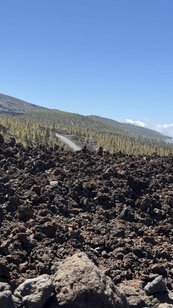
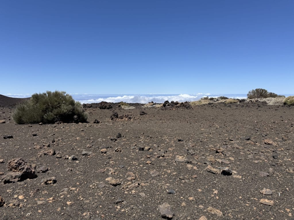
As you gain altitude, your gaze carries much further. Behind you and to the sides, the volcanic landscapes stretch out widely while, towards the ocean, you can see that famous sea of clouds typical of Tenerife’s high ground.
On my hike, conditions were particularly good: lots of sun, only a few clouds, little wind and around 22-23 °C. This combination was frankly perfect for enjoying the scenery.
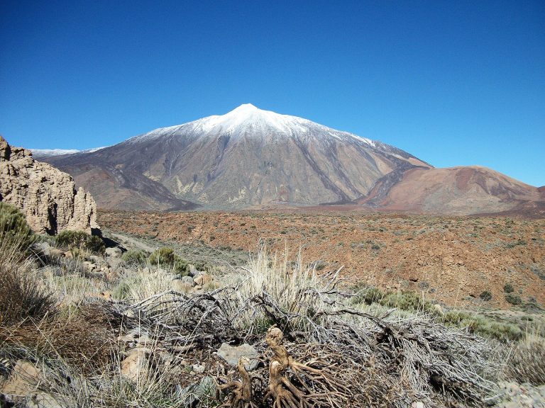
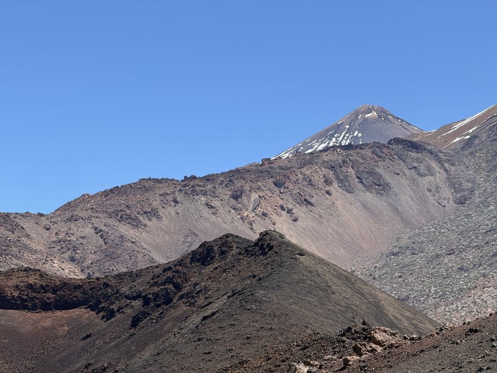
Teide also stands out in the scenery.
The stretch around Montaña de la Cruz de Tea
The route then continues around Montaña de la Cruz de Tea, an old volcanic cone that peaks at about 2,216 m according to Tenerife’s tourist mapping.
The path passes between several volcanic features of the area. On my side, I went to the right of the Cruz de Tea, between the mountain and the road, then between the Cruz de Tea and Montaña de Chío, before reaching the Cuevas Negras area.
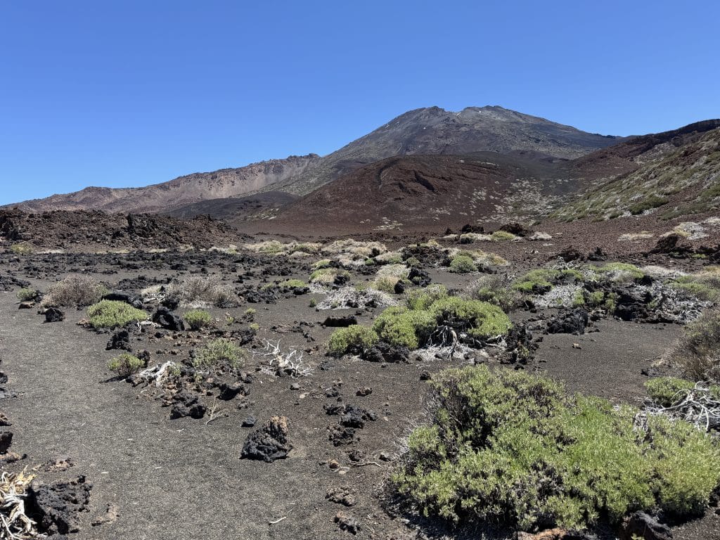
It was from this area that I really had the feeling of being completely isolated. While the start at the Mirador de Samara can be fairly busy, once I reached the higher ground I found myself almost alone.
And that really changes the atmosphere. You no longer feel like you are at a tourist spot on Teide. You are simply in the middle of an immense volcanic landscape.
Cuevas Negras: an even rawer atmosphere
The route then passes through the Cuevas Negras area, also called Cuevas de Chahorra.
This part is particularly mineral: the landscape becomes almost totally bare of vegetation and the old lava flows are covered by finer volcanic materials.
Official trail no. 38 crosses precisely this area between the various volcanic cones, notably Montaña de la Cruz de Tea and Montaña Reventada.
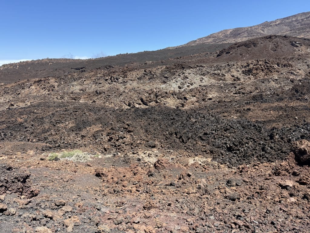
There are several cavities and formations here linked to the old lava flows. Some caves are protected and access is banned or restricted: so do not try to enter the cavities.
An accessible hike, but not completely easy
With 9 km and 389 m of elevation gain, I would rate this hike as moderate.
It is not particularly hard physically, especially if you are used to walking. The difficulty comes more from the terrain than the elevation.
The route is fairly gradual and there is no huge never-ending climb. However, some sections are made up of stones and volcanic rock. So you need to be a bit careful where you put your feet, especially for your ankles.
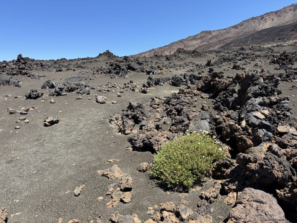
I clearly recommend setting off with real hiking boots rather than very flexible trainers. Poles can also be useful if you are not very comfortable on volcanic terrain.
Practical info: trail, weather and water
🧭 Is the path easy to follow?
Yes. There are a few junctions but I did not find the route particularly complicated to follow.
With a GPS track or an app such as AllTrails, you can easily check that you are heading the right way at the points where several paths cross.
The area is in fact made up of several official National Park trails, which explains the different possible loops and variations. Trail 38 Cuevas Negras notably links trail 9 to trail 13 of Sámara.
I still recommend downloading your route before you set off. In the mountains, the network can of course be patchy.
☀️ What is the best time of day?
I did this hike in the early afternoon, in lots of sun. And honestly, it went very well in April at around 22-23 °C.
But a large part of the route is exposed. There is more shade at the start and towards the end, but once you are in the volcanic zones at altitude, you are often in full sun.
For this reason, I would rather choose the morning, probably the best choice if you want to avoid high temperatures and enjoy the route at your leisure. Or, in my opinion, late afternoon can be absolutely magnificent: with the end-of-day light on the volcanoes, Teide and the sea of clouds, the scenery must be incredible. Sunset from this area can clearly be an excellent option, as long as you plan your return well and do not end up walking at night.
💧 How much water should you bring?
I had about 2 litres of water and it was enough in the conditions of my outing. But it is still a high-altitude hike with sections very exposed to the sun.
So I would take at least 1.5 to 2 L per person, more if it is hot. And of course: cap, sun cream and sun protection.
For the rest of the gear (shoes, sun protection, safety kit…), I wrote a complete guide to hiking gear in Tenerife, covering what changes depending on the type of terrain.
What about Teide and Pico Viejo?
Teide is very present in the landscape, and it is clearly one of the big appeals of the hike.
As for Pico Viejo, I did not particularly make it out on my outing, but the area also offers views of it depending on where you are and the conditions.
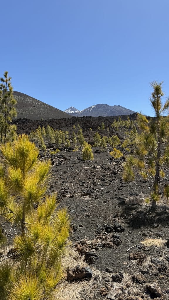
It is no coincidence, incidentally, that the trails in this area are connected to the Pico Viejo area: trail 38 notably joins trail 9, which lets you continue towards Teide and Pico Viejo.
⚠️ Please note, however: seeing Teide or being in the national park does not mean you can simply carry on to the summit. The routes and access to the summit of Teide are subject to specific rules. For this loop, you do not need a particular permit.
My verdict on the hike ⭐
⭐ 7/10
I really enjoyed this hike a lot.
What I liked best was clearly the atmosphere of the landscapes. The contrast between the relatively wooded start and the much more volcanic second half works very well.
And above all, I loved the feeling of walking on the high ground with Teide in the scenery and the sea of clouds in the distance. There are stretches where you look ahead and almost feel that the landscape never ends.
Walking directly on the old lava flows also brings something different from the more classic hikes in Tenerife. And then there is that little sound of the volcanic rock under your boots… it is silly, but it is really a memory I keep from this hike.
What I liked a little less was the lack of shade on some sections. But with good weather and sun protection, it is still very manageable.
I find this hike interesting for someone who wants to discover the volcanic landscape of Teide without necessarily taking on a hard ascent. If you do not feel up to climbing Teide, or simply do not want to, you can still get a real high-mountain feel and discover completely different landscapes.
The hike is relatively long, but physically accessible. I would particularly recommend it to people who like volcanic landscapes, wide open spaces and clear panoramas. For children, it can also be feasible for children used to walking, but the stony terrain needs more attention.
Would I do it again? Yes. But I think I would perhaps do it at a different time of day. A late-afternoon loop with beautiful sunset light on the volcanoes and the sea of clouds could really be incredible.
And if you simply want to discover the area without necessarily doing the full 9 km, you can also do a shorter loop around Sámara. The area offers several variations and the official Sámara trail itself is already an interesting hike among the volcanic cones.
In short
If you are looking for a hike:
✅ with very beautiful volcanic landscapes
✅ without excessive physical difficulty
✅ with little vegetation over a good part of the route
✅ with views of Teide
✅ with a chance of a sea of clouds
✅ with a real feeling of space and isolation
✅ without a permit for this loop
… then Samara to Montaña de la Cruz de Tea is a very good option.
It may not be the best-known hike on Teide, and that is exactly what I liked. The start is relatively busy, but as soon as you gain height, the atmosphere becomes much wilder and rawer.
And for me, that is exactly where the hike becomes interesting.
A great way to discover another side of Teide, without necessarily setting off on an extremely hard hike. ❤️
Do you need a permit for the Samara to Cuevas Negras hike?
No, this loop is freely accessible without booking. Only the Cuevas Negras cavities themselves have restricted access to protect their interior environment: you must not go in.
Can you continue to the summit of Teide from this trail?
No. Seeing Teide or being in the national park does not mean you can carry on to the summit: access to the summit of Teide is subject to specific rules, separate from this loop.
Is this hike hard?
It is moderate. The elevation gain (389 m over about 9 km) remains reasonable, the difficulty comes mainly from the stony, volcanic terrain, which means watching where you put your feet, especially for your ankles.
What is the best time of day for this hike?
The morning avoids the high temperatures. Late afternoon can also be magnificent with sunset light on the volcanoes and the sea of clouds, as long as you plan your return well before nightfall.
How much water should you bring?
Allow at least 1.5 to 2 L per person, more if it is hot: a good part of the high-altitude route is very exposed to the sun, with little shade.