


Masca Gorge: the descent to the sea (map, profile and booking)
Fact sheet for the Masca Gorge hike (4.81 km descent): map, elevation profile, compulsory booking, bus and boat, based on the official track.

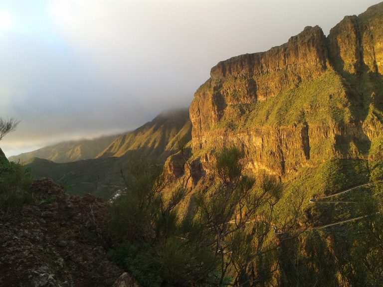
Fact sheet for the Masca Gorge hike (4.81 km descent): map, elevation profile, compulsory booking, bus and boat, based on the official track.
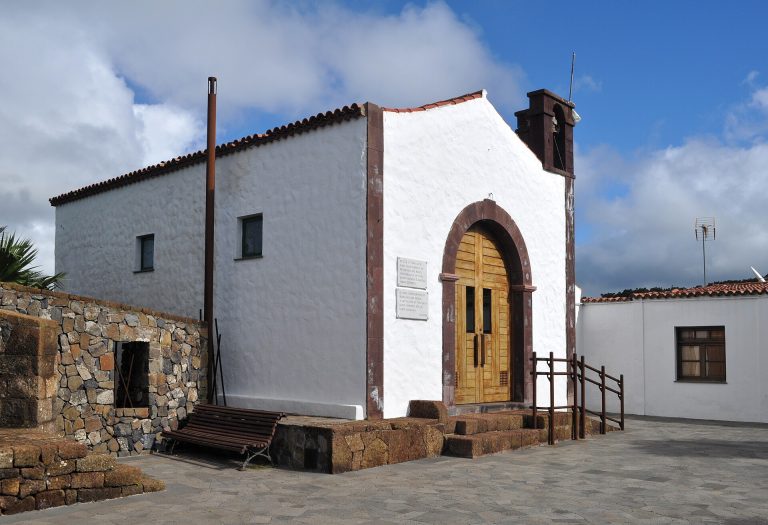
Hike guide to the Camino del Risco, from Teno Alto down to Casablanca (3.73 km, −844 m): map, elevation profile, logistics and tips, based on the official track.