


Arenas Negras at Garachico: a loop around the 1706 volcano (map, profile and tips)
Hike guide to the Arenas Negras loop (5.83 km, +248 m) around the 1706 volcano near Garachico: map, elevation profile and tips, based on the official track.

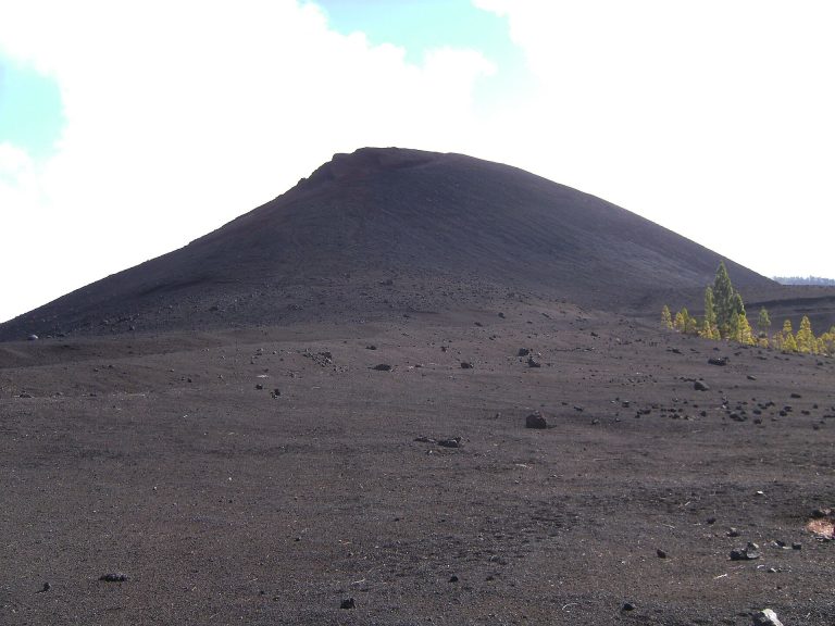
Hike guide to the Arenas Negras loop (5.83 km, +248 m) around the 1706 volcano near Garachico: map, elevation profile and tips, based on the official track.
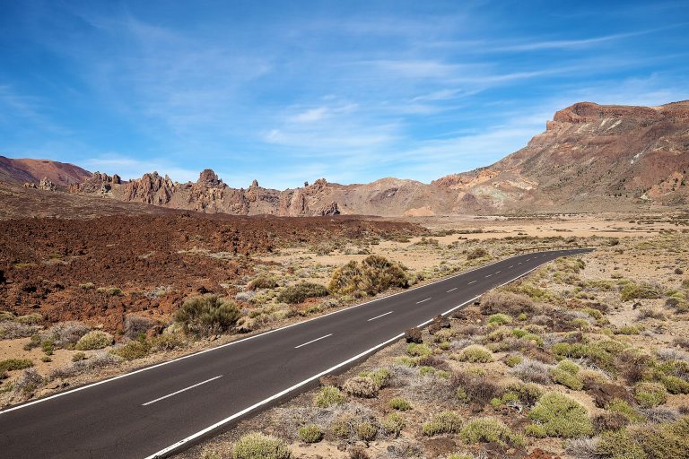
Hike guide to the Roques de García loop (3.47 km, +202 m): map, elevation profile, access and tips, based on the official Teide National Park track.
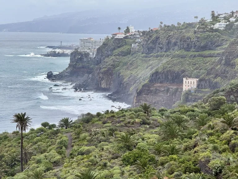
When people think of Tenerife, they often picture the volcanic landscapes of Teide, the arid lands of the south or the cliffs of Los Gigantes. But the north of the island has a completely different feel. The Rambla de Castro, in Los Realejos, is a very good example. Here the vegetation is particularly lush and…