


Tamaimo to El Agujero Hike: the Secret Arch Facing the Los Gigantes Cliffs
When you think of hikes around Los Gigantes, you often picture the big tourist routes or the boat trips at the foot of the cliffs.
Yet there is another way to discover this part of Tenerife: gaining some height.
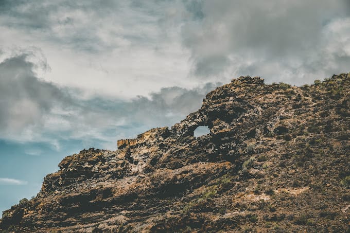
From the village of Tamaimo, a trail climbs steadily into the mountains before reaching one of the most surprising places in the area: El Agujero, an immense natural stone arch perched above the landscape.
And let me tell you right away: the view at the end is well worth the effort of the climb.
🥾 Key facts
📍 Start: Tamaimo
🎯 Destination: El Agujero
🗺️ Area: Santiago del Teide, Los Gigantes area
🔄 Type: Out and back
📏 Distance: 5.76 km
⛰️ Elevation gain: About 430 m
⏱️ Duration: 2h10 (my walking time)
🥾 Level: Moderate, 6.5/10
🌳 Terrain / waymarking: Generally easy to follow, a few less clear sections, one narrow, exposed passage before the arch
☀️ Exposure: Very sunny, little shade, wind possible on the ridges
💧 Recommended water: 1.5 to 2 L
🎟️ Permit: None needed
📅 Date of my hike: April 2026
📈 Elevation profile
5.76 km round trip · +430 m elevation gain · April 2026 hike
Profile smoothed from my GPS track and made symmetrical, since the round trip follows the same path: the descent mirrors the profile of the climb.
Contents
Starting from Tamaimo
The hike starts in the village of Tamaimo, in the municipality of Santiago del Teide.
I parked in the village before setting off.
Worth noting: the day I did this hike, a running race was being held in Tamaimo. Several roads were blocked and it was particularly hard to find a space. Normally, though, parking shouldn’t be nearly as much of a problem.
From the village, you quickly leave the houses behind. And it’s quite impressive to see how fast you go from an urban setting to a much wilder scene.
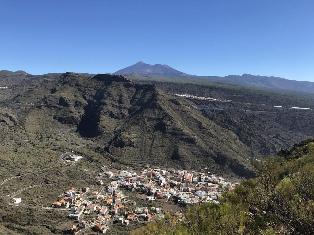
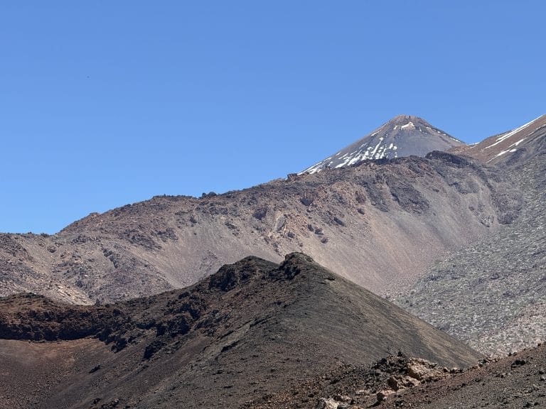
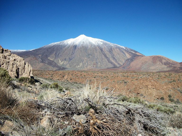
I took this photo a little higher up the trail, looking back: you can clearly see Tamaimo below, and Teide dominating the whole landscape in the background. It gives a good idea of the starting point.
A descent, then the big climb
The start of the hike is fairly gentle: you first go down along the paths that leave the village. The real difficulty comes next, when the trail starts to climb.
Once this descent is behind you, the slope rises quite quickly and some sections are fairly steep. Nothing insurmountable, but it’s best to have a minimum of fitness, especially if you’re not used to hikes with elevation gain. Since it’s an out and back, you get the same profile on the way back: you go back down this slope, then climb back up along the paths at the start to return to Tamaimo.
The terrain also becomes more rocky and uneven in places. This is far from a groomed walk.
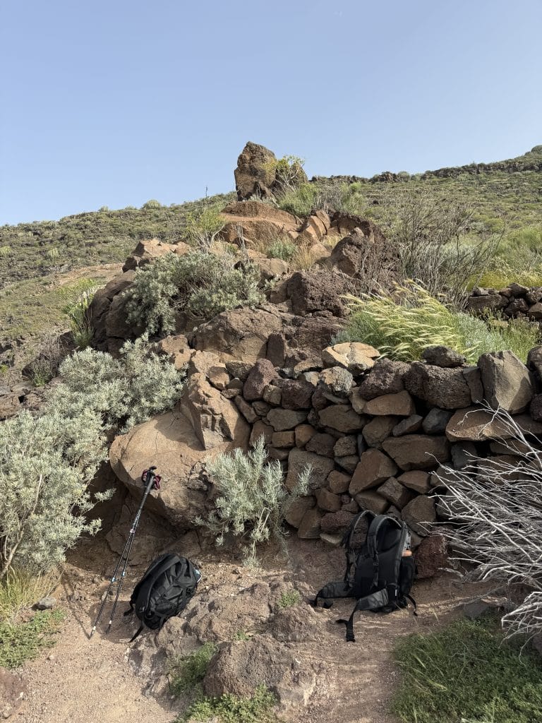
That’s exactly what I enjoyed about this hike: you quickly feel as if you’ve left the tourist areas of Tenerife completely. The houses gradually disappear and the mountain takes over.
Typical vegetation of southern Tenerife
As you climb, the vegetation becomes much more present.
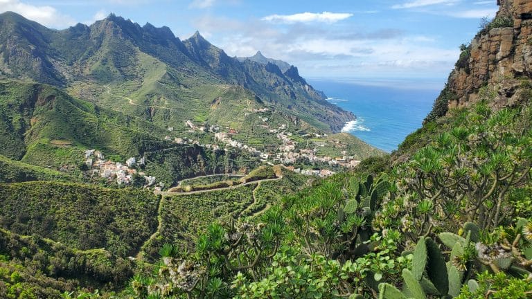
I noticed in particular many cacti, including large colonies of candelabra-shaped Canary Island spurge, as well as various plants and flowers that add a lot of colour to the route.
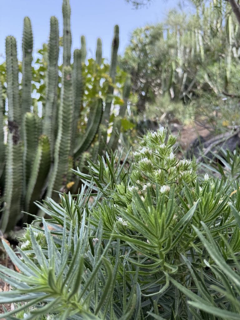
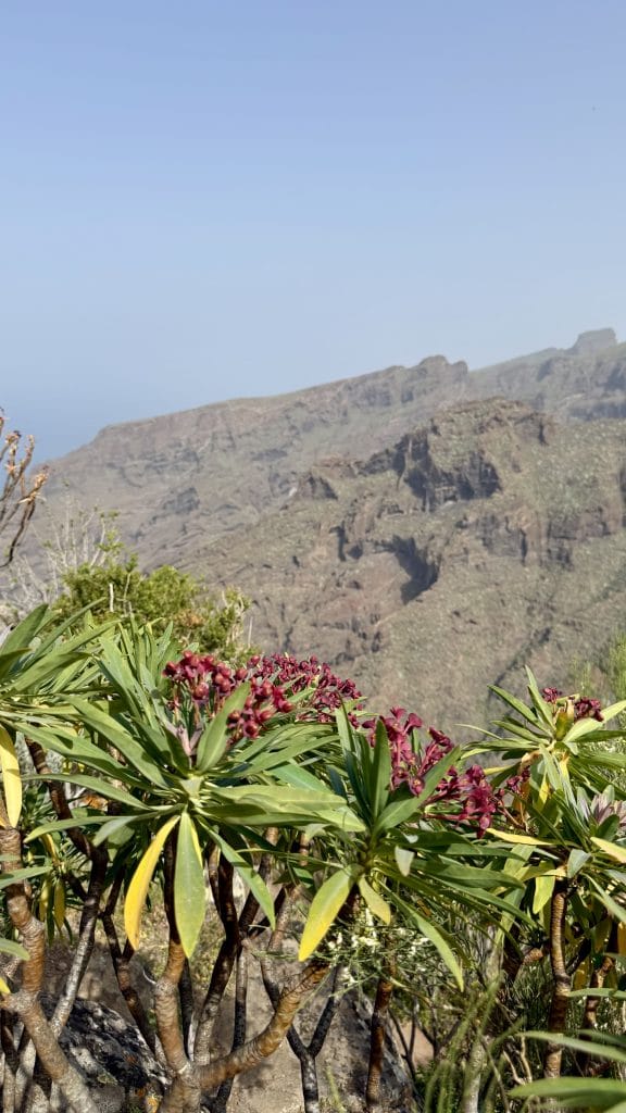
It may not be the first thing you think of when you talk about this hike, but I found the vegetation particularly pretty. And above all, it contrasts with the much drier volcanic landscapes you find elsewhere on the island.
Ever more impressive views
It’s by gaining height that the hike becomes really interesting.
Little by little, the first views of the Atlantic Ocean appear. Then the landscape opens up further.
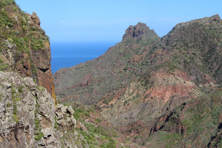
You start to catch sight of the Los Gigantes mountains, the reliefs of south-west Tenerife and, depending on the direction, part of the coastline and the harbour below.
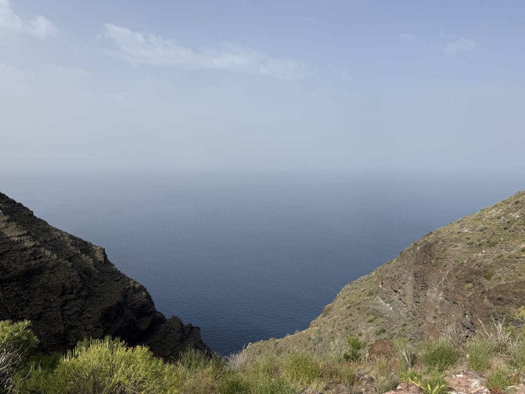
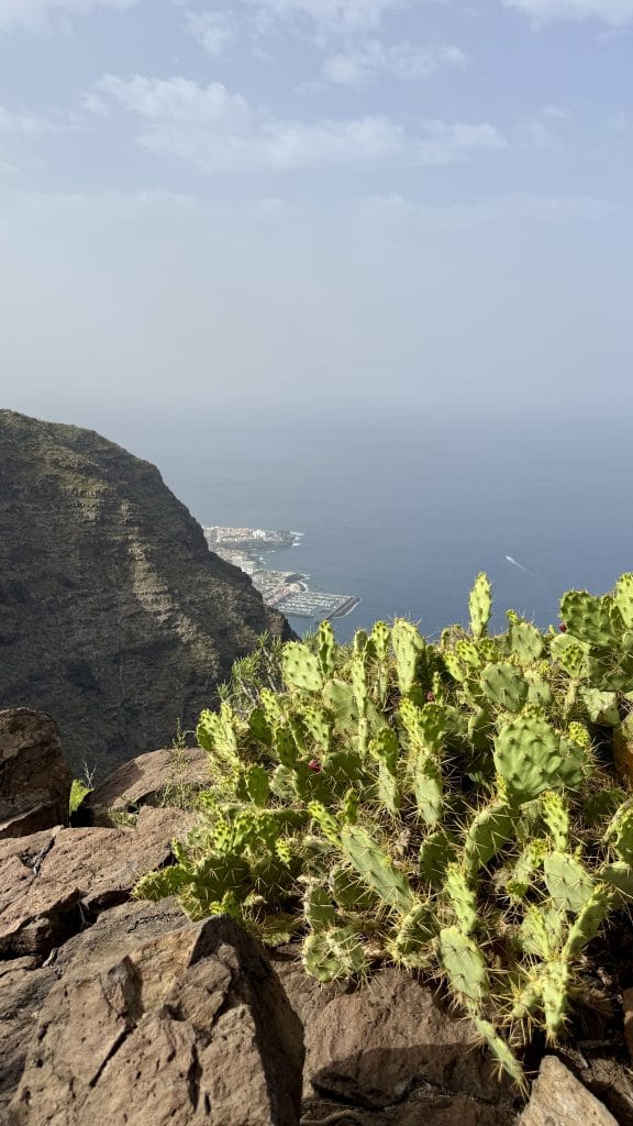
This is probably one of the big strengths of this hike. The trail isn’t spectacular at every metre, but sometimes you only need to turn around to get a completely different view. And the further you go, the stronger the feeling of height becomes.
A wild but generally easy-to-follow trail
The route is generally easy to make out, but there are two or three spots where you still need to check your way.
I used AllTrails to follow the Tamaimo to El Agujero hike, and it helped me stay on the right path. It’s something I recommend for this kind of hike in Tenerife: even when the trail seems obvious, several tracks can quickly branch off in different directions.
My tip: keep your GPS open and check your route at junctions rather than simply following the path that looks most obvious.
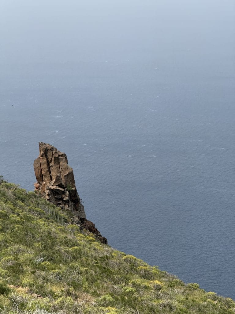
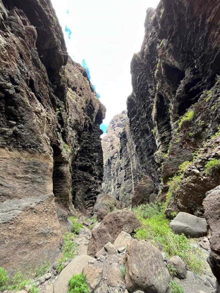
The trail also passes some rather unusual rock formations, like this isolated rock spire, which give the hike a real wild feel.
The section that needs the most care
As you near the end, the terrain becomes a little more technical.
There is notably a narrow, exposed section where you really have to watch your footing. It isn’t an endless stretch, but if you’re even a little prone to vertigo, the experience will be different. That’s also why I recommend good shoes.
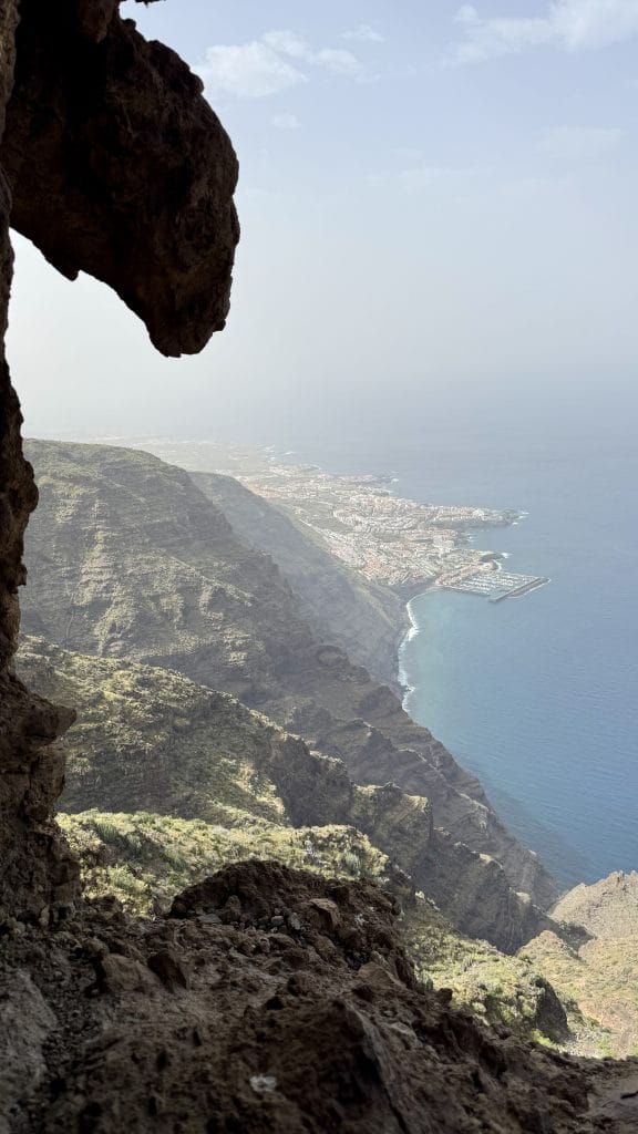
This view gives a good idea of the feeling of height towards the end of the route. If you’re sensitive to heights, don’t take this section lightly: it’s better to move calmly, without trying to go fast.
El Agujero: the star of the show
And then you finally reach El Agujero.
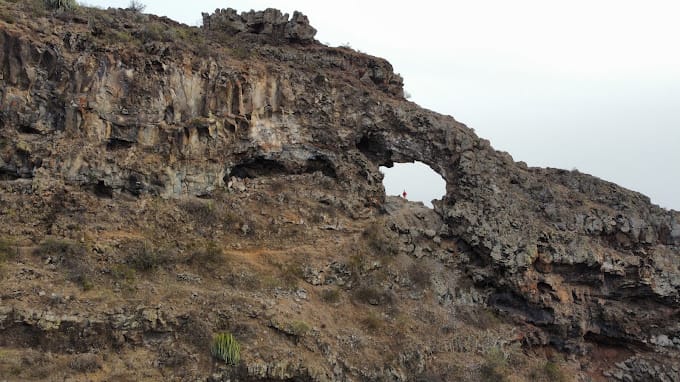
The name literally means “the hole” in Spanish. The site is best known for its impressive natural stone arch, sometimes called El Arco locally.
And there, the mood changes. The arch opens up in front of you with a completely clear view of the ocean.
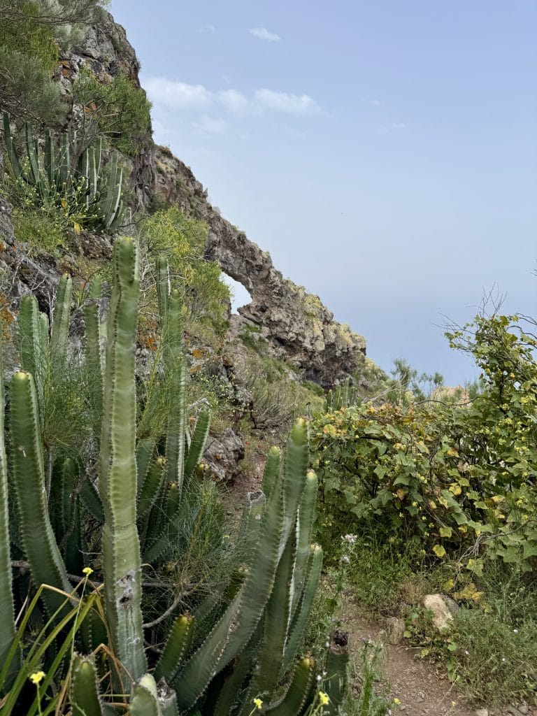
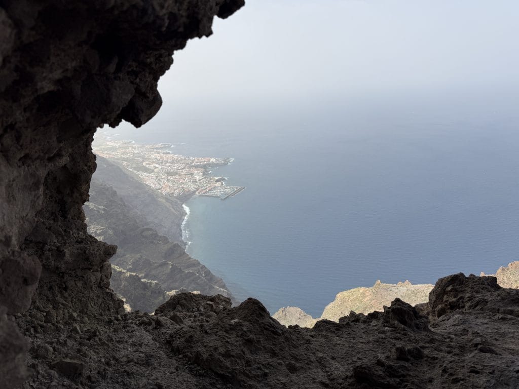
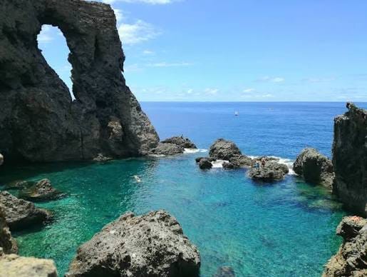
This is clearly the highlight of the hike. From the arch, the sense of emptiness is quite impressive. You look down over the reliefs and enjoy a dizzying view of the south-west of Tenerife, including the coastline and the Puerto Santiago and Los Gigantes area below.
It’s typically the kind of place that makes you feel you’ve discovered a little hidden corner of Tenerife. And even though the hike itself isn’t extremely long, arriving really feels like being rewarded for the effort.
A hike very exposed to sun and wind
I did this hike in April 2026, in bright sunshine. Temperatures were probably around 23 to 24 °C, but with quite a lot of wind.
And that’s something to take into account. There is little shade on the route, and a large part of the hike is in full sun. The wind can also be quite strong on the most exposed parts.
Personally, it’s even the main downside I remember from this outing. So I would clearly choose the morning, especially in the hottest periods. I did it in the afternoon and it’s perfectly doable, but with less direct sun and less heat, the experience must be even more pleasant.
For my 5.76 km, I had about 1 litre of water. Looking back, I’d rather advise setting off with 1.5 L minimum, even 2 L when it’s hot. It’s not an extremely long hike, but the sun, the elevation gain and the lack of shade can quickly increase your water consumption. Add the big climb that follows the descent at the start and you’ll understand why it’s better to have a bit of a reserve.
Back to Tamaimo
Once I reached the arch, I simply turned around.
There are other variants and longer routes around El Agujero, notably loops via the Cruz de los Misioneros and the Montaña de Guama. But for this outing, I just wanted to enjoy the route to the arch and then head calmly back to Tamaimo.
The way back lets you enjoy the panoramas once more, but from another angle. And after discovering the arch, the descent naturally feels a little different: you now know what awaits behind every bend.
My verdict on the Tamaimo to El Agujero hike ❤️
⭐ 6.5/10
I really liked this hike. It’s not the most incredible one I’ve done in Tenerife, but it has several qualities that make it really worthwhile.
What I liked most: the final view from El Agujero, the panoramas over the ocean and the Los Gigantes mountains, the vegetation and the cacti, and the relatively wild feel of the route. I also appreciated that this hike is less well known than some of Tenerife’s big classics: it really gives the feeling of discovering an unusual spot.
What I liked least was mainly the wind on the day I did it. And some sections are a bit technical and require you to stay alert. But nothing that would stop me from doing this hike again.
Do I recommend it? Yes. If you’re spending a week in Tenerife and looking for a hike different from the big tourist classics, Tamaimo to El Agujero clearly deserves a place in your plans.
It takes a minimum of effort, but remains accessible to someone who walks regularly and takes their time. I’d call it a moderate, slightly sporty hike, without being a big mountain hike. However, if you have vertigo, be especially careful on the final section.
And above all: don’t come just to tick the arch off on a map. Take the time to enjoy the scenery throughout the climb. Because in the end, El Agujero is the final reward, but the way to get there is part of the pleasure.
My tips before you go
🥾 Shoes
Go for proper hiking shoes, especially for the final section.
💧 Water
Allow 1.5 L minimum, up to 2 L if it’s hot.
☀️ Timing and sun protection
I’d rather recommend the morning. Sun protection is essential, as there is little shade on the route.
📱 GPS
I recommend using AllTrails, Wikiloc or another GPS app: the trail is generally easy to follow, but a few junctions can be confusing.
⚠️ Vertigo
Be careful on the narrow, exposed section as you approach the arch if you’re sensitive to heights.
Want to discover a different Tenerife? 🌋
If you like hikes that stray a little from the classic tourist trails, Tamaimo to El Agujero is clearly the kind of route I recommend keeping in a corner of your travel notebook.
A climb into the mountains, cacti, panoramas over the ocean, the Los Gigantes reliefs and, to finish, an impressive natural arch hanging above the landscape.
A small hike, but with a real reward at the end. ❤️
Do you need a permit to hike to El Agujero?
No. Unlike other hikes in Tenerife such as the Teide summit or the Pijaral area in Anaga, no authorisation is needed for this hike.
Is this hike suitable for beginners?
It remains accessible to someone who walks regularly, but the big climb after the initial descent is quite sustained and the final section is narrow and exposed. I’d class it as moderate rather than easy.
What is the best time to do this hike?
I clearly recommend the morning, especially in hot periods: the route is very exposed to the sun and there is little shade.
Is the final section dangerous if I have vertigo?
There is a narrow, exposed section just before reaching the arch. If you’re sensitive to heights, move carefully and take your time there.
Where to park for this hike?
The start is from the village of Tamaimo, where parking is normally possible. However, check that there is no local event (such as a running race) that could block some roads that day.