


Arco de Tajao in Tenerife: the Secret Arch Few Visitors Know
Discover the Arco de Tajao, a hidden volcanic arch in the south of Tenerife, carved by erosion about 200,000 years ago. Few visitors know it, and yet it clearly deserves the detour.
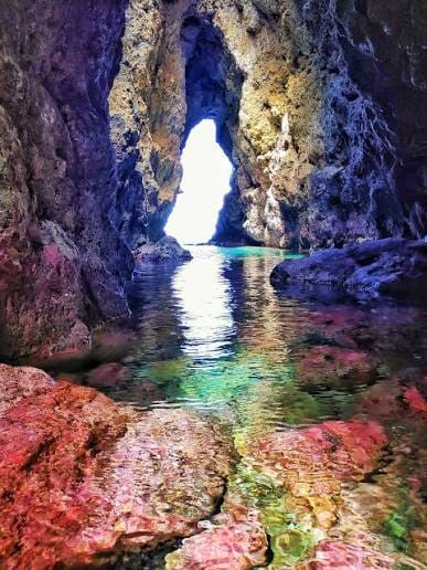
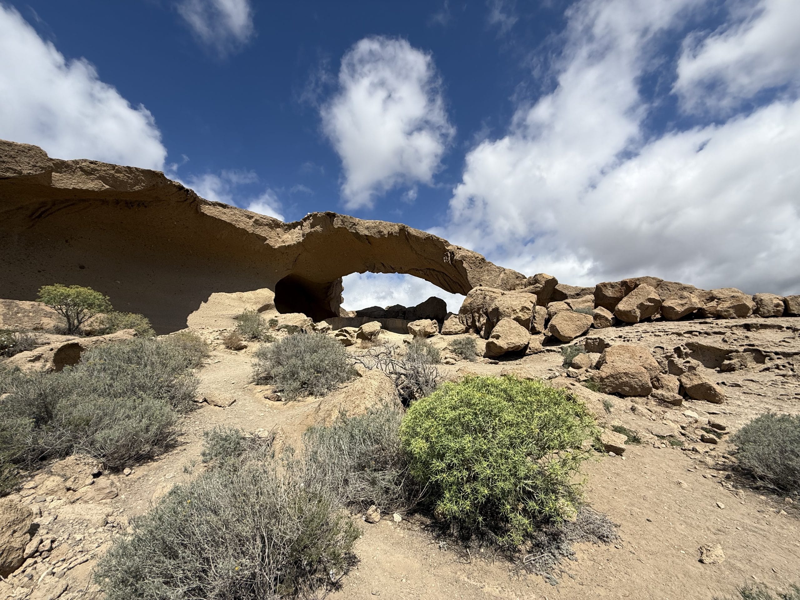
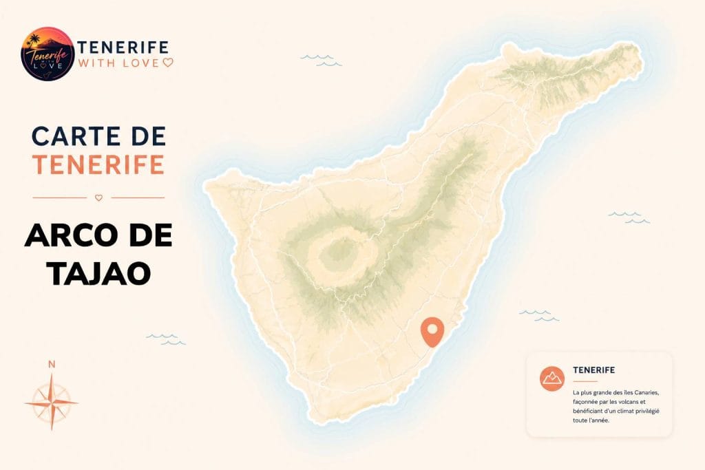
In the south of the island, between Poris de Abona and El Médano, lies one of the most surprising landscapes in Tenerife: an arch of white and yellow volcanic stone, set in the middle of an arid scene that has nothing to do with the rest of the island. No sign, no tourist facilities: just the rock, shaped by wind and water over millennia.
In this guide, I explain how to find the Arco de Tajao, how long to allow, and what there is to do in the surrounding area to round off the visit.
⭐ Key facts
📍 Location: Municipality of Arico, south-east Tenerife, between Poris de Abona and Tajao
🎯 GPS coordinates: 28.11567, -16.47288
🚗 Access: Exit 46 of the TF-1, towards Tajao / Complejo Ambiental (TF-632)
🅿️ Parking: Large free esplanade at the TF-631/TF-632 junction, or parking possible at the roadside
🥾 Walk: About 10 minutes from the car park (short but steep in places)
💰 Price: Free
☀️ Shade: Almost none, arid and desert-like landscape
🕐 Best time: Morning or late afternoon, in calm weather (the site is unpleasant when it’s windy)
📋 Contents
📍 The Arco de Tajao: a landscape apart on the island
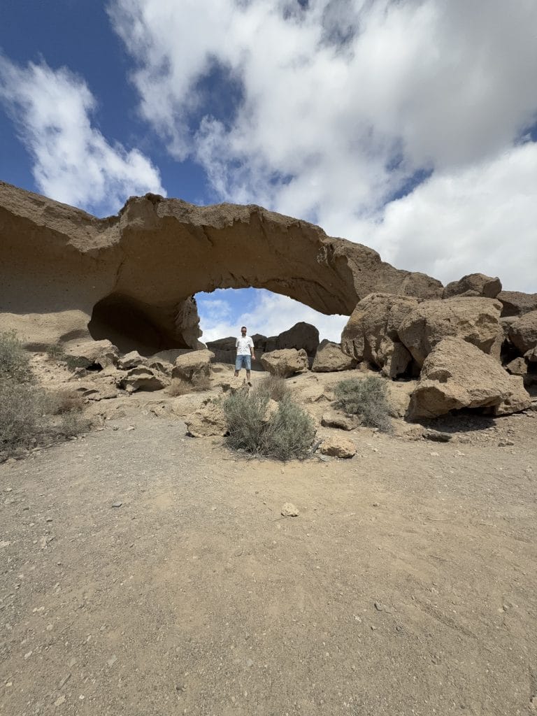
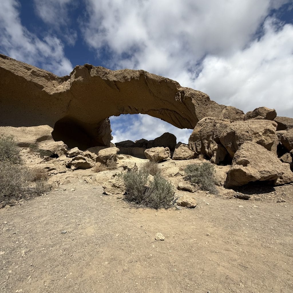
Formed about 200,000 years ago, this natural arch, around thirty metres long, was not born from lava, but from the erosion of wind and water on the “tosca”, a compacted white volcanic ash typical of the Arico region. The result: a yellow and white, arid, almost desert-like scene that contrasts completely with the rest of Tenerife’s dark volcanic landscapes.
Tenerife With Love tip:
This is clearly one of the most different landscapes I’ve seen on the island. You almost feel transported elsewhere, into a sort of Wild West atmosphere, isolated from any building. A photo with someone in front also gives a much better idea of the real size of the arch than an empty view.
🗺️ How to find the Arco de Tajao
This is the most important point: this site is not marked by any tourist sign. It’s better to have the GPS point in mind before you set off rather than searching on site.
📍 From the TF-1 (north or south): take exit 46, towards Tajao / Complejo Ambiental
🚦 At the TF-631 and TF-632 junction: you’ll find a large esplanade to park on
🅿️ Alternative: It’s also possible to park at the roadside without much trouble
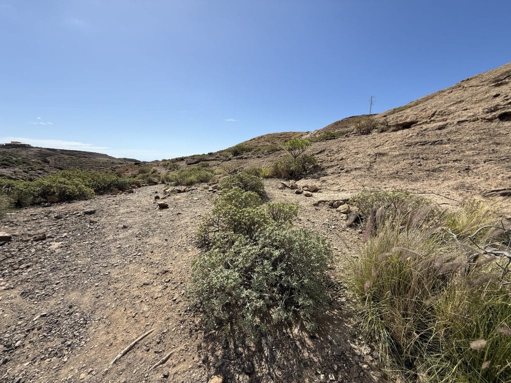
🥾 Then on foot: Allow about 10 minutes’ walk from the car park to reach the arch, going down into the Bijagua ravine
Tenerife With Love tip:
I found the place quite easily, but the GPS clearly helps you avoid going round in circles. You can mark the GPS point in your “Maps” or Google Maps app before you leave rather than counting on signs, as there are none.
🌵 What to do nearby
The site itself is visited fairly quickly (allow 30 to 45 minutes on site), so you may as well take the chance to explore the surroundings:
Playa de Tajao: A pebble beach right next door, with beautiful sandstone formations on the shore.
San Miguel de Tajao: The small neighbouring fishing village, for a simple lunch by the water.
The full hike: For the most motivated, a route links La Maretas to the arch via La Caleta and Las Arenas, along the coast.
❤️ My verdict on the Arco de Tajao
A real secret spot, as long as you don’t settle for just the photo.
What I liked most is the contrast: after seeing most of Tenerife’s dark volcanic landscapes, coming across this white and yellow arch, isolated and almost desert-like, is a complete change of register. It’s quick to visit, free, and easy to reach from the south of the island.
Clearly the kind of detour that’s worth it if you’re already in the area.
Only downside : there’s practically no shade on site, so avoid the hottest hours of the day, especially in summer.
Read also: Vilaflor, the mountain village on the road to Teide.
Frequently asked questions about the Arco de Tajao
Where is the Arco de Tajao?
The Arco de Tajao is in the municipality of Arico, in the south-east of Tenerife, between Poris de Abona and Tajao. GPS coordinates: 28.11567, -16.47288.
How do you get to the Arco de Tajao?
Take exit 46 of the TF-1, towards Tajao / Complejo Ambiental (TF-632). At the TF-631 and TF-632 junction, a large free esplanade lets you park (or you can park at the roadside). Then allow about 10 minutes’ walk from the car park.
Do you have to pay to visit the Arco de Tajao?
No, access is free.
What is the best time to visit the Arco de Tajao?
In the morning or late afternoon, in calm weather: the site offers almost no shade and becomes unpleasant when it’s windy.
How long should you allow to visit the Arco de Tajao?
The site is visited fairly quickly: allow 30 to 45 minutes on site, in addition to the roughly 10 minutes’ walk each way.
What is there to do near the Arco de Tajao?
Nearby, you can discover Playa de Tajao (a pebble beach with beautiful sandstone formations) and the fishing village of San Miguel de Tajao.